Pásztó - Muzsla (path marked with green plus)
Starting point: Pásztó (170 m)
| Latitude/Longitude: | 47,91579°N 19,69760°E |
| |
Route name: path marked with green plus
Walking time: 3 h 15 min
Difficulty: easy marked way
Elevation gain: 635 m
Elevation difference along the route: 720 m
Map:
Recommended equipment (summer):
Recommended equipment (winter):
Views: 115
 | 1 person like this post |
Access to starting point:
We arrive in Hungary via the border crossing Pince / Tornyszentmilkos. We drive to Budapest, bypass it on the M0 motorway, and exit at the Nyíregyháza exit.
We then continue towards Nyíregyháza, Miskolc to the town of Hatvan, where we leave the motorway at the Hatvan, Salgotarján, Galyatető exit.
We head towards Salgotarján but only to the Pásztó exit. In the town of Pásztó, we park the vehicle in a suitable place (in 2025 all parking lots were free).
Route description:
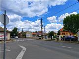
The path starts in the town of Pásztó in Szentlélek utca street. At this intersection, we notice the first markings on the electricity pole.
We continue along the street to a junction, where we turn right into Galamb ut street. Here the street seems to end at the mill, but the path continues over a small bridge, where we cross the Kővecses patak stream. On the other side of the stream, we turn left into Táncsics ut street, along which we walk another five minutes, then leave the town.
Once we leave the town, the markings become quite rare, but orientation is not difficult as our goal is ahead and the path leads east.
When we reach the forest and the hunting observation post, markings reappear, and after a few junctions we arrive at a fence.
A little further, we leave the fenced area and go right south, but only to the next hunting observation post, where the path turns east again.
Until now, the gentle path gradually becomes steeper, followed by some descent to the next stream, then we return to dense forest. Next, we reach the next junction where the ground becomes more rocky.
The track temporarily ends and the path leads across a grassy slope, which becomes steeper and dangerous for slipping when wet; looking back offers a nice view of the town below.
When we return to the forest, we ascend first gently, then steeper on a fairly rocky surface, higher we reach the Nyikom nyereg pass, where on the right is a poorly marked side path to the Nyikom viewpoint (10 min).
Here the path from the town of Mátrakeresztes joins, but we go right.
The path continues along the ridge with some short ascents and descents, then we descend to the Ólom tető saddle, where an unofficial path from Mátrakeresztes joins.
At the Muzsla nyereg pass, the path marked with a red triangle also joins.
Followed by five minutes of quite steep ascent to the summit, which is in the forest and offers no view.

Photos:
 1
1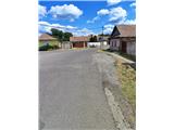 2
2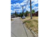 3
3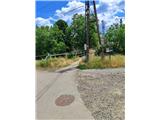 4
4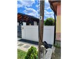 5
5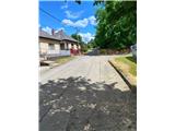 6
6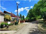 7
7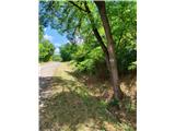 8
8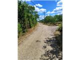 9
9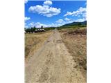 10
10 11
11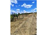 12
12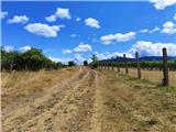 13
13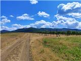 14
14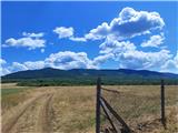 15
15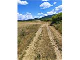 16
16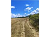 17
17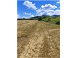 18
18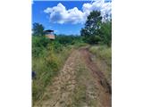 19
19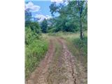 20
20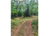 21
21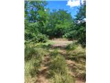 22
22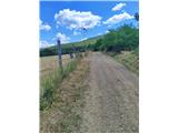 23
23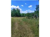 24
24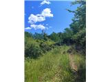 25
25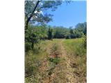 26
26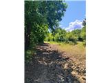 27
27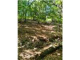 28
28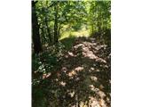 29
29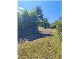 30
30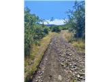 31
31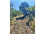 32
32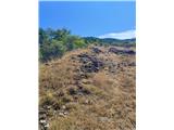 33
33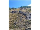 34
34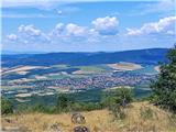 35
35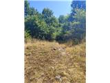 36
36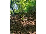 37
37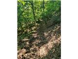 38
38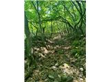 39
39 40
40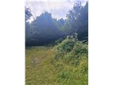 41
41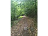 42
42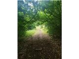 43
43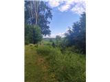 44
44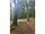 45
45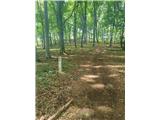 46
46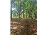 47
47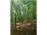 48
48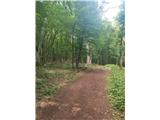 49
49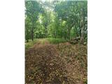 50
50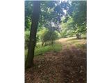 51
51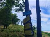 52
52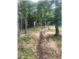 53
53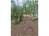 54
54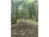 55
55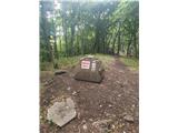 56
56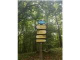 57
57 58
58
Discussion about the trip Pásztó - Muzsla (path marked with green plus)
To post a comment you must log in:
If you do not yet have a username, you must first
register.