Phliški bajer - Mengeška koča on Gobavica (ridge path)
Starting point: Phliški bajer (329 m)
| Latitude/Longitude: | 46,16810°N 14,53850°E |
| |
Route name: ridge path
Walking time: 1 h 10 min
Difficulty: easy marked way
Elevation gain: 104 m
Elevation difference along the route: 200 m
Map:
Recommended equipment (summer):
Recommended equipment (winter):
Views: 13.859
 | 3 people like this post |
Access to starting point:
A) From the highway Ljubljana - Jesenice, we take the Vodice exit and continue driving towards Vodice. At the traffic-light intersection in Vodice, we continue straight, then at the next intersection right in the direction of Bukovica pri Vodicah and Utik. Further, we drive past a few hamlets, then to the right branches off the road towards the village Šinkov Turn. Here we also continue straight, then after a few hundred meters right towards Phliški bajer. We park at an appropriate place near the bajer.
B) First, we drive to Mengeš, then continue driving towards Komenda. At the end of the settlement Mengeš, just a little after crossing the stream Pšata, we turn left onto a local road towards the settlement Topole. Before arriving at the mentioned settlement, we turn left again, this time towards Utik. Further, we drive on the local road, first through the forest, then across a larger meadow. Here to the left already branches off one of the marked paths, but since there are no appropriate parking spots here, we drive to the first houses and there turn left towards Phliški bajer. We park at an appropriate place near the intersection or the bajer.
Route description:
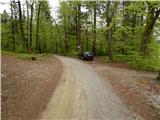
From the starting point we first walk to Phliški bajer, then continue along its southwestern edge. Here we continue left and for a short time still along the bajer, then the path begins to ascend transversely and a little higher joins a marked cart track (the cart track starts near the saddle at 342 m - northeastern side of the bajer), which we follow to the right. The cart track soon brings us to an indistinct ridge, where it turns sharply left (here the path from Šinkov Turn also joins us). We continue along the path, which then relatively gently ascends through the forest. A little higher we step onto a wide cart track, and in a few steps of further walking along it we reach a marked junction.
At the junction we continue left towards Mengeška koča (right Dobeno and Rašica) and in a few minutes ascend to the indistinct summit Magarovnik (402 m). A short descent follows to the saddle between Magarovnik and Marin hrib. Here a less visited path from the village Topole joins us from the left, and we continue straight and almost imperceptibly ascend to Marin hrib (408 m).
From the summit, where there is usually a stacked pile of logs, we begin descending again. After a short descent we exit the forest, and before the houses we turn left into the strip of forest. Here the path steeply ascends for a short time, then levels out and leads us past a scenic meadow to Mengeška koča na Gobavici.

Along the route: Magarovnik (402m), Marin hrib (408m)
Photos:
 1
1 2
2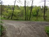 3
3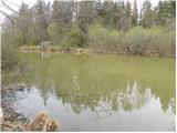 4
4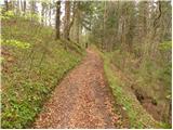 5
5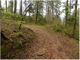 6
6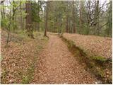 7
7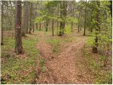 8
8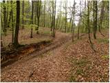 9
9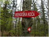 10
10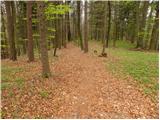 11
11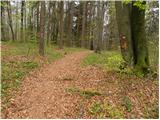 12
12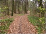 13
13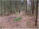 14
14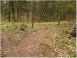 15
15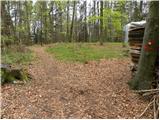 16
16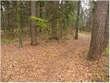 17
17 18
18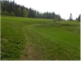 19
19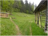 20
20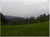 21
21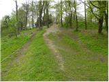 22
22 23
23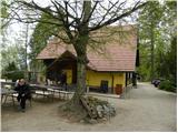 24
24
Discussion about the trip Phliški bajer - Mengeška koča on Gobavica (ridge path)
|
| VanSims13. 05. 2012 |
Phliški (also Koseški) bajer is very popular during the fishing season so there might be a parking problem.
|
|
|
To post a comment you must log in:
If you do not yet have a username, you must first
register.