Pirman - Turjak Castle (longer path)
Starting point: Pirman (360 m)
| Latitude/Longitude: | 45,87380°N 14,60540°E |
| |
Route name: longer path
Walking time: 40 min
Difficulty: easy marked way
Elevation gain: 162 m
Elevation difference along the route: 200 m
Map:
Recommended equipment (summer):
Recommended equipment (winter): crampons
Views: 4.485
 | 1 person like this post |
Access to starting point:
A) First, we drive to Škofljica (from Ljubljana or Grosuplje to here), then we continue driving in the direction of Velike Lašče, Ribnica and Kočevje. When we get to Pijava Gorica, we leave the main road and continue right in the direction of the settlement Želimlje. When we get to the hamlet Podreber, we continue straight (right to Želimlje) and further we drive through the valley of Želimeljščica. A few kilometers ahead, a road branches off to the left, which ascends to Turjak, and we continue through the valley and follow the road to Pirman, by which there is a crossroad, where the road branches off to the right towards Četež, Javor and Kurešček, and straight ahead the road continues towards Prazniki. We park at an appropriate place near the crossroad, by Pirman, where there are hiking signposts but there are no appropriate parking spots.
B) To the starting point, we can also arrive from the direction of Turjak, namely on a narrower road which leads past the castle. Near the castle the road starts descending steeply and brings us lower to a crossroad, where we continue left. From the spot when we arrive in the valley, we drive on the road only about 200 to 300 m and the road brings us to Pirman, where we park near the crossroad.
Route description:
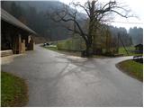
From the signposts at Pirman we continue straight in the direction of the circular path on Turjak and the settlement Prazniki (left - castle Turjak - shorter path, right - Kurešček, Zapotok and Četež) and continue on an ascending asphalt road. We walk for a few minutes on the asphalt road, then on the left side we notice a cart track and next to it a metal pole (in November 2012 on the pole there were no hiking direction signs). Here we leave the road and continue on the mentioned cart track, which soon starts ascending diagonally towards the left. Higher the cart track becomes worse and further it brings us to the bed of the nearby stream Trščica. For a very short time we continue upstream along the stream, then the blazes direct us sharply right onto a marked footpath, which first crosses the slopes towards the right, then turns to the left and in a few minutes ascends to an asphalt road near the cooperative home.
When we step on the road we continue left in the direction of the castle Turjak and start descending through the village. From the path a nice view towards the castle soon opens up, a little lower a path branches off to the right to Bajdinški slapovi. Here we continue straight, then at the next crossroad left towards the castle, which we reach after a shorter gentle ascent.

Photos:
 1
1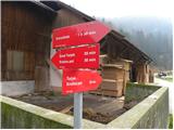 2
2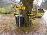 3
3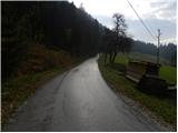 4
4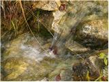 5
5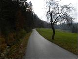 6
6 7
7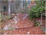 8
8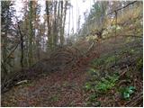 9
9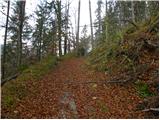 10
10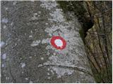 11
11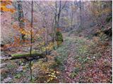 12
12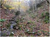 13
13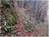 14
14 15
15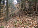 16
16 17
17 18
18 19
19 20
20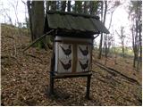 21
21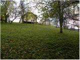 22
22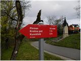 23
23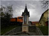 24
24 25
25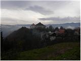 26
26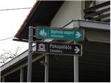 27
27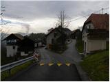 28
28 29
29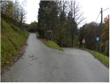 30
30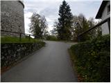 31
31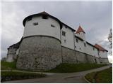 32
32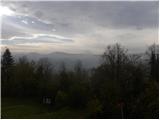 33
33
Discussion about the trip Pirman - Turjak Castle (longer path)
To post a comment you must log in:
If you do not yet have a username, you must first
register.