Planina Kosmačeve Rastke - Cirkovnica
Starting point: Planina Kosmačeve Rastke (1042 m)
| Latitude/Longitude: | 46,41210°N 14,78210°E |
| |
Walking time: 35 min
Difficulty: easy marked way
Elevation gain: 203 m
Elevation difference along the route: 203 m
Map: Kamniške in Savinjske Alpe 1:50.000
Recommended equipment (summer):
Recommended equipment (winter): ice axe, crampons
Views: 6
 | 0 people like this post |
Access to starting point:
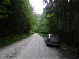
a) From the Ljubljana - Maribor motorway we take the Šentrupert exit, then continue driving towards Mozirje, Ljubno ob Savinji and Logarska dolina. From Ljubno we drive on the main road for approximately 6 km, then in the village of Strmec signs for Raduha and Snežna jama direct us right onto a narrower and initially still asphalted road. At intersections we follow the signs for Snežna jama, and we follow the road, which higher up loses its asphalt surface, to Planina Kosmačeve Rastke (the mountain pasture is not visible from the road), where we see signs for Koča na Loki (from the main road to the starting point is approximately 13 km). We park in a suitable place by the road.
b) From the Ljubljana - Jesenice motorway we take the Vodice exit, then continue driving towards Kamnik. In Kamnik we follow the signs for Gornji Grad and Črnivec pass, but only 1 km before the mentioned pass we turn left in the direction of Kranjski Rak and Podvolovljek. From Kranjski Rak (Volovljek pass) we start descending towards Luče, where we turn right towards Mozirje. From Luče we drive towards Mozirje for approximately 3 km, then in the village of Strmec signs for Raduha and Snežna jama direct us left onto a narrower and initially still asphalted road. At intersections we follow the signs for Snežna jama, and we follow the road, which higher up loses its asphalt surface, to Planina Kosmačeve Rastke (the mountain pasture is not visible from the road), where we see signs for Koča na Loki (from the main road to the starting point is approximately 13 km). We park in a suitable place by the road.
Route description:
At the starting point, signs for Koča na Loki direct us onto a footpath that branches off the road to the southwest. We continue the path through the forest, through which we ascend transversely to the left in a gentle climb, and the path is only in parts somewhat steeper. Later the trail widens somewhat and leads us to a hunting lodge located above Planina Cirkovnica, which is a few 10 altitude meters below the mountain path.
At the hunting lodge a view opens to the south, and we continue slightly to the right and continue the ascent on a forest road that leads us to a junction on a small saddle, where the path that leads past the Radušnik farm joins us.
Here we leave the marked path that leads towards Raduha and continue sharply left onto the elevation with a cross, which is only a few steps above the path.
Along the route: Planina Cirkovnica (1232m)
Photos:
 1
1 2
2 3
3 4
4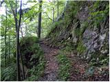 5
5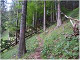 6
6 7
7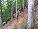 8
8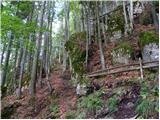 9
9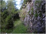 10
10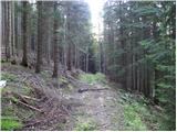 11
11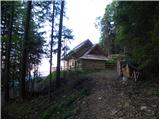 12
12 13
13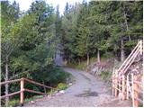 14
14 15
15 16
16 17
17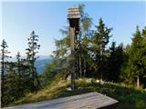 18
18
Discussion about the trip Planina Kosmačeve Rastke - Cirkovnica
To post a comment you must log in:
If you do not yet have a username, you must first
register.