Planina Loka - Lanež (via Durce)
Starting point: Planina Loka (1500 m)
| Latitude/Longitude: | 46,40340°N 14,75730°E |
| |
Route name: via Durce
Walking time: 1 h 25 min
Difficulty: easy marked way
Elevation gain: 425 m
Elevation difference along the route: 440 m
Map: Kamniške in Savinjske Alpe 1:50.000
Recommended equipment (summer):
Recommended equipment (winter): ice axe, crampons
Views: 8.785
 | 2 people like this post |
Access to starting point:
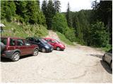
From Mozirje we drive towards Logarska dolina, but only to the village Strmec (village between Ljubno and Luče), where signs for Snežna jama on Raduha point us to the right on a narrower ascending road. We follow the mentioned road, which has a few crossroads, in the direction of Snežna jama and mountain hut Koča na Loki (crossroads are well marked). After 16 km (of which 9 km macadam) of driving from the spot when we left the main road, we come to the starting point, where we park near the smaller crossroad (by the crossroad there are signposts for mountain hut Koča na Loki).
Route description:
By the parking lot we notice hiking signposts for mountain hut Koča na Loki and Raduha, which point us on a rough forest road which ascends through a belt of forest. Already after a few dozen steps of walking, we step out of the forest on the bottom part of the mountain pasture Loka. We continue the ascent on a relatively steep road, on which in a few minutes we ascend to the hut Koča na Loki.
From the mountain hut, we continue slightly right on a marked path in the direction of saddle Durce (slightly left Raduha, right Smrekovec and Travnik). Further, we ascend gently at first on the right side of the gully (on the left side of the gully runs the path to Raduha) on the path, which gradually starts to ascend more steeply. After approximately 10 minutes of walking from the mountain hut, the path brings us to a less noticeable junction, where the eastern path to Lanež branches off to the right, and we continue straight in the direction of Durce, on at first a somewhat less visible path. A little further, the path turns slightly to the left, crosses a grazing fence and then passes into a belt of dwarf pines, through which we ascend in a small valley. The path ahead bypasses a small spring (in dry days it dries up) and a little above it steeply ascends on a short unvegetated slope. In the middle of the mentioned slope, the path turns to the left, and after a few minutes of diagonal ascent through dwarf pines, brings us to a marked junction on the saddle Durce.
On Durce we continue right in the direction of Lanež (left Raduha, straight downwards Koča na Grohatu mountain hut) on a gentle path, which continues towards the northeast. After a shorter gentle ascent the path descends a little, then it starts ascending towards the summit of Lanež, which we reach after a few minutes of additional walking.
Starting point - Koča na Loki 0:15, Koča na Loki - Lanež 1:10.

Photos:
 1
1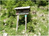 2
2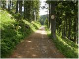 3
3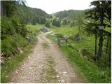 4
4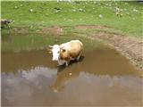 5
5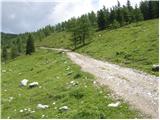 6
6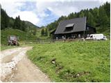 7
7 8
8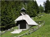 9
9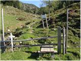 10
10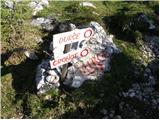 11
11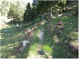 12
12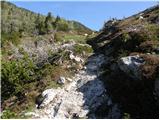 13
13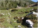 14
14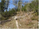 15
15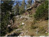 16
16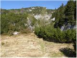 17
17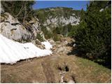 18
18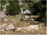 19
19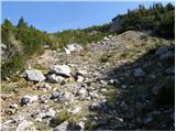 20
20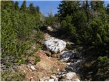 21
21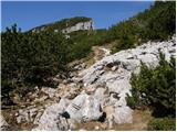 22
22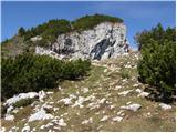 23
23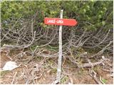 24
24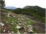 25
25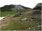 26
26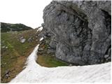 27
27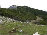 28
28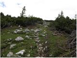 29
29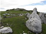 30
30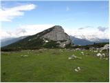 31
31 32
32
Discussion about the trip Planina Loka - Lanež (via Durce)
|
| artur2. 06. 2010 |
We went on the same path with the family last year. Really nice.
|
|
|
|
| kkac29. 10. 2019 |
The place name sign is no longer Struge, but Strmec.
|
|
|
|
| Tadej30. 10. 2019 |
Thanks for the notice, I have corrected it.
|
|
|
|
| biba30. 10. 2019 |
On Saturday we also drove through the village of Struge into the Logar Valley.
|
|
|
|
| Tadej30. 10. 2019 |
Thanks again for the notice, I have now corrected it back to Struge.
I will check if there is any change.
|
|
|
|
| zokipoki30. 10. 2019 |
Sorry if I'm wrong, but in the place where you turn towards Snežna jama, etc., now there are signs for Strmec  it's been like that for at least a month. I drove past and noticed the change. The place where it used to be Struge, they assigned two names, Raduha and Strmec. If you drive towards Luče from the direction of Mozirje, first Strmec and right after Strmec is Raduha. Two colleagues live there and we talked about it today. One is from Strmec, the other from Raduha it's been like that for at least a month. I drove past and noticed the change. The place where it used to be Struge, they assigned two names, Raduha and Strmec. If you drive towards Luče from the direction of Mozirje, first Strmec and right after Strmec is Raduha. Two colleagues live there and we talked about it today. One is from Strmec, the other from Raduha
|
|
|
|
| biba30. 10. 2019 |
Thanks for the information. Apparently the eyes saw what they were used to seeing. Sorry.
|
|
|
To post a comment you must log in:
If you do not yet have a username, you must first
register.