Planina Loka - Mala Raduha
Starting point: Planina Loka (1435 m)
| Latitude/Longitude: | 46,40340°N 14,75730°E |
| |
Walking time: 1 h 40 min
Difficulty: easy pathless terrain
Elevation gain: 594 m
Elevation difference along the route: 594 m
Map: Kamniške in Savinjske Alpe 1:50.000
Recommended equipment (summer):
Recommended equipment (winter): ice axe, crampons
Views: 18.217
 | 1 person like this post |
Access to starting point:
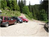
From Mozirje we drive towards Logarska dolina, but only to the village Strmec (village between Ljubno and Luče), where signs for Snežna jama on Raduha point us to the right on a narrower ascending road. The mentioned road, which has a few crossroads, we follow in the direction of Snežna jama and mountain hut Koča na Loki (crossroads are well marked). After 16 km (of which 9 km macadam) of driving from the spot where we left the main road, we arrive at the starting point, where we park near a smaller crossroads (by the crossroads there are signposts for mountain hut Koča na Loki).
Route description:
By the parking lot we notice hiking signposts for mountain hut Koča na Loki and Raduha, which point us on a rough forest road which ascends through a strip of forest. Already after a few tens of steps of walking we step out of the forest onto the lower part of mountain pasture Loka. We continue the ascent on a relatively steep road, along which in a few minutes we ascend to the hut Koča na Loki.
From the hut we continue slightly left (direction Raduha) on the path which runs along the left side of an indistinct gully. The path, which at first only gently ascends, soon turns left, where for a short time it steeply ascends through a strip of dense forest. The steepness then eases, and the forest is gradually replaced by dwarf pines and raspberry bushes. A moderately steep path, which ascends on the southeastern slopes of Raduha, brings us higher to a marked junction, where we continue left (right Durce).
Already after a few steps from the junction, on the right side of the marked path we notice a nice passage among dwarf pines. We head to the mentioned passage (bare indistinct little valley), along which we ascend straight upwards. Higher the passage is blocked by dwarf pines, and we look for a partly overgrown footpath which continues right (direction east). The mentioned footpath eases the passage through a strip of dense dwarf pines, and it brings us below the summit of Mala Raduha. Again we look for a nice passage among dwarf pines and after a few steps of further walking we step onto the summit of Mala Raduha.
In fog the orientation in the upper part is difficult.

Photos:
 1
1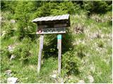 2
2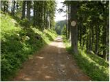 3
3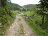 4
4 5
5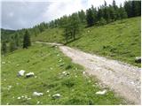 6
6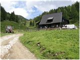 7
7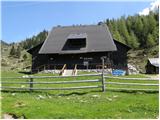 8
8 9
9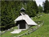 10
10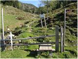 11
11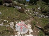 12
12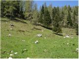 13
13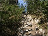 14
14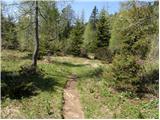 15
15 16
16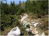 17
17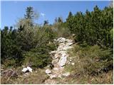 18
18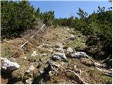 19
19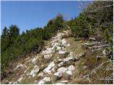 20
20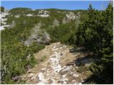 21
21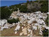 22
22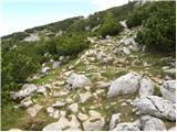 23
23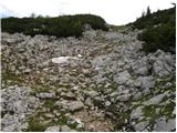 24
24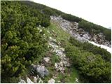 25
25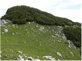 26
26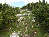 27
27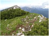 28
28
Discussion about the trip Planina Loka - Mala Raduha
|
| kkac29. 10. 2019 |
The place name sign is no longer Struge, but Strmec.
|
|
|
To post a comment you must log in:
If you do not yet have a username, you must first
register.