Starting point: Planina Vodol (1324 m)
| Latitude/Longitude: | 46,42340°N 14,77690°E |
| |
Walking time: 3 h 15 min
Difficulty: easy marked way
Elevation gain: 360 m
Elevation difference along the route: 550 m
Map: Kamniške in Savinjske Alpe 1:50.000
Recommended equipment (summer):
Recommended equipment (winter): ice axe, crampons
Views: 7.424
 | 1 person like this post |
Access to starting point:
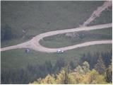
A) From the Ljubljana–Maribor highway, take the Šentrupert exit, then continue driving towards Mozirje, Ljubno ob Savinji and Logarska dolina. From Ljubno drive on the main road for approximately 6 km, then in the place Strmec, signs for Raduha and Snežna jama direct us right onto a narrower and at first still asphalted road. At the crossroads, follow the signs for Snežna jama, but we follow the road which higher up loses its asphalt covering to the mountain pasture Vodol. We park at the crossroads, where in the middle of the left bend a worse road branches off to the right, which leads to the upper part of the mountain pasture Vodol.
B) From the Ljubljana–Jesenice highway, take the Vodice exit, then continue driving towards Kamnik. In Kamnik follow the signs for Gornji Grad and mountain pass Črnivec, but only 1 km before the mentioned mountain pass turn left towards Kranjski Rak and Podvolovljek. From Kranjski Rak (mountain pass Volovljek) start descending towards Luče, where turn right towards Mozirje. From Luče drive towards Mozirje approximately 3 km, then in the place Strmec, signs for Raduha and Snežna jama direct us left onto a narrower and at first still asphalted road. At the crossroads, follow the signs for Snežna jama, but we follow the road which higher up loses its asphalt covering to the mountain pasture Vodol. We park at the crossroads, where in the middle of the left bend a worse road branches off to the right, which leads to the upper part of the mountain pasture Vodol.
Route description:
From the bend where we parked, head onto the side road, along which we quickly ascend to the upper part of the mountain pasture Vodol. Here at a smaller crossroads continue right and walk to the nearby mountain hut, which the marked path bypasses on the left side. Further, ascend transversely above the mountain pasture, then the path takes us into the forest, through which we ascend more steeply for a short time. The path quickly flattens and brings us to the saddle Bela peč, from which we descend to the nearby Knezova planina, where there is a marked junction.
From the junction at Knezova planina continue straight in the direction of Koča na Travniku, Komna and Dom na Smrekovcu (slightly left Črna na Koroškem) along the path that starts to ascend moderately through initially sparse forest. The occasionally less trodden path continues to ascend moderately for some time, then brings us to a completely overgrown slope, from which a nice view opens onto Peca and Golica. Above the overgrown but panoramic slope, the path returns to the forest and semicircularly bypasses Presečnikov vrh. Further, we temporarily return to the ridge, where the path, surrounded by numerous blueberry bushes, gradually starts to descend. Further, the easy-to-follow but in morning and forenoon often quite dewy path brings us after some time to a small wooden fence, behind which we step onto a relatively new tractor track. Continue briefly on the mentioned track, then, when it turns somewhat downward, continue straight on the pleasant forest path, which behind the grazing fence widens into an old cart track. The path further leads past a small stream (by the path there is also a trough with water), behind which we soon step out of the forest onto the extensive grazing areas of the mountain pasture Široka trata.
When we step out of the forest continue straight (left Veliki Travnik, right Koča na Travniku 100 meters) and on the other side of the pasture re-enter the forest. A slight descent follows, then the path joins a tractor track, along which we continue for some time. After a few minutes of walking on the mentioned track, it ends, and we continue the path along the easy-to-follow forest path, which soon crosses a relatively new wider track. Just a few steps further, we arrive at a marked junction, where we cross the marked path Ljubenske Rastke - Travnik.
Continue straight and walk for some time without major elevation changes, then the path starts to descend more noticeably and brings us to the next cart track, which we follow to the right. Along the cart track we walk approximately 10 minutes, then at the saddle Hlipovec we join the forest road, along which we walk to the other side of the extensive saddle.
On the other side of the saddle leave the road and continue the ascent along a wide cart track in the direction of "Kamna". After 5 minutes of moderate ascent along the cart track, the marks direct us left onto a nice forest path, which first ascends only moderately, then steeply through the forest. Higher up the path slightly descends for a short time, then ascends even more steeply through dense forest. When we step out of the forest, the trail suddenly flattens and brings us to a small chapel, where the path from Ljubenske Rastke joins (in the chapel there is a visitors' book).
Here continue left along the moderately steep grassy slope (straight Smrekovec) and after a good 5 minutes of further walking reach the summit of Komna.

Photos:
 1
1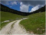 2
2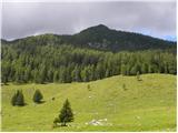 3
3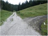 4
4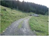 5
5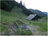 6
6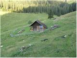 7
7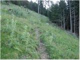 8
8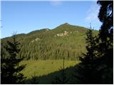 9
9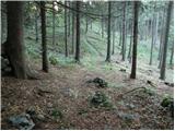 10
10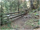 11
11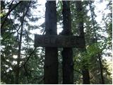 12
12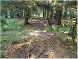 13
13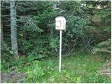 14
14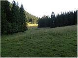 15
15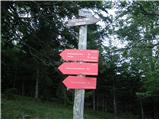 16
16 17
17 18
18 19
19 20
20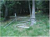 21
21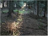 22
22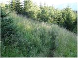 23
23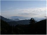 24
24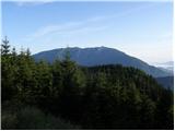 25
25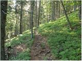 26
26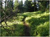 27
27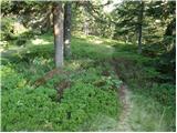 28
28 29
29 30
30 31
31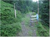 32
32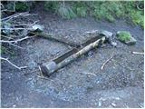 33
33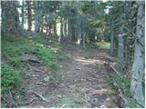 34
34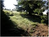 35
35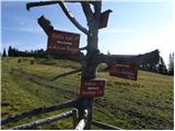 36
36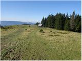 37
37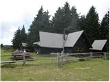 38
38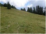 39
39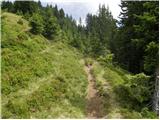 40
40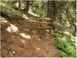 41
41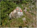 42
42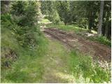 43
43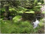 44
44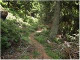 45
45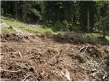 46
46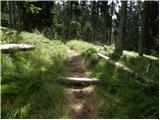 47
47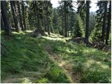 48
48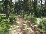 49
49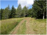 50
50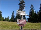 51
51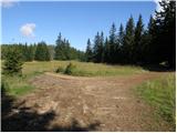 52
52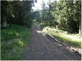 53
53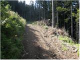 54
54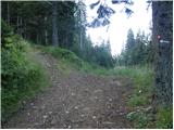 55
55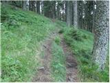 56
56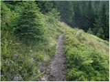 57
57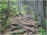 58
58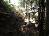 59
59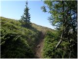 60
60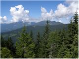 61
61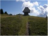 62
62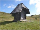 63
63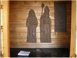 64
64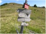 65
65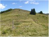 66
66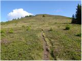 67
67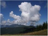 68
68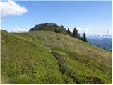 69
69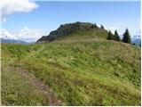 70
70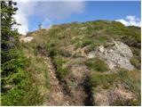 71
71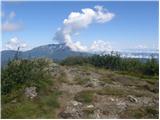 72
72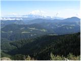 73
73
Discussion about the trip Planina Vodol - Komen
|
| frover27. 09. 2021 16:14:22 |
Nice tidy path, well marked. Thanks to the path markers 
|
|
|
|
| Janezs29. 09. 2021 07:30:58 |
The pictures are quite old now, some new serpentines have already been made, and the windstorm has also changed the landscape. The path route is still the same.
|
|
|
|
| bbugari129. 09. 2021 09:42:11 |
A football pitch has also been made across the path on pl. Vodol... 
|
|
|
|
| Janezs30. 09. 2021 18:33:13 |
Winter is coming again, but the chapel has no protective doors.
|
|
|
To post a comment you must log in:
If you do not yet have a username, you must first
register.