Platak - Snježnik (via grlo)
Starting point: Platak (1111 m)
| Latitude/Longitude: | 45,42510°N 14,56530°E |
| |
Route name: via grlo
Walking time: 1 h 30 min
Difficulty: easy marked way
Elevation gain: 395 m
Elevation difference along the route: 450 m
Map:
Recommended equipment (summer):
Recommended equipment (winter): ice axe, crampons
Views: 9.698
 | 1 person like this post |
Access to starting point:
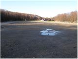
From the highway Zagreb - Reka we take the exit Kikovica, which leads us to the old road Zagreb - Reka. We follow the old road towards Zagreb, but only to the point where a road branches off to the left, ascending towards the ski slope Platak. We follow this road to a large parking lot, where we park.
Route description:
At the end of the large parking lot (on the right side in the direction of ascent) we will notice signposts for Snježnik, which direct us onto a forest road that gently ascends past the ski track. The road then enters the forest, where it begins to moderately ascend. After approximately 15 minutes of walking, the blazes direct us left upwards onto a rougher cart track, which quickly leads us to the next road. We continue left (poorly marked) along the road, which, after a few more minutes, brings us to a trail junction, where we proceed left in the direction of Snježnik "kroz Grlo". The road then turns into a cart track, which, after a short descent, begins to moderately ascend. The path ahead leads us into Risnjak National Park, where the cart track transforms into an increasingly steep footpath. The path, initially ascending through the forest, soon brings us to the upper unvegetated slopes of Snježnik, from which an increasingly beautiful view opens up. The path then veers slightly to the right and, with moderate steepness, leads us to the cottage on Snježnik. From the cottage to the summit, there is only a three-minute steep ascent.

Photos:
 1
1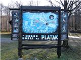 2
2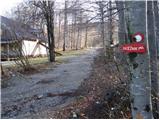 3
3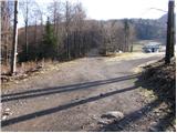 4
4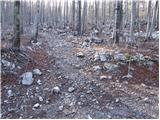 5
5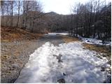 6
6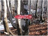 7
7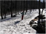 8
8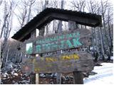 9
9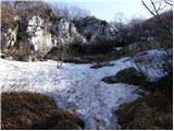 10
10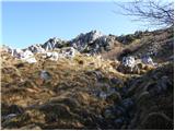 11
11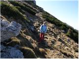 12
12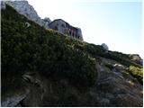 13
13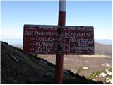 14
14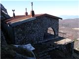 15
15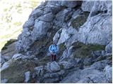 16
16 17
17
Discussion about the trip Platak - Snježnik (via grlo)
To post a comment you must log in:
If you do not yet have a username, you must first
register.