Plattner - Gartnerkofel (via Watschiger Alm)
Starting point: Plattner (1601 m)
| Latitude/Longitude: | 46,56455°N 13,28515°E |
| |
Route name: via Watschiger Alm
Walking time: 2 h
Difficulty: easy marked way
Elevation gain: 594 m
Elevation difference along the route: 600 m
Map: Tabacco 18
Recommended equipment (summer):
Recommended equipment (winter): ice axe, crampons
Views: 12.510
 | 2 people like this post |
Access to starting point:
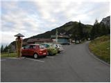
Through the border crossing in Rateče we drive through Trbiž / Tarvisio, Ukve / Ugovizza to the village Tablja / Pontebba, where we turn right following the signs »Passo di Pramollo / Nassfeld« (Slovenian Mokrine). At the pass we drive past the lake on the Austrian side, where at the crossroads we turn right onto an asphalt road which brings us to the parking lot in front of the Plattner mountain hut.
Route description:
From the parking lot, we continue on the road which already after a few meters brings us to the signposts. We continue on the road towards the mountain hut Watschiger, while to the right runs a direct somewhat shorter path to Gartnerkofel. The gently sloping road then brings us to the mountain hut in approximately 15 minutes of walking. At the mountain hut, where the road ends, we head onto a footpath (path no. 410) following the signs Gartnerkofel. Then the path leads through meadows and in 15 minutes again brings us to a crossroads. We go right (direction Gartnerkofel) where the path for a short time runs through the forest and then turns slightly to the left and ascends grassy slopes towards the saddle Kuhweger Torl (1912 m). A little before the saddle, we come to a crossroads where we go right on path 412 following the signs Gartnerkofel. Left over the saddle runs an unsecured climbing path to the summit. We continue over the scree below Gartnerkofel from where we can nicely see the window in Gartnerkofel. Soon the path joins the aforementioned direct path to Gartnerkofel. At the crossroads, we go left and the path starts ascending on the eastern side of Gartnerkofel and in 15 minutes brings us to a smaller saddle. On the saddle from which we already see the cross on the summit we turn left and ascend a slope partly covered with grass. When the climbing path also joins from the left we have to the top only a few meters of quite steep ascent.

Along the route: Watschiger Alm (1625m)
Photos:
 1
1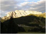 2
2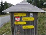 3
3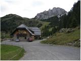 4
4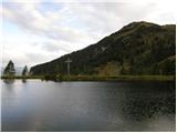 5
5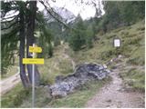 6
6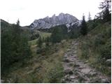 7
7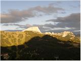 8
8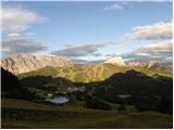 9
9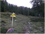 10
10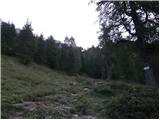 11
11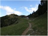 12
12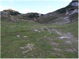 13
13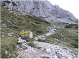 14
14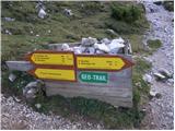 15
15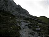 16
16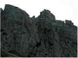 17
17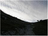 18
18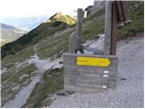 19
19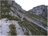 20
20 21
21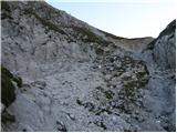 22
22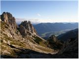 23
23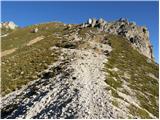 24
24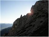 25
25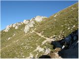 26
26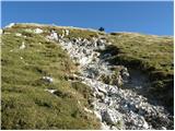 27
27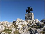 28
28 29
29
Discussion about the trip Plattner - Gartnerkofel (via Watschiger Alm)
To post a comment you must log in:
If you do not yet have a username, you must first
register.