Plockenpass - Pic Chiadin
Starting point: Plockenpass (1360 m)
| Latitude/Longitude: | 46,60270°N 12,94470°E |
| |
Walking time: 3 h
Difficulty: partly demanding marked way, easy pathless terrain
Elevation gain: 942 m
Elevation difference along the route: 1000 m
Map: Tabacco 09 1:25.000
Recommended equipment (summer):
Recommended equipment (winter): ice axe, crampons
Views: 1.170
 | 2 people like this post |
Access to starting point:
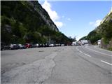
From Trbiž / Tarvisio we take the highway towards Videm / Udine. We leave the highway at the exit for Tolmezzo. Further, we follow the signs for Austria and the pass Passo di Croce Carnico / Plöckenpass. Still on the Italian side of the pass, we park on a large parking lot.
Route description:
At the parking lot, we head onto a narrow road following the signs for Rifuggio Marinelli (path 146). Already after a few dozen meters, we reach a junction where we turn right onto the military mule track, along which we then ascend through sparse forest and meadows below the steep slopes of the mountain Creta di Collinetta (2238m). The military mule track turns into a path and soon we reach another junction, where the path to the aforementioned mountain branches off to the right.
We continue on the left path, which in a gentle ascent crosses grassy slopes and brings us to a smaller plain. From the left, an unmarked path from the mountain pasture Collinetta di Sotto joins here, just a little after that we reach a marked junction where the path to Cresta Verde (2150m) branches off to the right. We continue on path 146 towards the Marinelli hut, which is less than two hours away. Here the path becomes somewhat steeper and ascends through slightly overgrown shrubbery and high grass. When we exit the shrubbery, the path becomes more level and to the right the path to Creta di Collina (2659m) branches off.
Here, while crossing fairly steep slopes, we begin to descend and some fixed protections assist us. There follows a somewhat more demanding descent through a natural window and crossing steep slopes overgrown with nettles, which brings us to a junction.
The right path leads to Cima di Mezzo (2713m), while we continue on the left path towards the hut. The path begins to ascend again across meadows and just before the hut we join a cart track (path 148). Here along the path we will also notice the lake Laghetto di Plotta. The cart track soon ends and only a few minutes of ascent to the hut remain.
At the hut, we head northwest following the signs for Monte Coglians and begin ascending slightly steeper grassy slopes. The path quickly brings us to an unmarked junction, where to the left the Sentiero Spinotti path branches off towards the Lambertenghi – Romanin hut. Our path turns right here and ascends to the grassy ridge. Further on, the path runs slightly left of the ridge again and rejoins it below the summit of Pic Chiadin. The summit is located just a few meters from the path.

Photos:
 1
1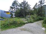 2
2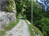 3
3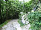 4
4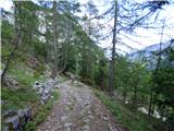 5
5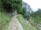 6
6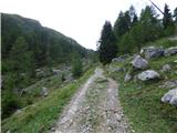 7
7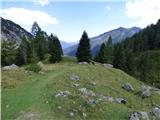 8
8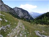 9
9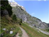 10
10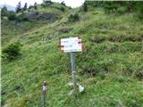 11
11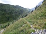 12
12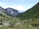 13
13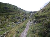 14
14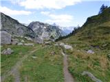 15
15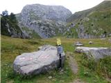 16
16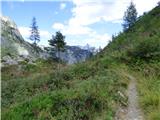 17
17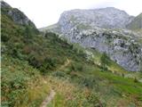 18
18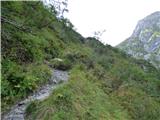 19
19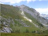 20
20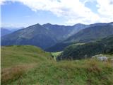 21
21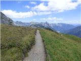 22
22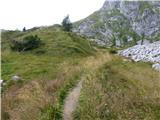 23
23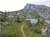 24
24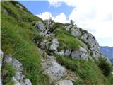 25
25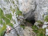 26
26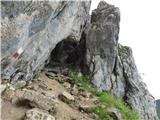 27
27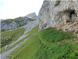 28
28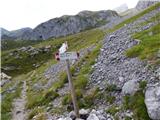 29
29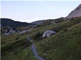 30
30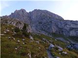 31
31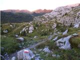 32
32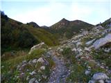 33
33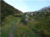 34
34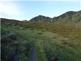 35
35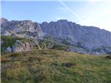 36
36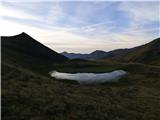 37
37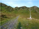 38
38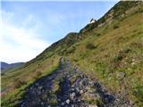 39
39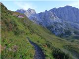 40
40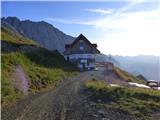 41
41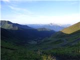 42
42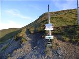 43
43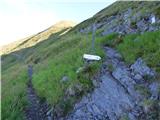 44
44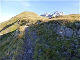 45
45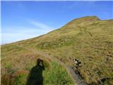 46
46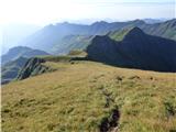 47
47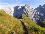 48
48 49
49 50
50 51
51 52
52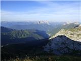 53
53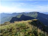 54
54
Discussion about the trip Plockenpass - Pic Chiadin
To post a comment you must log in:
If you do not yet have a username, you must first
register.