Starting point: Podevčevo (197 m)
Walking time: 1 h 15 min
Difficulty: easy marked way
Elevation gain: 365 m
Elevation difference along the route: 365 m
Map:
Recommended equipment (summer):
Recommended equipment (winter):
Views: 2.670
 | 1 person like this post |
Access to starting point:
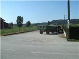
From Varaždin we drive on the old road towards Zagreb. In the village of Turčin we will just before the ascent see a signpost for Tužno-Ivanec. Here we go right and drive through the villages Tomaševec (railway!), Doljan, Žigrovec and arrive at the village Sveti Ilija. Here we will turn left uphill in the direction of Beletinec (Attention! Straight ahead is the settlement Beretinec). From the slope behind the village Sveti Ilija we descend and continue straight until we arrive at the village Podevčevo. The orientation from here onwards is easy, because Čevo is in front of us. In the village Podevčevo we park on the parking lot in front of the inn Brk or by the football field at the beginning of the village.
Route description:
From the parking lot we continue ahead along the main road, which we leave at the sharp left turn (blazes on two pines), from where we continue towards the hamlet Novoselci. Here the narrower road turns right, then it seems that the path ends, but this is not the case, as the blazes direct us left onto the yard of an abandoned farm, where the path leads past the garden and along the fence. We soon arrive at a junction, where we continue straight upwards (left steep path past Malo Čevo).
The path ahead brings us to an interesting but unfortunately abandoned wine cellar and a little further into a dense forest, where the path flattens. We continue on a cart track, which higher up changes into a footpath, which leads us across a few clearings. A little further we arrive at a rock and a smaller bench beside it. Behind the bench, where the path from the village Završje joins almost unnoticeably, the path begins to ascend more steeply. Higher up the path becomes even steeper, then flattens after a kind of U-turn. On this section the unmarked Tafrina steza branches off to the left, while we continue straight on the level path, arriving at a junction where the path from the village Bela and the path from Grebengrad join from the south. At the junction we go sharply left and ascend the steep path, which soon splits again. Again we go left (straight shortcut) and ascend in a few hairpin turns over the steep and overgrown section. When we come near the bivouac where we can shelter in case of bad weather, the path splits again.
Near the bivouac there is a metal cross, bench and viewpoint Balkon, from where a nice view opens up.
From the bivouac we continue ahead and in the continuation walk along the ridge of Čevo. In a few minutes of level walking we arrive at the top of Čevo, which is located in the forest, so there is no nice view.
The most suitable descent is along the same path.

Photos:
 1
1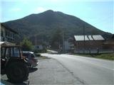 2
2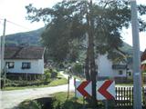 3
3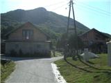 4
4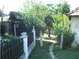 5
5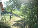 6
6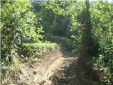 7
7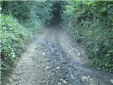 8
8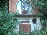 9
9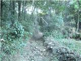 10
10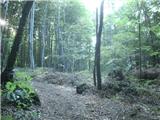 11
11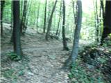 12
12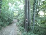 13
13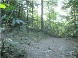 14
14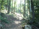 15
15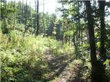 16
16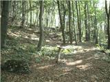 17
17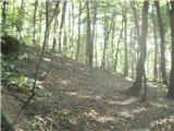 18
18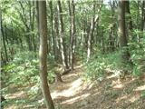 19
19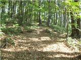 20
20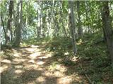 21
21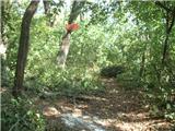 22
22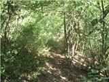 23
23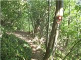 24
24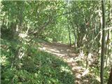 25
25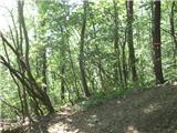 26
26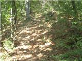 27
27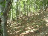 28
28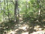 29
29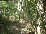 30
30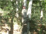 31
31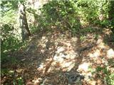 32
32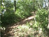 33
33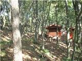 34
34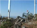 35
35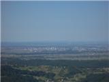 36
36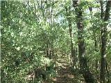 37
37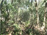 38
38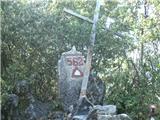 39
39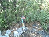 40
40
Discussion about the trip Podevčevo - Čevo
|
| Marx18. 03. 2016 |
The start of the path is now somewhat changed. From the junction at picture 3 we no longer go straight but turn right to the west. We rejoin the described trail at picture 7. Everything is well marked and you can't mess it up.
Despite the change, the walking time is unchanged.
|
|
|
To post a comment you must log in:
If you do not yet have a username, you must first
register.