Starting point: Podgradje (183 m)
Walking time: 1 h
Difficulty: easy marked way
Elevation gain: 155 m
Elevation difference along the route: 155 m
Map:
Recommended equipment (summer):
Recommended equipment (winter):
Views: 7.400
 | 3 people like this post |
Access to starting point:
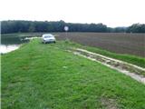
We drive to the ponds in Podgradje (near Ljutomer) and park at an appropriate place by the water.
Route description:
We start on the path by the first pond. After five minutes of walking, we come to the second lake, then the path brings us to an asphalt road, where we go right. For some time we walk on the asphalt road, where after a good kilometer of walking we come to the wine barrel (vino Kavčič). There we go right on a slightly ascending road, where the path brings us to the vineyard terraces. After ten minutes of walking on the terraces, we join the cart track which ascends to the main road, there we continue left and slowly ascend on the asphalt. After 15 minutes we come to the lookout tower, which is a few steps on the left side; from there is a nice view of the surrounding vineyards and in the distance also Pohorje. We are still 5 minutes from the church in Jeruzalem and the box with a stamp.
Along the route: Razgledni stolp -Jeruzalem (338m)
Photos:
 1
1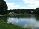 2
2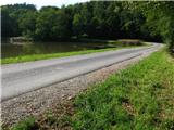 3
3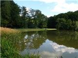 4
4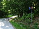 5
5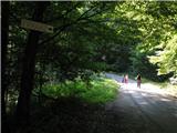 6
6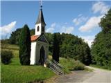 7
7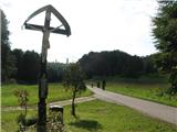 8
8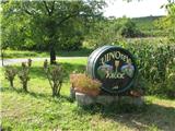 9
9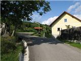 10
10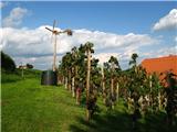 11
11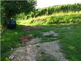 12
12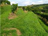 13
13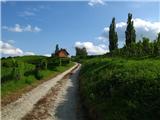 14
14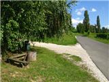 15
15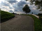 16
16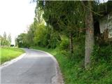 17
17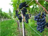 18
18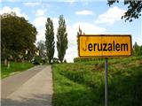 19
19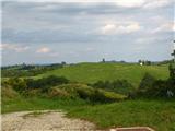 20
20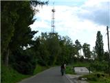 21
21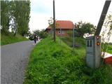 22
22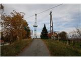 23
23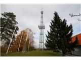 24
24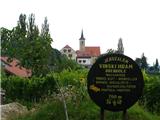 25
25 26
26
Discussion about the trip Podgradje - Jeruzalem
|
| Planinček3. 11. 2010 |
18th picture. I would just tear it off
|
|
|
|
| Borut12. 01. 2015 |
If you want to avoid asphalt, you can walk the first kilometer along the ponds. Bypass the second pond on the left and continue on the footpath to the seventh pond. Before the last (eighth) pond you reach the asphalt road, turn right and soon arrive at the intersection. Turn left towards Kaučič vineyard and continue on the described path. The viewpoint tower is closed to visitors. At Jeruzalem castle try prleška gibanica. When TIC is closed, find the logbook with stamp also at the nearby parking lot.
|
|
|
To post a comment you must log in:
If you do not yet have a username, you must first
register.