Podkočna - Jamnikov spodmol
Starting point: Podkočna (550 m)
| Latitude/Longitude: | 46,42340°N 14,07990°E |
| |
Walking time: 35 min
Difficulty: easy unmarked way
Elevation gain: 170 m
Elevation difference along the route: 185 m
Map: Zemljevid: TNP 1:50.000
Recommended equipment (summer): lamp
Recommended equipment (winter): ice axe, crampons, lamp
Views: 1.140
 | 2 people like this post |
Access to starting point:
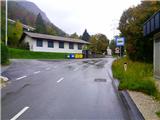
From the Ljubljana - Jesenice highway we take the Lipce exit, where we turn right towards Jesenice. Immediately after the settlement of Lipce on our right, the road descends and after less than a kilometer brings us to the intersection at the bridge over the river Sava. Here we continue driving slightly left or straight in the direction of Podmežakle. After a short drive uphill, below its top, on the left side of the road we notice a bus stop and a larger turnaround. Here we park appropriately.
Route description:
From the starting point, we return along the road to the intersection at the bridge over the river Sava, and continue straight to the first house on the right, which is located below the hillside. A few meters further, where we encounter a well, we step onto the asphalt path that leads behind the house uphill to the right. Already after a few steps, the path turns sharply left and loses its asphalt surface. We continue uphill past the last house on the right, and soon after on the same side we turn into a small tunnel under the railway line. The path on the other side of the tunnel turns at right angles right and leads us uphill towards the west for a short time, after which, upon the joining of the path from the right, it turns sharply left under the motorway viaduct.
We continue on the other side of the viaduct towards the east, along the uphill path, from which we have a view across the motorway towards Koroška Bela. The path quickly brings us near a garden fence and a house on the slope on the right. Here at the end of the fence, we first turn right and after a few steps also left onto a trail that ascends over grass to a macadam road. When we step onto the road, already after a few meters on the right we notice a path into the forest, onto which we head and continue towards the top. In the forest, the path soon turns sharply right and brings us to the power line, where we leave the wider path and head left into the steeper uphill on a trail that ascends along the power line. After a few minutes of ascent, the path turns left and brings us over a small saddle to the asphalt road Jesenice - Bled (also the start of the marked path to Mežakla).
We carefully cross the road and continue along it for some 10 m towards the settlement Kočna. At the smaller parking area, located about 50 m before the place-name sign, we turn left onto the path leading into the forest. This already turns left after a few steps, but we leave it just a few meters later and turn slightly (not at right angles!) right. Here, about 30 m ahead we can notice a passage from the denser part of the forest towards the hillside, where we encounter a trail. This quickly brings us into sparser forest below the steep western slope of the hill Žerjavec (Kavče).
When we look straight towards the slope here, with a little attention about 50 m higher we can notice a darker opening at the foot of the rocky wall - Jamnikov spodmol.
During the pathless ascent over the grassy, forested slope towards the goal, we will also cross a barely visible trail, and soon reach Jamnikov spodmol at 720 m elevation.

Photos:
 1
1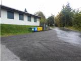 2
2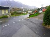 3
3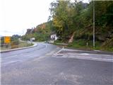 4
4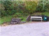 5
5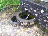 6
6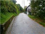 7
7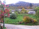 8
8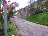 9
9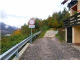 10
10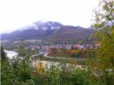 11
11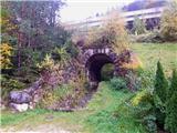 12
12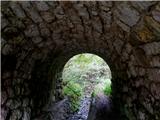 13
13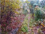 14
14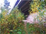 15
15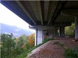 16
16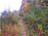 17
17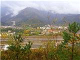 18
18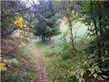 19
19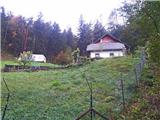 20
20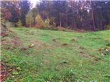 21
21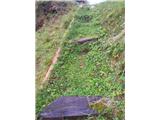 22
22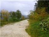 23
23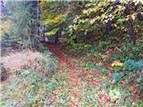 24
24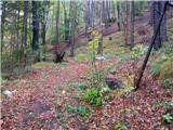 25
25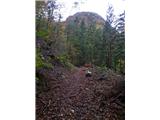 26
26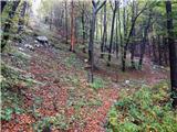 27
27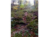 28
28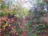 29
29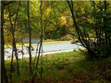 30
30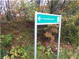 31
31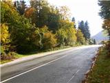 32
32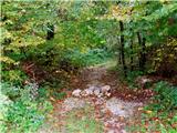 33
33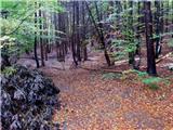 34
34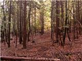 35
35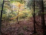 36
36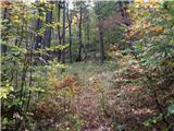 37
37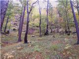 38
38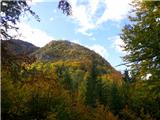 39
39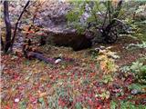 40
40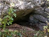 41
41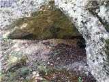 42
42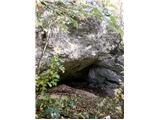 43
43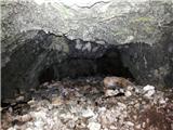 44
44
Discussion about the trip Podkočna - Jamnikov spodmol
To post a comment you must log in:
If you do not yet have a username, you must first
register.