Podkraj - Pirnatova koča na Javorniku
Starting point: Podkraj (798 m)
| Latitude/Longitude: | 45,86390°N 14,06300°E |
| |
Walking time: 2 h 20 min
Difficulty: easy marked way
Elevation gain: 358 m
Elevation difference along the route: 470 m
Map: Nanos 1:50.000
Recommended equipment (summer):
Recommended equipment (winter):
Views: 12.115
 | 1 person like this post |
Access to starting point:
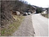
From Logatec we drive towards Idrija. Just a little after the village of Kalce we will notice a road that turns left in the direction of the villages Podkraj and Col. We turn onto this quite winding road and follow it to the village Podkraj. We park on a smaller parking lot by the road right next to the sign for the end of the village Podkraj (there are also hiking signposts by the parking lot).
From Primorska we first drive to Col, and then we continue driving in the direction of the village Podkraj. When the road brings us to the beginning of the village we don't continue right into the village, but we continue on the left upper road which bypasses the center of the village. Near the sign for the beginning of Podkraj we park on a smaller parking lot by the road.
Route description:
From the starting point, we head onto an ascending cart track in the direction of Sveti Duh and Javornik. The cart track turns right after just a few steps and then ascends diagonally across a grassy slope. Higher up, we pass through a short stretch of forest, after which the path brings us to a marked junction, where we continue right in the direction of Javornik (left to Sv. Duh and Križna gora). The path ahead ascends gently along the edge of the forest, then brings us to Izakova koča (smaller emergency bivouac), which is located somewhat to the left of the path.
A little above the bivouac we come to a junction of several cart tracks. We continue straight ahead (direction Javornik) on a partly rocky cart track and follow it for a few minutes, then at a smaller junction (marked) we continue slightly right on a grassy cart track, which leads us past an old military bunker. We bypass the bunker on the left side, then the path brings us to the edge of a pasture fence. We continue along the pasture fence for some time, then the path makes an orientation loop. The path turns right downhill, essentially in the direction from which we came, then after a short descent left into the forest. Further on we enter dense forest and ascend moderately for some time on a quite overgrown cart track. A short descent follows and the path brings us to a macadam road, which we follow to the left. The road soon brings us out of the forest onto expansive grassy slopes, in the midst of which we reach a marked junction.
We continue right in the direction of Javornik, on a footpath that first ascends gently past a smaller sign on a tree, then begins to ascend more steeply across relatively scenic grassy slopes. Higher up, the path levels out and brings us to a larger plain south of Streliški vrh. We continue slightly left on the marked footpath, which descends to a smaller torrent, after which we come upon a pleasant bench. This is followed by traversing the eastern slopes of the aforementioned peak, then the path brings us to a smaller saddle, where on the right side we notice a larger hunting stand.
Here at the saddle is a marked junction, where the path to Streliški vrh branches off to the left, while we continue straight downhill in the direction of Javornik. The path immediately enters dense forest, and on the descent we carefully follow the blazes so as not to miss the right path at the numerous junctions. Lower down, the path levels out and after a few minutes of further walking brings us to a macadam road, which we follow right uphill. After a short ascent we reach an intersection of several roads, where we continue left toward Javornik. The road continues ascending through the forest for some time, then levels out and brings us to a scenic slope. The path then crosses a short stretch of forest and brings us to a smaller intersection, where the road to Smučarska koča Javornik branches off to the right. Here we continue on the left lower road, along which we quickly reach an abandoned house. Just before the house, the hiking signs direct us right onto a footpath, along which we ascend to Pirnatova koča na Javorniku in a few minutes.

Photos:
 1
1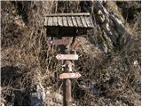 2
2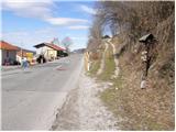 3
3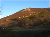 4
4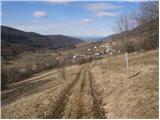 5
5 6
6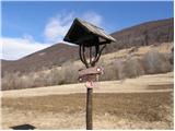 7
7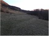 8
8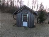 9
9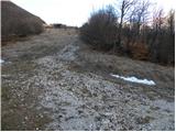 10
10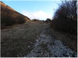 11
11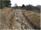 12
12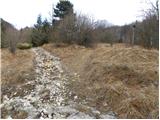 13
13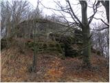 14
14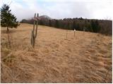 15
15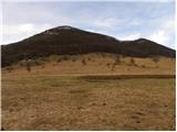 16
16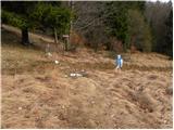 17
17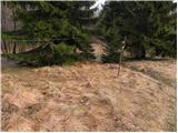 18
18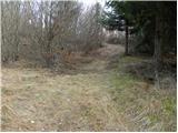 19
19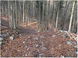 20
20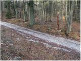 21
21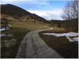 22
22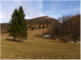 23
23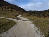 24
24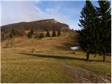 25
25 26
26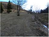 27
27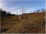 28
28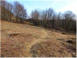 29
29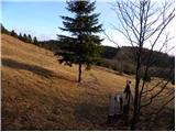 30
30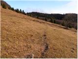 31
31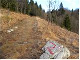 32
32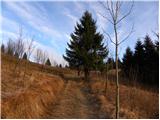 33
33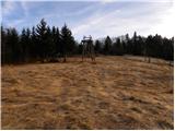 34
34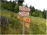 35
35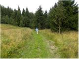 36
36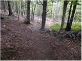 37
37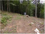 38
38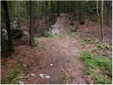 39
39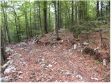 40
40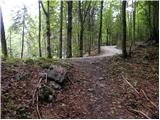 41
41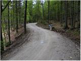 42
42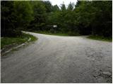 43
43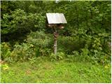 44
44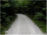 45
45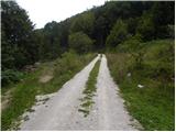 46
46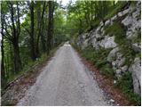 47
47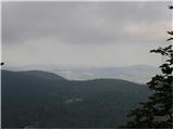 48
48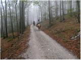 49
49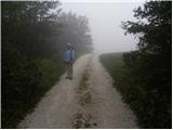 50
50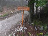 51
51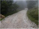 52
52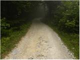 53
53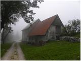 54
54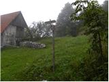 55
55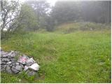 56
56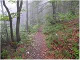 57
57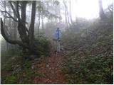 58
58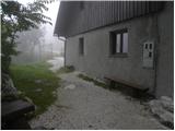 59
59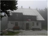 60
60
Discussion about the trip Podkraj - Pirnatova koča na Javorniku
|
| Eva198810. 05. 2021 09:59:32 |
Nice trail, summit nothing special, poor view.
|
|
|
|
| miri11. 05. 2021 06:54:53 |
If you don't like the view from the top of Javornik, there's no help for you.
|
|
|
To post a comment you must log in:
If you do not yet have a username, you must first
register.