Podmežakla (Jesenice) - Planina Ravne (via Zakop)
Starting point: Podmežakla (Jesenice) (580 m)
| Latitude/Longitude: | 46,43410°N 14,04640°E |
| |
Route name: via Zakop
Walking time: 2 h 15 min
Difficulty: easy unmarked way
Elevation gain: 376 m
Elevation difference along the route: 570 m
Map: TNP 1:50.000
Recommended equipment (summer):
Recommended equipment (winter): ice axe, crampons
Views: 2.158
 | 2 people like this post |
Access to starting point:
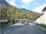
From the Ljubljana-Jesenice highway, head to the Lipce exit and drive right to Jesenice (at the traffic light in Slovenski Javornik left). In the center of the town, follow the signs for Podmežakla. When we drive through the underpass, we turn right, immediately after that on the left we notice the hockey hall. We drive another 350 m, when before the highway underpass we see the parking lot - the starting point of our path.
Route description:
From the parking lot, we head into the underpass, where we encounter the first blaze. When we step through it, straight ahead we notice a path that leads from the road uphill (blaze on the asphalt). We ascend a few meters along it and turn right (west) below the power line. The path, which initially ascends only moderately but later more steeply, brings us after some time to a junction, where we go left (straight to Mala Mežakla), uphill toward the summit. Soon we reach a forest road that through a double bend brings us to the branch-off of a cart track, which steeply ascends on the right in the SE direction. We take it and follow it. The path through the forest occasionally zigzags upward, first slightly to the left, higher up toward SW. Further on, the path gradually ascends more steeply in larger or smaller zigzags toward the top on the left. When we arrive below the rocks on the left, we are near the top of the plateau. Higher up, we encounter a left branch-off of a marked path, ignore it, and continue straight, and soon after, when the steepness eases, we reach Zakop - a smaller event space in the middle of the forest with a nearby forest road. We continue right along the road, which first after the right bend arcs left, then begins to descend. After a while, through some bends, we reach the first junction of forest roads, where we continue left, soon after to the next one, where we turn right onto the side road. We walk only 50 m along it, then on the left notice a cart track and cairn, to which we head and leave the road. Further, we walk along the cart track, which descends through the forest. Soon, at the bend where the path turns more sharply right, straight ahead we notice a cairn and track, to which we head and continue downhill. Then the path brings us out of the forest onto a smaller, charming mountain pasture Strženica, which we cross on the left side of the cattle pen in a right arc. (In case of livestock on the pasture, we can bypass the mountain pasture on the right). Further, we continue on a wider cart track, which still descends through the forest while ignoring side tracks. The path soon brings us out of the forest onto the expansive grassy areas of mountain pasture Oblek and turns into an increasingly hardened cart track that leads past nice holiday cottages, turns left, and finally ends at the main forest road that leads to Mežakla from the direction of Gorje. Here we turn right, catch sight of part of the Julian Alps, and continue along the road westward. When along the right side of the road we encounter a somewhat larger building (forestry cottage), we are at (on) mountain pasture Ravne, which lies along the left side of the road. At the end of the wooden fence on the left, we notice a cart track along which we can head across the meadow to the ruins of the shepherd's hut, which lie on the lower pasture, a good 5 min walk southward. If we continue straight along the road, we quickly reach a junction with a monument from World War II, and on the right we see a nicely renovated forestry holiday home. Here we turn left again and along the road through the forest soon reach three holiday homes (two on the right and one on the left side). The only one in use (Dom Univerze v Ljubljani, the second from the right) is located at the end of a short cart track on the right, where a signpost also directs us. Past the renovated but abandoned holiday home, which is on the left side of the forest road, we can reach the lower part of mountain pasture Ravne with the ruins of the shepherd's hut through somewhat overgrown forest (without a path).

Photos:
 1
1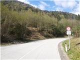 2
2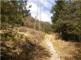 3
3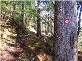 4
4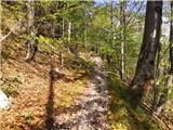 5
5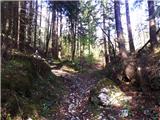 6
6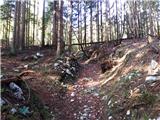 7
7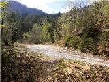 8
8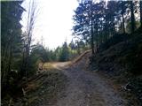 9
9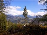 10
10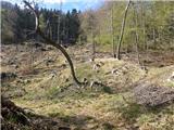 11
11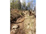 12
12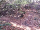 13
13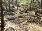 14
14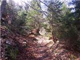 15
15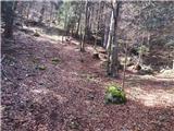 16
16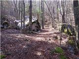 17
17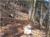 18
18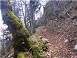 19
19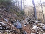 20
20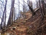 21
21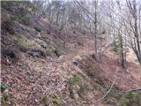 22
22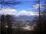 23
23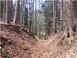 24
24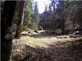 25
25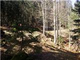 26
26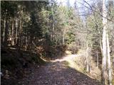 27
27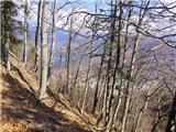 28
28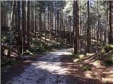 29
29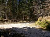 30
30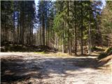 31
31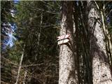 32
32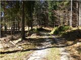 33
33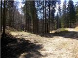 34
34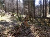 35
35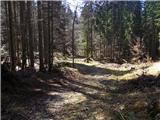 36
36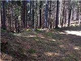 37
37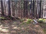 38
38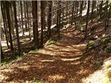 39
39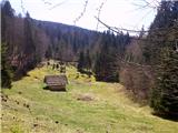 40
40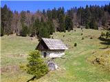 41
41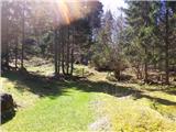 42
42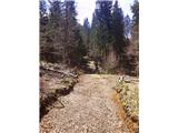 43
43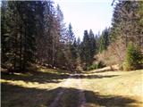 44
44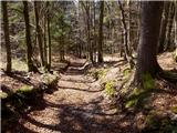 45
45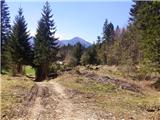 46
46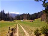 47
47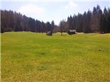 48
48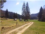 49
49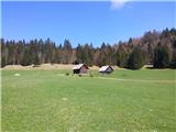 50
50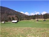 51
51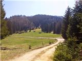 52
52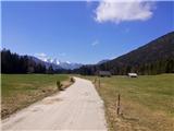 53
53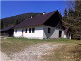 54
54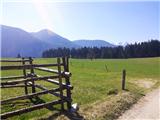 55
55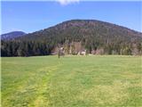 56
56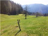 57
57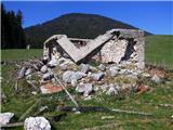 58
58 59
59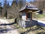 60
60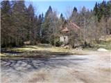 61
61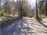 62
62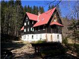 63
63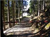 64
64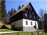 65
65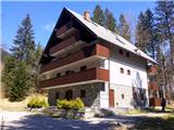 66
66
Discussion about the trip Podmežakla (Jesenice) - Planina Ravne (via Zakop)
To post a comment you must log in:
If you do not yet have a username, you must first
register.