Starting point: Poppendorf (380 m)
| Latitude/Longitude: | 46,87807°N 15,86440°E |
| |
Walking time: 2 h 10 min
Difficulty: easy marked way
Elevation gain: -4 m
Elevation difference along the route: 160 m
Map:
Recommended equipment (summer):
Recommended equipment (winter):
Views: 86
 | 1 person like this post |
Access to starting point:
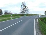
We drive to Austrian Styria, i.e., to the settlement of Bad Gleichenberg, from there from the roundabout on the southern side of the town we take the exit in the direction of the settlements of Gnas and Trautmannsdorf. From the roundabout we drive another approximately 3.5 km, i.e., to the intersection where a road branches off to the left, along which there are signs for Poppendorf-Berg and Gedenkstein.
The described trail starts at the mentioned intersection, but there are no designated parking spaces.
Route description:
From the intersection we continue along the side road which continues southwards, further on it has some smaller intersections where we continue straight, i.e. follow the rare markings. The path also continues southwards further on, except for some small bends, and for most of the time sticks to the ridge, where we walk partly through forest, partly through villages and hamlets. Later we reach the somewhat wider road Krusdof - Straden and follow it to the left, i.e. continue the path along the sidewalk.
After almost two hours of walking from the starting point we arrive at a small intersection where a short, five-minute path branches off to the right to Sazianiberg, we continue straight and after a few minutes of further walking arrive at the beginning of the town Straden.
Here we first carefully cross the somewhat wider road, then climb through the compact part of the settlement to the church in the upper part of the settlement Straden.
Starting point - junction for Sazianiberg 1:55, junction for Sazianiberg - Straden 0:15.
Description and photos refer to the state of March 2026.

Along the route: Poppendorfberg (399m), Kagleiten (339m)
Photos:
 1
1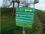 2
2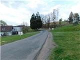 3
3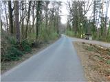 4
4 5
5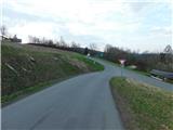 6
6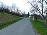 7
7 8
8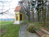 9
9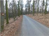 10
10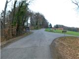 11
11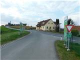 12
12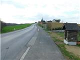 13
13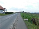 14
14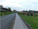 15
15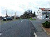 16
16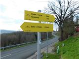 17
17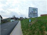 18
18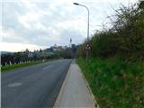 19
19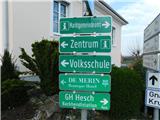 20
20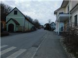 21
21 22
22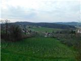 23
23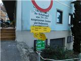 24
24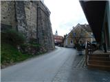 25
25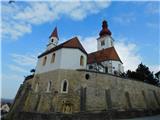 26
26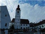 27
27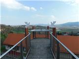 28
28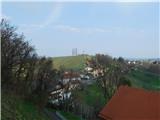 29
29
Discussion about the trip Poppendorf - Straden
To post a comment you must log in:
If you do not yet have a username, you must first
register.