Starting point: Potoki (341 m)
| Latitude/Longitude: | 46,25330°N 13,50860°E |
| |
Walking time: 2 h
Difficulty: easy marked way
Elevation gain: 884 m
Elevation difference along the route: 884 m
Map: Julijske Alpe - zahodni del 1:50.000
Recommended equipment (summer):
Recommended equipment (winter): ice axe, crampons
Views: 6.207
 | 2 people like this post |
Access to starting point:
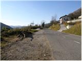
From Bovec or Tolmin we drive to Kobarid, where in the center we head towards the border crossing Robič. The road then brings us to the village Staro Selo, where at the intersection we turn right in the direction of the villages Breginj and Potoki. We follow this road past the village Kreda, behind which we park on the parking lot on the left side of the road. The parking lot is located a few 100m before the village Potoki.
Route description:
From the parking lot we continue towards the village Potoki, where signposts then direct us right onto a narrow road. We leave the road in a sharp left turn and head right onto a cart track that leads into the forest. While ascending the cart track we also come to some junctions, which are well marked. On the right side of the cart track we will soon notice a signpost that directs us left onto a footpath, along which we then ascend for quite some time. The path then leads us past a spring with drinking water and ascends somewhat more steeply.
The path slowly turns slightly to the left and brings us out of the forest for the first time onto somewhat overgrown grassy slopes. Here a nice view also opens up on Matajur and Stol. From the grassy slopes we enter the forest again, through which we ascend all the way to bivouac Hlek.
Photos:
 1
1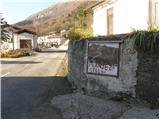 2
2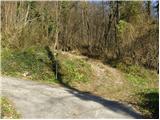 3
3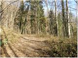 4
4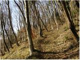 5
5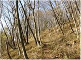 6
6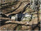 7
7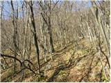 8
8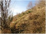 9
9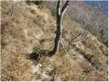 10
10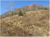 11
11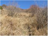 12
12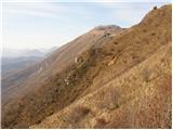 13
13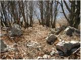 14
14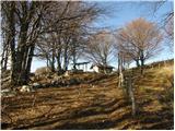 15
15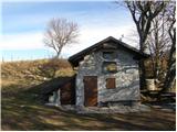 16
16
Discussion about the trip Potoki - Bivak Hlek
To post a comment you must log in:
If you do not yet have a username, you must first
register.