Predmeja (Gorjanka) - Mali Golak
Starting point: Predmeja (Gorjanka) (887 m)
| Latitude/Longitude: | 45,94376°N 13,87631°E |
| |
Walking time: 2 h 25 min
Difficulty: easy marked way
Elevation gain: 608 m
Elevation difference along the route: 645 m
Map:
Recommended equipment (summer):
Recommended equipment (winter): ice axe, crampons
Views: 2.430
 | 2 people like this post |
Access to starting point:
a) We drive to Col, from where we follow the road towards Otlica and Predmeja. The road leads us across the Gora plateau through a few villages. When we arrive at Predmeja, we turn onto the arranged macadam parking lot located at the beginning of a pronounced right turn. Next to it are placed mountain direction signs, trash bins and a small park with the Slovenian flag.
b) We drive to Ajdovščina, from where we follow the signs for Lokavec and Predmeja. A fairly steep ascent follows on a winding road to Predmeja, where at the intersection we turn right towards Otlica and Col. A little further, right after the end of the left turn, we turn right onto the macadam parking lot by the park with the Slovenian flag and mountain direction signs.
Route description:
From the parking lot we walk for a short time along the road in the direction of Otlica and Col, then at the intersection we turn left onto a side road, where markings and signs for the sports park Tiha dolina direct us. Through a few smaller intersections we reliably follow the markings and initially ascend easily past individual houses. After Štemčev kal the ascent begins to steepen somewhat more noticeably, but the path still leads past a few houses, while at intersections we always follow the signs for the mountain hut. The fairly scenic asphalt road then quickly takes us to Koča Edmunda Čibeja in Tiha dolina.
From the hut we continue following the signs for Mali Golak. Initially we walk on asphalt, from which a path soon branches off to the left towards Bloudkova skakalnica. We stay on the asphalt road, which a little further makes a left turn (serpentine), while straight ahead a forest road leads towards Javoršček. A few minutes higher we leave the forest and ascend to the last hamlet. Here the marked path leaves the asphalt and turns into a cart track, where we follow Knafelč markings. Higher up we cross a few cart tracks, but when we reach a wider macadam road for the second time, we turn left and walk on it for some time.
The marked path towards Mali Golak soon turns right uphill from this road, where it continues to ascend gently to moderately through the forest. A little further we step onto a larger clearing, at the edge of which stands an information board.
We continue on the marked path that leads past the left side of the board and return to the forest. At the board a path branches off left along the road towards Iztokova koča, while slightly right across the clearing an unmarked path leads to Srednji Golak. Our path continues to ascend moderately for some time, then takes us to an indistinct ridge from which it begins to descend transversely. After a short descent it levels out and leads us to the edge of a mighty doline. We bypass the doline on the left side, then the trail returns to the forest and ascends more steeply. After a few minutes of walking we reach an unmarked junction by a larger cairn.
Here we choose the left, marked but less trodden path (the right one also leads to the Golaks). The path crosses slopes to the left and, except for a few short descents, mostly ascends moderately. Higher up it turns somewhat more to the right and after a few minutes of walking joins the path from Iztokova koča.
Here we continue right and follow the moderately steep path to a small saddle west of the main summit. Here we turn right. The path quickly takes us out of the forest into a belt of dwarf pines, through which we ascend in a few minutes to the scenic summit of Mali Golak.
Starting point - Koča Edmunda Čibeja 0:25, Koča Edmunda Čibeja - Mali Golak 2:00.

Photos:
 1
1 2
2 3
3 4
4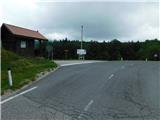 5
5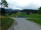 6
6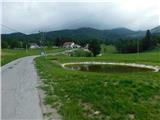 7
7 8
8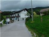 9
9 10
10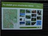 11
11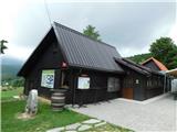 12
12 13
13 14
14 15
15 16
16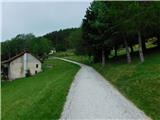 17
17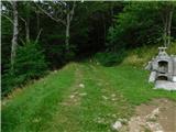 18
18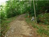 19
19 20
20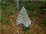 21
21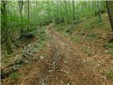 22
22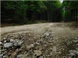 23
23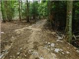 24
24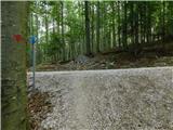 25
25 26
26 27
27 28
28 29
29 30
30 31
31 32
32 33
33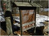 34
34 35
35 36
36 37
37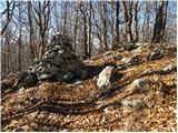 38
38 39
39 40
40 41
41 42
42 43
43 44
44 45
45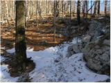 46
46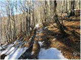 47
47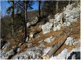 48
48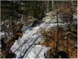 49
49 50
50 51
51 52
52 53
53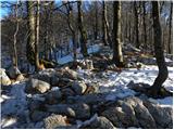 54
54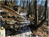 55
55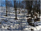 56
56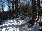 57
57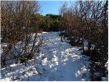 58
58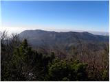 59
59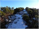 60
60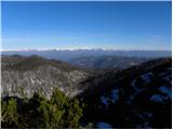 61
61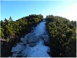 62
62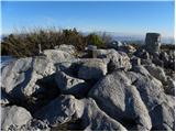 63
63
Discussion about the trip Predmeja (Gorjanka) - Mali Golak
|
| mirank21. 10. 2025 14:01:41 |
Description for those who like to pound their soles on asphalt and go up and down the same path. Otherwise it's better to park at the main junction towards Lokve and Ajdovščina. From there 100m on asphalt towards Lokve and immediately right on the path to the hunting range. From there on the forest path slightly right up and join the trail between sl22 and 23. Then to the top it's better to follow the path right to sl 46 - visibly more trodden. Return along the described path or to the hut and on the forest road 100m below the hut left past the hollow rock back to sl 27, for at least a little loop
|
|
|
To post a comment you must log in:
If you do not yet have a username, you must first
register.