Pristava - Zavetišče v Gozdu
Starting point: Pristava (516 m)
| Latitude/Longitude: | 46,34750°N 14,29820°E |
| |
Walking time: 1 h 15 min
Difficulty: easy unmarked way
Elevation gain: 375 m
Elevation difference along the route: 380 m
Map: Karavanke - osrednji del 1:50.000
Recommended equipment (summer):
Recommended equipment (winter):
Views: 573
 | 1 person like this post |
Access to starting point:
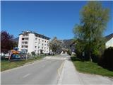
A) From the Ljubljana - Jesenice highway, we take the Naklo exit, then continue driving towards the settlements Žeje, Spodnje and Zgornje Duplje to the settlement Retnje, where we turn right towards the settlement Križe. Further on, we drive past the NOB monument, Križe sports field, cemetery and parish church Križe, then arrive at a crossroads with a priority road, where at the stop sign we go left towards Tržič. Križe ends soon and we arrive in Pristava, where at the crossroads by the children's playground the described path begins. We park in a suitable place nearby.
B) From the Jesenice - Ljubljana highway, we take the Podbrezje exit, then continue driving towards Ljubelj and Tržič. Before the Petrol gas station in Bistrica pri Tržiču we turn right and then drive into Tržič. When the road descends into the valley, we continue sharply right towards Pristava and Križe, further we drive on the road which at the end of the settlement Bistrica pri Tržiču ascends, then flattens and brings us to a crossroads, where we continue sharply left towards Pristava. In Pristava we go right past houses and a few smaller crossroads to the road Križe - Tržič, where at the children's playground in Pristava the described path begins. We park in a suitable place nearby.
Route description:
From the crossroads at the children's playground in Pristava we head onto the side road that continues eastwards and leads us past a few houses. When we reach the steep slope we continue straight onto the steep unmarked path that climbs above the settlement and quickly takes us into the forest. Higher up on the right we notice the hunting observation post, at the smaller junction we go left. A few minutes of ascent through the forest follow, then we reach a cart track, which we follow to the left. A little further on we also cross a macadam road, but we continue on the cart track, to which after a short ascent a marked path from Tržič joins from the left.
Walking along the cart track follows, where at junctions we follow the blazes, and higher up a path to the NOB Čevdrci monument branches off to the left from the cart track, but we continue straight on the marked path. A few minutes of flat path follow, then to the left we cross the asphalt road leading to the village Gozd. Continuing on a poorer macadam road, which after the trough with water turns into an ascending cart track. The cart track higher up temporarily touches the asphalt road, and we once again continue to the right of the road. A few minutes of gentle ascent through the forest follow and the path takes us to the Zavetišče v Gozdu shelter.
The description refers to the situation in April 2020, the photos are from January 2017 and April 2020.

Photos:
 1
1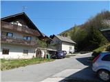 2
2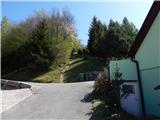 3
3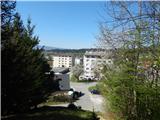 4
4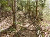 5
5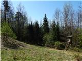 6
6 7
7 8
8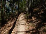 9
9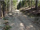 10
10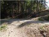 11
11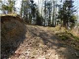 12
12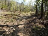 13
13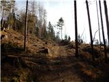 14
14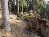 15
15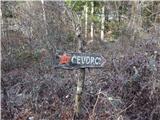 16
16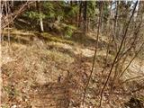 17
17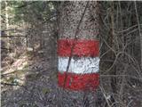 18
18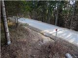 19
19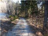 20
20 21
21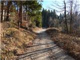 22
22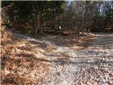 23
23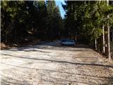 24
24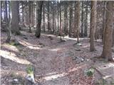 25
25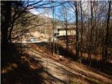 26
26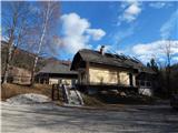 27
27
Discussion about the trip Pristava - Zavetišče v Gozdu
To post a comment you must log in:
If you do not yet have a username, you must first
register.