Starting point: Rateče (Ledine) (853 m)
| Latitude/Longitude: | 46,49137°N 13,72205°E |
| |
Walking time: 2 h 50 min
Difficulty: easy unmarked way
Elevation gain: 907 m
Elevation difference along the route: 920 m
Map: Kranjska Gora 1:30.000
Recommended equipment (summer):
Recommended equipment (winter): ice axe, crampons
Views: 1.738
 | 1 person like this post |
Access to starting point:
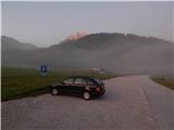
A) First, we drive to Kranjska Gora, and then we continue driving towards Rateče. When we get to a roundabout near Rateče, we take the exit in the direction of Planica. When, after a short descent, we reach the cycling path, we turn right and park on a marked parking lot.
B) Through the Rateče border crossing we drive into Slovenia, and then we soon go right towards Planica. When, after a short descent, we reach the cycling path, we turn right and park on a marked parking lot.
Route description:
From the parking lot, we continue along the edge of the cycling path and walk in the direction of Italy. After approximately 10 minutes, the road from Rateče joins us from the right, and we continue left on a narrower macadam road, which soon enters the forest and starts to ascend more steeply. We follow this road, which mostly continues through the forest, all the way to the Planinsko zavetišče Slatna hut, which we notice to the left of the road.
From the hut, we continue further on the road, which becomes even steeper and gradually transitions to the ridge of Drnica. At a few smaller junctions, we continue on the wider road; shortly after the path by the ski jumping hills joins from the left, we quickly arrive at the spot where the road begins to descend towards the torrential bed of Beli potok.
On the mentioned section there is a smaller junction, from which we continue slightly right on a cart track ascending parallel to the torrent gully of Beli potok. At the nearby junction, we go straight; when the cart track ends, we go left on a beaten path, beside which there is a small cairn, and on the tree we also notice a red arrow. This is followed by a diagonal ascent to the left, where we cross a few torrents, including the main bed of Beli potok. When the path flattens, there follows still some crossing, and then we join the hunting path, which starts somewhat further from the ski jumping hills in Planica.
Here we continue sharply right and first still cross some gullies, then beside the gully descending from Glave, we start to ascend steeply in numerous zigzags. Higher, we arrive in a smaller cirque, where the path temporarily flattens; after some 10 steps it turns left and ascends to the next junction, from which we continue left (right Vratica, Belopeška lakes and Mala Ponca).
This is followed by some gentle walking, then the path completely flattens and turns slightly right. On this section, we leave the Planica - Pokljuka path and continue left on a poorer little path, which starts to ascend towards the summit Glave (on some maps Ovčja stran). We follow this increasingly worse little path to the summit a few minutes away, from which a nice view opens up.
Starting point - Slatna hut 0:40, Slatna hut - Glave 2:10.
Description and pictures refer to the condition in 2019 (September).

Along the route: Planinsko zavetišče Slatna (1023m)
Photos:
 1
1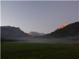 2
2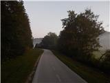 3
3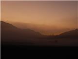 4
4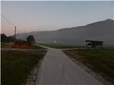 5
5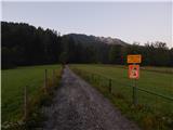 6
6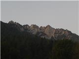 7
7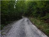 8
8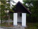 9
9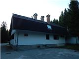 10
10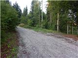 11
11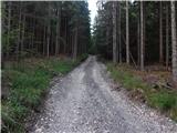 12
12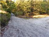 13
13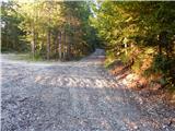 14
14 15
15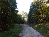 16
16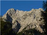 17
17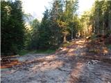 18
18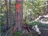 19
19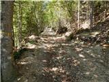 20
20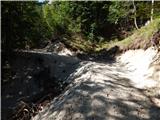 21
21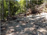 22
22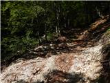 23
23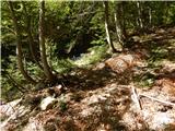 24
24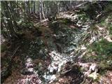 25
25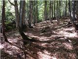 26
26 27
27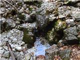 28
28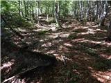 29
29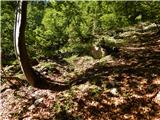 30
30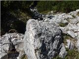 31
31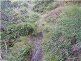 32
32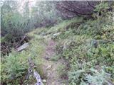 33
33 34
34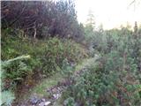 35
35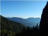 36
36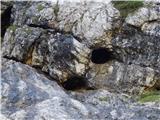 37
37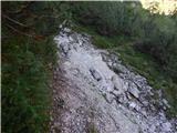 38
38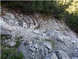 39
39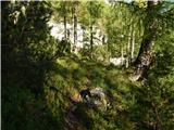 40
40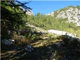 41
41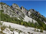 42
42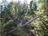 43
43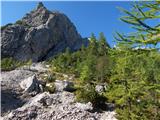 44
44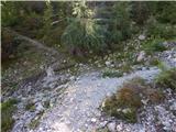 45
45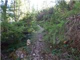 46
46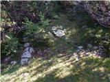 47
47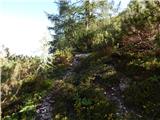 48
48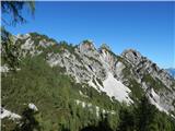 49
49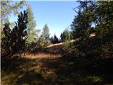 50
50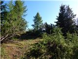 51
51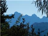 52
52 53
53
Discussion about the trip Rateče (Ledine) - Glave
|
| rokeg11. 04. 2020 |
The described path is marked as demanding unmarked trail. In my opinion, it is a mistake because there is no demanding section on this path. Also the other description from NC Planica is marked with the difficulty of easy unmarked trail. Somewhat more demanding is on the nearby Mala Ponca.
|
|
|
|
| Tadej11. 04. 2020 |
Thanks for the warning. I have corrected it.
|
|
|
To post a comment you must log in:
If you do not yet have a username, you must first
register.