Rateče (Ledine) - Mala Ponca / Ponza Piccola
Starting point: Rateče (Ledine) (853 m)
| Latitude/Longitude: | 46,49137°N 13,72205°E |
| |
Walking time: 3 h 30 min
Difficulty: difficult unmarked way
Elevation gain: 1072 m
Elevation difference along the route: 1115 m
Map: Kranjska Gora 1:30.000
Recommended equipment (summer): helmet
Recommended equipment (winter): helmet, ice axe, crampons
Views: 2.680
 | 1 person like this post |
Access to starting point:
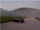
A) First, we drive to Kranjska Gora, then continue driving towards Rateče. When we get to the roundabout near Rateče, we take the exit in the direction of Planica. After a short descent, when we reach the cycling path, we turn right and park on the marked parking lot.
B) Through the Rateče border crossing we drive into Slovenia, then soon go right towards Planica. After a short descent, when we reach the cycling path, we turn right and park on the marked parking lot.
Route description:
From the parking lot, we continue along the edge of the cycling path and walk in the direction of Italy. After approximately 10 minutes, the road from Rateče joins us from the right, and we continue left on a narrower macadam road, which soon enters the forest and starts to ascend more steeply. This road, which mostly continues through the forest, we then follow all the way to the Planinsko zavetišče Slatna hut, which we notice to the left of the road.
From the hut we continue further along the road, which becomes even steeper and gradually transitions to the ridge of Drnica. At a few smaller crossroads, we continue on the wider road; shortly after the path along the ski jumps joins from the left, we quickly arrive at the place where the road begins to descend towards the torrential bed of Beli potok.
On the mentioned section there is a smaller crossroad, from which we continue slightly right onto a cart track that ascends parallel to the torrential gorge of Beli potok. At the nearby junction we go straight ahead; when the cart track ends, we go left onto a beaten path, beside which there is a small cairn, and on the tree we also notice a red arrow. This is followed by a traverse ascent to the left, where we cross a few torrents, including the main bed of Beli potok. When the path levels out, a few more traverses follow, then we join the hunting path, which starts a bit further from the ski jumps in Planica.
Here we continue sharply right and first cross a few more gullies, then along the gully descending from Glave, we begin a steep ascent in numerous switchbacks. Higher up we arrive in a small cirque, where the path temporarily levels out; after some 10 steps it turns left and ascends to the next junction, from which we continue right (slightly left to Glave and continuation of the Planica - Pokljuka path).
A moderate traverse ascent to the right follows; from the path, beautiful views open up to the walls of Ponca and Kucerjev, soon bringing us below Vratica, where the path becomes steep again and this time also more difficult. After a short steeper gully we ascend to Vratica, where we reach the state border with neighbouring Italy and from where an exceptional view opens onto Mangart and the surrounding mountains.
Below interesting towers we descend to the Italian side; at the nearby junction we go right, so we begin ascending again (straight down to Belopeška jezera).
Some traverses follow, then a short technically demanding descent, followed by a shorter exposed traverse. On the other side of the torrent, a few more minutes of fairly steep ascent follow, and amid ever better views we reach the summit of Mala Ponca.
Starting point - Slatna hut 0:40, Slatna hut - Vratica 2:30, Vratica - Mala Ponca 0:20.
The description refers to the situation in September 2019, the pictures are from various periods.

Along the route: Planinsko zavetišče Slatna (1023m), Vratica (1844m)
Photos:
 1
1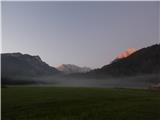 2
2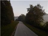 3
3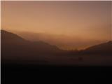 4
4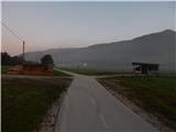 5
5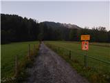 6
6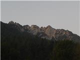 7
7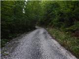 8
8 9
9 10
10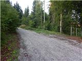 11
11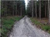 12
12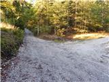 13
13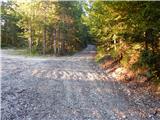 14
14 15
15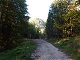 16
16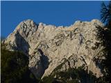 17
17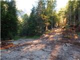 18
18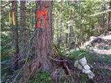 19
19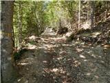 20
20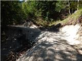 21
21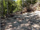 22
22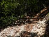 23
23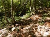 24
24 25
25 26
26 27
27 28
28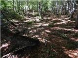 29
29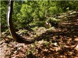 30
30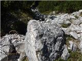 31
31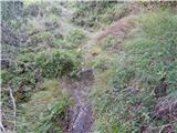 32
32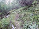 33
33 34
34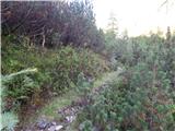 35
35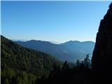 36
36 37
37 38
38 39
39 40
40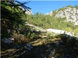 41
41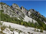 42
42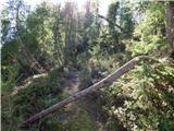 43
43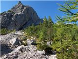 44
44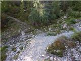 45
45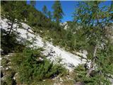 46
46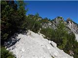 47
47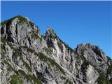 48
48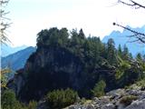 49
49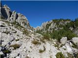 50
50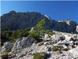 51
51 52
52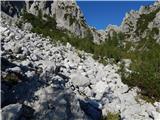 53
53 54
54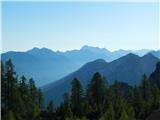 55
55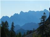 56
56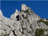 57
57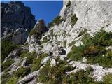 58
58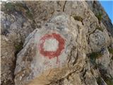 59
59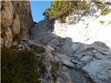 60
60 61
61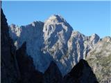 62
62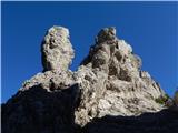 63
63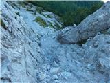 64
64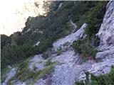 65
65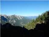 66
66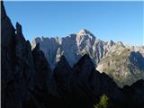 67
67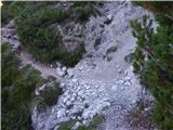 68
68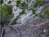 69
69 70
70 71
71 72
72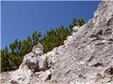 73
73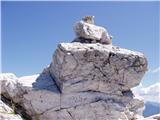 74
74
Discussion about the trip Rateče (Ledine) - Mala Ponca / Ponza Piccola
To post a comment you must log in:
If you do not yet have a username, you must first
register.