Starting point: Rekarjev rovt (940 m)
| Latitude/Longitude: | 46,40840°N 14,02240°E |
| |
Walking time: 45 min
Difficulty: easy unmarked way
Elevation gain: 244 m
Elevation difference along the route: 244 m
Map: TNP 1:50.000
Recommended equipment (summer):
Recommended equipment (winter): ice axe, crampons
Views: 1.988
 | 2 people like this post |
Access to starting point:
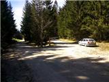
From the Ljubljana-Jesenice highway, take the Lipce exit (Jesenice east), where we turn left towards "Blejska Dobrava and Spodnje Gorje". Soon after driving into the railway underpass, we reach the next intersection, where we turn right towards Bled, Gorje. Initially, the serpentine road climbs straight towards the west and soon reaches the top or the settlement Kočna at the left bend. After passing it, we continue on the road for another 3 km. Soon after the settlement Poljane, which belongs to Spodnje Gorje (sign), after the bend from which the old road to Mežakla branches off, we turn right onto the side ascending road marked Zg. Laze. When we arrive in this village, we continue on the road, which descends slightly and brings us to the sharp left bend, where we turn right onto the macadam road towards Mežakla (sign). After a few kilometers of ascent, the road flattens, and immediately thereafter we encounter the right branch-off with the environmental sign TNP. We park nearby.
Route description:
From the starting point, we head back the way we came and walk along the road for a short time to the first wider cart track on the right, which runs parallel to the road. Along it we soon emerge from the forest onto an ascending cart track, where we turn right uphill towards the southwest. The cart track, which soon flattens, then brings us to the nice and expansive mountain pasture Strmole. On the left side of the pasture we see two structures, right beside the path one larger stable (barn). Just a few tens of meters ahead, where on the right we encounter large sand piles (approx. 2 m), we leave the cart track and head onto a cart track that from here ascends more steeply into the forest. This brings us out of the forest after a short ascent onto a grazing slope, where we may need to cross a fence. The path fades somewhat here; we continue uphill along the edge of the forest on the right. Slightly higher, the path turns gently left and leads us uphill past a stable on the right. Here the path fades again; we continue upward along the left edge of the pasture, near the fence, where the path reappears. Higher up, the wide path turns slightly right and eventually disappears, so we head across the meadow uphill towards the saddle on the right. On the saddle, a view opens onto the Julian Alps; looking back, the Karawanks come into view. Here we head left into the forest and climb uphill, keeping to the right, increasingly steep and rocky edge, where we occasionally spot a path. Higher, where we feel we are at the top, the path (edge) turns slightly left; the slope narrows into a mostly rocky ridge that just before the goal on the southern edge is somewhat slippery. When we step onto the southern edge of the ridge, fine views open onto the Julian Alps, Karawanks, Bohinj hills, Pokljuka, Jerebikovec, the Radovna valley, and the Gorje area.

Photos:
 1
1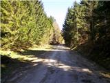 2
2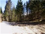 3
3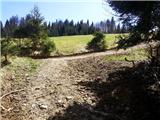 4
4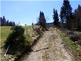 5
5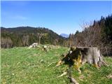 6
6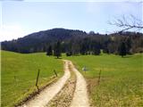 7
7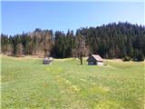 8
8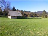 9
9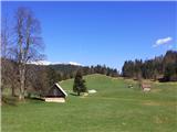 10
10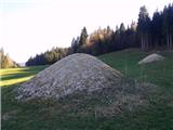 11
11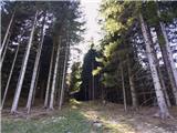 12
12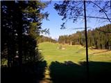 13
13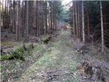 14
14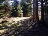 15
15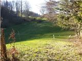 16
16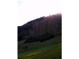 17
17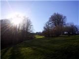 18
18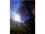 19
19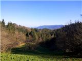 20
20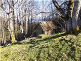 21
21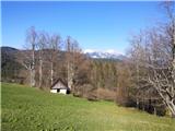 22
22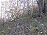 23
23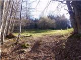 24
24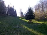 25
25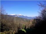 26
26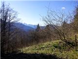 27
27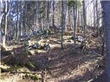 28
28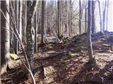 29
29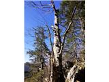 30
30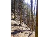 31
31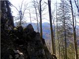 32
32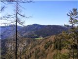 33
33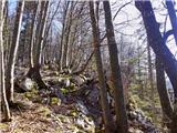 34
34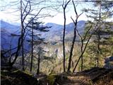 35
35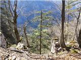 36
36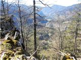 37
37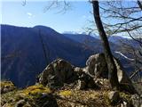 38
38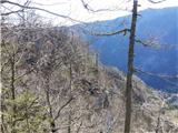 39
39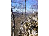 40
40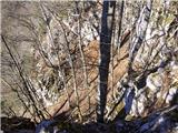 41
41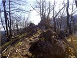 42
42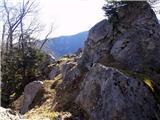 43
43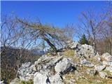 44
44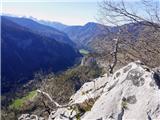 45
45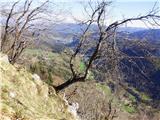 46
46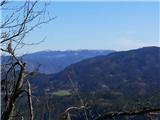 47
47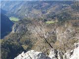 48
48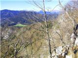 49
49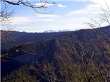 50
50 51
51
Discussion about the trip Rekarjev rovt - Police
To post a comment you must log in:
If you do not yet have a username, you must first
register.