Rifugio Tolazzi - Pic Chiadin
Starting point: Rifugio Tolazzi (1350 m)
| Latitude/Longitude: | 46,59199°N 12,86780°E |
| |
Walking time: 2 h 25 min
Difficulty: easy marked way, easy pathless terrain
Elevation gain: 952 m
Elevation difference along the route: 952 m
Map:
Recommended equipment (summer):
Recommended equipment (winter): ice axe, crampons
Views: 1.660
 | 2 people like this post |
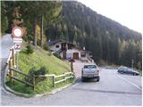
Access to starting point:
From Trbiž/Tarvisio we head onto the highway towards Videm/Udine. We leave the highway at the exit for Tolmezzo. At Tolmezzo we then also leave the road which leads towards the pass Passo di Croce Carnico / Plöckenpass and head towards Villa Santina. In Villa Santina at the roundabout we go straight following the signs for Ovaro, Sappada. We follow this road all the way to Forni Avoltri, where we turn right following the signs for Collina. We then follow the asphalt road all the way to the parking lot before the mountain hut Tolazzi.
Route description:
From the parking lot at the mountain hut Tolazzi we continue on the road following the signs Rifugio Marinelli. After a short ascent we come to a junction, where the path towards the mountain hut Lambertenghi-Romanin branches off to the left. We continue on the mountain road, then in a sharp left turn we leave the road and continue on a cart track which soon turns into a footpath. Next follows an ascent through the forest alongside the stream Morareto, then we again join the mountain road which we follow all the way to Casera Morareet, where there is also a marked junction. Here we leave the mountain road and head right (towards the east) and begin to ascend grassy slopes with a nice view of the nearby peaks. The path then turns slightly to the left and follows a somewhat steeper ascent towards the mountain hut Marinelli.
At the mountain hut we head towards the northwest following the signs Monte Coglians and begin to ascend somewhat steeper grassy slopes. The path quickly brings us to an unmarked junction, where the path Sentiero Spinotti branches off to the left towards the mountain hut Lambertenghi – Romanin. Our path here turns to the right and ascends to the grassy ridge. Further on the path runs again slightly left of the ridge and rejoins it below the summit Pic Chiadin. The summit is located just a few meters from the path.

Photos:
 1
1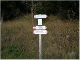 2
2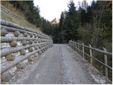 3
3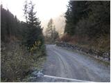 4
4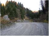 5
5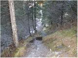 6
6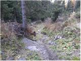 7
7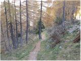 8
8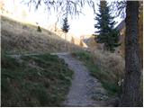 9
9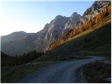 10
10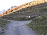 11
11 12
12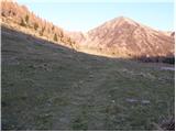 13
13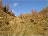 14
14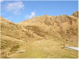 15
15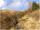 16
16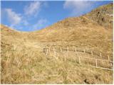 17
17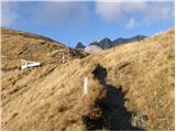 18
18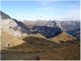 19
19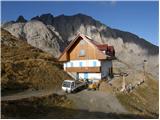 20
20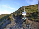 21
21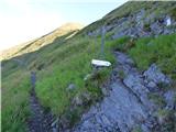 22
22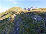 23
23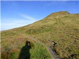 24
24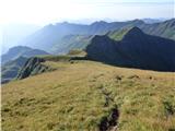 25
25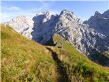 26
26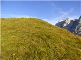 27
27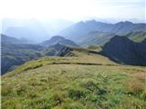 28
28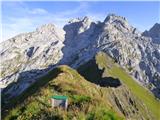 29
29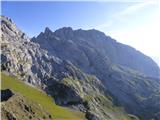 30
30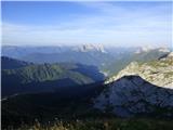 31
31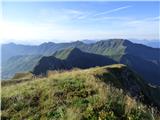 32
32
Discussion about the trip Rifugio Tolazzi - Pic Chiadin
To post a comment you must log in:
If you do not yet have a username, you must first
register.