Sabathy-Hütte im Zirbenland - Linderhütte (pod Zirbitzkoglom)
Starting point: Sabathy-Hütte im Zirbenland (1620 m)
| Latitude/Longitude: | 47,08721°N 14,59999°E |
| |
Walking time: 25 min
Difficulty: easy marked way
Elevation gain: 110 m
Elevation difference along the route: 110 m
Map:
Recommended equipment (summer):
Recommended equipment (winter): ice axe, crampons
Views: 58
 | 1 person like this post |
Access to starting point:
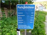
Leave the Austrian southern motorway A2 (Celovec ob Vrbskem jezeru / Klagenfurt am Wörthersee–Gradec / Graz) at the exit Šentlenart in Labotska dolina / Bad St. Leonhard im Lavanttal, then follow the signs for Zeltweg and Reichenfels. When we reach Austrian Styria, follow the main road to the settlement Obdach, where we turn left towards the centre of the settlement (if we miss the first exit, another entrance to the settlement is available immediately after the tunnel). Through Obdach follow the signs for the mountain hut Sabathy-Hütte im Zirbenland and the town St. Wolfgang. At an altitude of approximately 1220 metres we reach a right-hand bend with a chapel and a junction; continue on the left road following the signs for Sabathy-Hütte im Zirbenland. A few more kilometres of ascent on a somewhat narrower asphalt road bring us to the paid parking area in front of the hut. The parking fee in July 2026 was 3 eur.
Route description:
From the car park we walk to the Alpengasthof Sabathy hut in the Zirbenland, pass it on the left and then follow the signs for Zirbitzkogel. The path first leads past the Herz-Jesukapelle, then ascends along the edge of the forest to a small junction below the Almrauschhütte.
We continue straight ahead (Almrauschhütte hut on the right, 1 minute) and proceed along the mountain road which climbs through the forest for a few more minutes. Higher up we leave the forest and reach the junction at the Linderhütte.
Starting point - Almrauschhütte 0:10, Almrauschhütte - Linderhütte 0:15.
Description and photos refer to the situation in July 2026.
Photos:
 1
1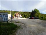 2
2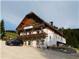 3
3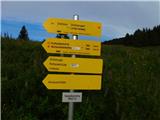 4
4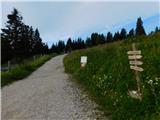 5
5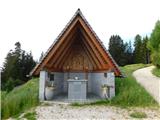 6
6 7
7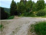 8
8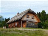 9
9 10
10 11
11 12
12 13
13 14
14
Discussion about the trip Sabathy-Hütte im Zirbenland - Linderhütte (pod Zirbitzkoglom)
To post a comment you must log in:
If you do not yet have a username, you must first
register.