Ski hotel Vogel - Vogel (po zahodnih pobočjih smučišča Vogel)
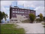
Starting point: Ski hotel Vogel (1540 m)
| Latitude/Longitude: | 46,27580°N 13,83580°E |
| |
Route name: po zahodnih pobočjih smučišča Vogel
Walking time: 2 h 30 min
Difficulty: partly demanding marked way
Elevation gain: 382 m
Elevation difference along the route: 550 m
Map: TNP 1:50.000
Recommended equipment (summer):
Recommended equipment (winter): ice axe, crampons
Views: 56.226
 | 4 people like this post |
Access to starting point:
From the Ljubljana-Jesenice motorway, take the Lesce exit and follow the road towards Bled and then towards Bohinjska Bistrica. Continue driving towards Lake Bohinj (Ribčev laz), where you arrive at a junction and continue straight along the left (southern) side of the lake in the direction of Ukanc and Savica Waterfall. Follow this road to the lower station of the Vogel cable car, then buy a ticket and take the cable car to the upper station, which is the starting point for our tour.
Route description:
When we step out of the upper station of the cable car, we head right towards the mountain hut Merjasec. We reach it after 100 metres of walking.
At the hut, we take the path in the direction of Vogel, Šija and Rodica. The path first starts slightly descending along the ski slope, then brings us to an indistinct saddle, where the path to Zlatorog branches off to the right. We continue left along a poor road without markings, but encounter blazes a little further on. The cart track starts to ascend and turns slightly right. A little further ahead, the cart track has a junction, but the steep left and gentle right branches quickly merge. Then on the right side we spot a cross, where the poorer road levels out and brings us to a path junction on a small plateau.
Here on the right side we see the upper station of the two-seater chairlift Zadnji Vogel. We head onto the ski slope, which starts descending and soon makes a left turn. Our path descends to the right turn of the ski slope, where we leave it.
We continue straight ahead, where we notice a nicely trodden path that first ascends gently, then ever more steeply. The path ascends to a junction, where the path from below Orlove glave joins. Here we head in the direction of Komna, and the path starts to descend. The path then finds its rhythm and starts to ascend gently. A little further, we reach a junction where the signpost for Vogel directs us left upwards. The path here starts ascending and takes us across scree to Škrbina, the lowest point between Primorska and Gorenjska from Mangart to Črna Prst (excluding Vršič). At Škrbina, where the path below the slopes of Šija joins, a view opens up towards Primorska.
We continue right along the ridge, which is exposed steeply upwards. This is followed by the hardest part of the path: we cross a short but precipitous ledge without fixed protection. Next we cross a gully, after which the difficulties end. Below the summit slope of Vogel we cross scree, then the path climbs grassy slopes to the saddle between Vogel and Vrh Krnic. From the saddle to the summit, five more minutes of walking follow along a panoramic easy ridge.

Photos:
 1
1 2
2 3
3 4
4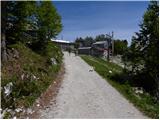 5
5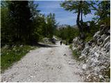 6
6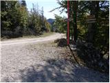 7
7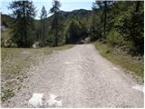 8
8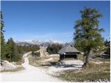 9
9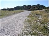 10
10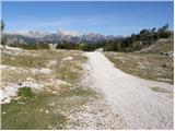 11
11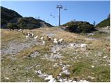 12
12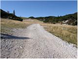 13
13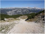 14
14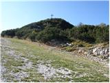 15
15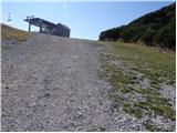 16
16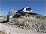 17
17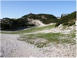 18
18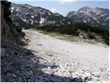 19
19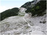 20
20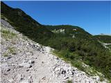 21
21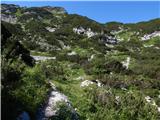 22
22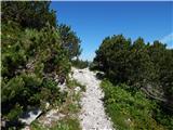 23
23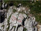 24
24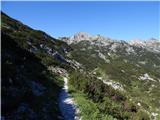 25
25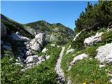 26
26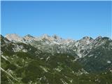 27
27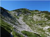 28
28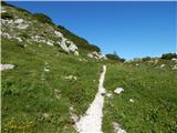 29
29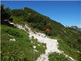 30
30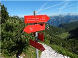 31
31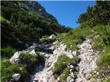 32
32 33
33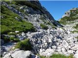 34
34 35
35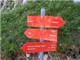 36
36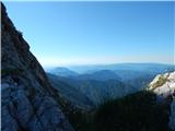 37
37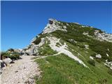 38
38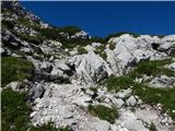 39
39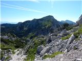 40
40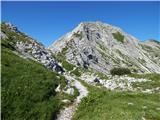 41
41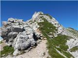 42
42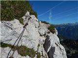 43
43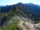 44
44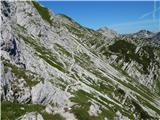 45
45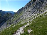 46
46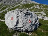 47
47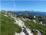 48
48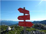 49
49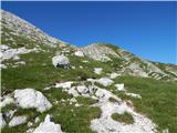 50
50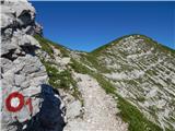 51
51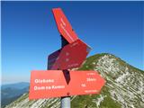 52
52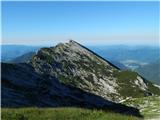 53
53 54
54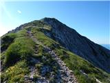 55
55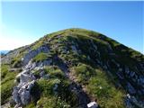 56
56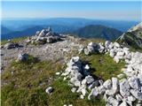 57
57 58
58
Discussion about the trip Ski hotel Vogel - Vogel (po zahodnih pobočjih smučišča Vogel)
|
| Gost20. 08. 2007 |
On Saturday, August 18, 2007, there was fog, but we still set off from Koča Merjasec towards Vogel to conquer its summit. The markings are very poor or non-existent, and despite the map and the additional map we got at Koča Merjasec, we couldn't orient ourselves. Just below Šija we finally found a signpost and an old marking, and tried to continue the path, but the fog was so thick that we were no longer sure if we were going in the right direction, so that we would have enough time to complete the entire tour, and we returned. All criticism to those who should ensure sufficiently clear markings. We met two more groups of hikers who encountered the same problems. We are long-time members of the Alpine Association of Slovenia.
|
|
|
|
| Gost20. 08. 2007 |
I think you are to blame yourselves. In fog on Vogel ridge. Every experienced hiker knows that on unfamiliar terrain in fog you don't know what to do. Be happy it ended well. Even if you are PZS members, that doesn't mean you are experienced.
|
|
|
|
| Gost20. 08. 2007 |
When I come across poorly maintained markers and want to get angry, I soon calm down when I remember what the signs are like e.g. in Italy and become grateful that I live in our country where mountain paths are accessible to almost everyone. We really don't know what we have!
|
|
|
|
| Pi_is_exactly_37. 10. 2012 |
Yesterday the stamp was missing at the top! Luckily it was obtained later at the hut on Planina Razor. To the one who took it: "Nice try asshole!"
|
|
|
|
| balon5. 07. 2014 |
Is a stamp provided, is it located at the top?
Regards,
Baloncki
|
|
|
|
| možiček5. 07. 2014 |
3 weeks ago the stamp was there
|
|
|
|
| balon5. 07. 2014 |
Due to fear of the chairlift (very bad experience) I'm wondering if it's possible to drive to the Ski hotel by car, if so I'd ask for directions (how to get there), and what the road condition is.
Thanks and best regards,
Baloncki
|
|
|
|
| sirt16. 07. 2014 |
Balon
Actually, to the Ski hotel it's not a chairlift but a gondola (cabin for about 80 people) that you board and exit while stationary. The chairlift runs further from the Ski hotel.
|
|
|
|
| balon6. 07. 2014 |
So, if I understand correctly, a gondola takes you to the starting point of this hike? If yes, yippee.
Best regards
Baloncki
|
|
|
|
| valerija1126. 07. 2014 |
Yes, Balon. Straight by gondola to Ski hotel, then happily on foot. To the top a great hike, real enjoyment. Good luck
|
|
|
|
| balon7. 07. 2014 |
Thanks and safe steps in our beautiful mountains.
Baloncki
|
|
|
|
| kanin44425. 08. 2014 |
very nice excursion just the right length. Shame only that there's no stamp pad at the top
|
|
|
|
| frutabela22. 07. 2017 |
Disaster of markings and path description. In summer, when most devices at the ski resort are not operating and you are first on Vogel, you can't just figure out by yourself where the double chairlift is, where the ski slopes run and so on. The signs where the path splits towards Vogel and towards Šija could be more clearly marked. There are enough markings that you won't get completely lost, but if you plan to visit a specific summit, you really need a good sense. For a while we followed the path description, which soon becomes unclear. So we started following the markings, which took us to the top of Šija, thinking we were at the top of Vogel, just like all the other hikers who were there with us at the time. Only after analyzing the path at home did we realize that we were actually at the top of Šija and not Vogel. We are in the mountains almost every weekend, so we have quite a bit of experience with hiking and following markings, and something like this has never happened to us before.  Given that the other hikers at the top were also mistaken, we think that the junctions need to be better marked. Given that the other hikers at the top were also mistaken, we think that the junctions need to be better marked.
|
|
|
|
| Daaam24. 07. 2017 |
The map will be in the backpack..
|
|
|
|
| margu5025. 07. 2017 |
I was there this year, reached Vogel without problems. If you look at the map a bit and read something on Hribi.net, it should be pretty clear from the walking time that the first summit is not Vogel.
|
|
|
|
| GregorC25. 07. 2017 |
That's called poor preparation for the trip. Plenty of markers, well signposted, but to end up on Šija instead of Vogel  , I don't know. Especially if you're in the mountains almost every weekend, this shouldn't happen to you. Unless you blindly follow the markers all the time, then wherever you end up. No sense of direction , I don't know. Especially if you're in the mountains almost every weekend, this shouldn't happen to you. Unless you blindly follow the markers all the time, then wherever you end up. No sense of direction 
|
|
|
|
| maks5714. 08. 2017 |
On Saturday my wife and I were on Vogel. Despite strong wind, wonderful tour in fantastic landscape.
But I can't believe the elevation gain data. From memory, but I simply can't believe the 500 m of walked elevation gain. I think we covered much more.
|
|
|
|
| miri14. 08. 2017 |
And why wouldn't you believe the official data?
|
|
|
|
| Enka14. 07. 2019 |
Nice path, well marked and secured on the ridge, only at the Šija/Komna junction (signs on stones) you need to know to follow the path towards Komna. Apart from there you can't go wrong. But there's quite a bit of descent on the path (which is ascent on the way back), so in the end quite some altitude accumulates, my watch measured 750 in both directions today.
|
|
|
To post a comment you must log in:
If you do not yet have a username, you must first
register.