Smrečje - Vrh Svetih Treh Kraljev (via Jereb)
Starting point: Smrečje (708 m)
| Latitude/Longitude: | 46,01170°N 14,19100°E |
| |
Route name: via Jereb
Walking time: 45 min
Difficulty: easy marked way
Elevation gain: 176 m
Elevation difference along the route: 176 m
Map: Škofjeloško in Cerkljansko hribovje 1:50.000
Recommended equipment (summer):
Recommended equipment (winter):
Views: 3.986
 | 1 person like this post |
Access to starting point:
A) From the Ljubljana–Koper highway, take the Vrhnika exit, then continue driving on the parallel old road towards Logatec. Soon we will notice signs for Stara Vrhnika, which direct us to the right. We follow the road to Stara Vrhnika and further towards Podlipa and Velika Ligojna. After Stara Vrhnika, we leave the main road and continue left in the direction of Podlipa and Smrečje. After Podlipa, the road starts to ascend more steeply, and higher up the road from Horjul also joins from the right. Here we continue slightly left, and follow the occasionally somewhat narrower road to the sign that marks the end of the Vrhnika municipality. Here we park on a suitable place by the road.
B) From Horjul, past Vrzdenec, we drive towards Gorenja vas. In the first sharp right turn, a road branches off to the left towards the village Šentjošt nad Horjulom. We take this road and follow it to the next intersection, where we turn right (left downwards to Vrhnika). The road then soon brings us to the village Smrečje. We follow it through the village and then park on one of the smaller parking areas by the road.
C) From Škofja Loka, along the regional road, we drive to Žiri, from there we take the road that runs along the Račeva river upwards in the direction of the villages Smrečje and Žirovski Vrh. We follow the road further in the direction of Smrečje and Vrh Svetih Treh Kraljev. Before we reach the village Smrečje, a road branches off sharply to the right towards Vrh Svetih Treh Kraljev. We park on one of the parking areas by the road near the intersection.
Route description:
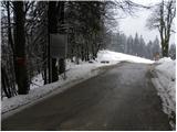
From the starting point, we continue on the asphalt road which starts moderately descending towards Žiri, after a short descent it brings us to the marked intersection, where we continue left upwards in the direction of Vrh Svetih Treh Kraljev. The road then brings us out of the forest, where a road branches off to the left towards Rovte, we continue straight and follow the road to the spot where it returns into the forest. Here, on the left side, we will notice a marked footpath which moderately ascends through the forest. Higher, we cross the asphalt road and join it a little higher.
We continue the gentle ascent on the asphalt road, to which from the right a marked path from Račevsko jezero also joins. Only a little higher, the road splits into two parts, we continue on the right road in the direction of Vrh Svetih Treh Kraljev and Petrač (the left path is somewhat shorter). We walk on the road only a short time, then the blazes direct us left onto an ascending and in the upper part quite panoramic cart track. Higher, the cart track flattens and bypasses the Jereb farm on the left side. Above the farm, we join the asphalt road, on which we walk to the mountain hut on Vrh Svetih Treh Kraljev in a few minutes.
From the mountain hut, we continue on the marked hiking path, which starts to ascend steeply through increasingly sparse forest. The path then flattens and brings us to an asphalt road, on which after a few minutes of further walking we arrive at the panoramic summit.

Photos:
 1
1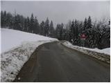 2
2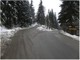 3
3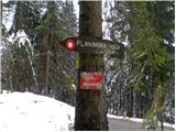 4
4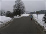 5
5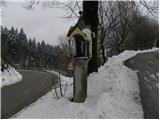 6
6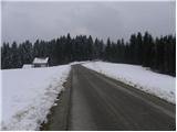 7
7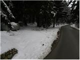 8
8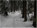 9
9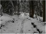 10
10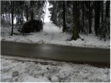 11
11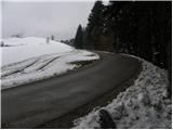 12
12 13
13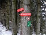 14
14 15
15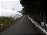 16
16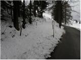 17
17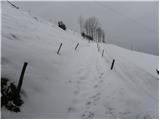 18
18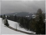 19
19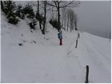 20
20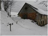 21
21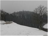 22
22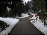 23
23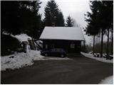 24
24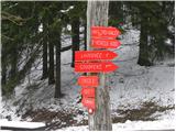 25
25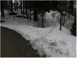 26
26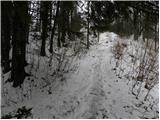 27
27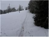 28
28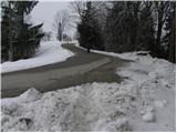 29
29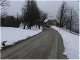 30
30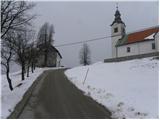 31
31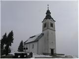 32
32 33
33
Discussion about the trip Smrečje - Vrh Svetih Treh Kraljev (via Jereb)
To post a comment you must log in:
If you do not yet have a username, you must first
register.