Solkan - Planinsko zavetišče na Koradi (southern way)
Starting point: Solkan (100 m)
| Latitude/Longitude: | 45,97510°N 13,64840°E |
| |
Route name: southern way
Walking time: 5 h 25 min
Difficulty: easy marked way
Elevation gain: 703 m
Elevation difference along the route: 1090 m
Map: Goriška 1:50.000
Recommended equipment (summer):
Recommended equipment (winter):
Views: 395
 | 2 people like this post |
Access to starting point:
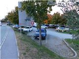
a) First we drive to Nova Gorica, then follow the signs for Kobarid, Tolmin and Bovec. In Solkan, from the traffic-light intersection we continue left towards Solkan and Goriška Brda, a little further we turn left again towards Solkan (right along the main road to Goriška Brda), then immediately right onto the large parking lot located by the Solkan railway station.
b) From Tolmin we drive towards Nova Gorica, but only to the beginning of the settlement of Solkan. Here, from the traffic-light intersection we continue right towards Solkan and Goriška Brda, a little further we turn left again towards Solkan (right along the main road to Goriška Brda), then immediately right onto the large parking lot located by the Solkan railway station.
c) The starting point is at the parking lot at the end of Solkan, which can be reached by city bus from Nova Gorica or Šempeter.
d) The starting point can also be reached by train, by getting off at the Solkan railway station.
Route description:
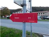
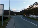
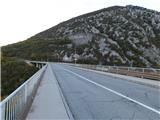
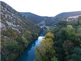
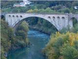
By the parking lot we notice red mountain direction signs for Sabotin, which direct us north, where after a few steps we reach an intersection and continue left towards Goriška Brda. The path ahead leads us along the sidewalk, and across the road bridge of Solkan we cross the Soča river, which at normal water level is 55 meters below.
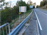
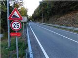
Immediately behind the bridge the northern path to Sabotin used to branch off sharply left and down, following the meteorite channel. We continue straight along the left edge of the fairly busy road without a sidewalk; a little further the now official northern path to Sabotin branches off to the left, while we continue along the edge of the road, walking carefully to the right hairpin bend.
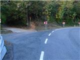
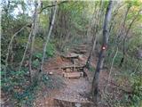
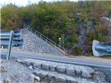
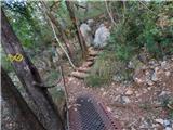
When the road turns right we turn onto the marked footpath, which ascends a few wooden steps and enters the forest, through which we then climb to the point where we return to the asphalt road.
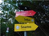
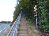
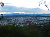
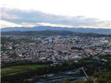
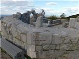
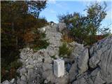
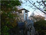
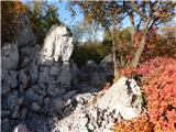
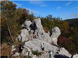
We carefully cross the asphalt road, then ascend steep concrete steps; from the top of the steps a fine view opens towards both Goricas, and further on at junctions we follow the markings and signs for Sabotin. Higher up the path leads us past an interesting karstified world; a little further we reach an unwooded section where the stone inscription TITO is located. The path here leads along the stone letters, then we ascend transversely to the right, reaching the registration box with the visitors' book. The path ahead passes onto the ridge and brings us to the restored ruins of the church of St. Valentine, from where a fine view opens.
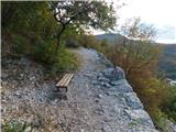
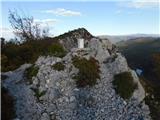
The path ahead leads us along the ridge of Sabotin, which continues northwest. At first we descend a little, then ascend to the pre-summit. A stretch of easy walking with exceptional views follows, then a moderate ascent to the main summit of Sabotin, where a viewpoint plaque and registration box are located.
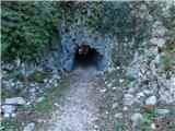
From the summit of Sabotin we also continue in roughly the same direction and first descend gently, then moderately along the ridge; at junctions we follow the signs for Koča na Sabotinu. Lower down the path levels out and leads us past several caverns to Koča na Sabotinu.
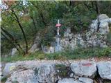
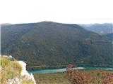
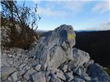
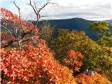
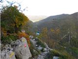
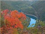
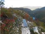
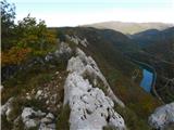
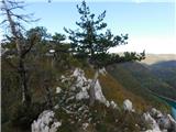
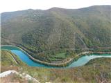
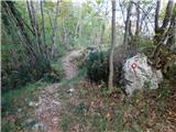
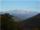
Further on we follow the signs for Korada, first walking north, then at several successive junctions following the markings. Here the path leads us past old military trenches, then we reach the ridge along which we continue for quite some time. Along the ridge we mostly descend easily, only occasionally ascending a few steps; part of the route also offers exceptional views of the Soča river and surrounding mountains, and Korada can be seen quite far away. Further on there are still several junctions where we follow Knafelč markings; lower down the path sinks into deciduous forest, where it levels out, though it also ascends slightly several times. When we leave the forest we reach a cart track that gradually widens into a gravel road, which then leads us past the NOB monument and the hunting lodge.
The path ahead leads us for some time along the gravel road; from a junction in the forest we turn onto the marked path with signs for Korada. We continue for a few minutes through the forest, then across a meadow; after the next belt of forest the cart track widens into a driveable road, where past a few houses we reach the marked intersection in the settlement Vrhovlje pri Kojskem.
From the intersection we continue right towards Korada and along the road towards Plave. At first we ascend easily through the settlement; after the NOB monument we begin to descend. When we start descending, the path to the church of the Virgin Mary at Kapela first branches off to the left, while we continue straight and proceed along the main road, along which the Knafelč markings continue. A little lower we turn slightly left onto a narrower asphalt road marked for Korada and the settlements Lig and Višnjevik. A short ascent follows and just before the next intersection a path joining from the left, leading past the church of the Virgin Mary, joins us.
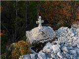
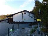
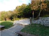
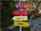
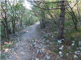
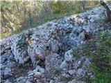
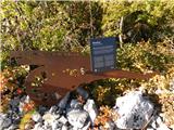
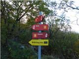
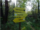
We continue straight, still for some time on the asphalt road, following markings at intersections, then turn slightly right onto a marked footpath that continues through the forest and then bypasses the hill Strmec on its right side. North of Strmec we return to the asphalt road, then from the nearby intersection turn slightly left onto the road marked for Bela and Nozno. A little further, looking to the left, a fine view opens towards Goriška Brda, the view reaching all the way to the sea. When we return to the forest the asphalt road soon bends slightly left, while a gravel road branches off to the right; we continue on the marked path that runs between the two roads and a minute later returns to the asphalt road we left lower down when we turned left towards Nozno at the intersection. A short section along the asphalt road follows, where looking to the right a fine view opens towards the Trnovski gozd, then red mountain direction signs direct us slightly left onto a path that continues through the forest. A little further we cross the road we left, then ascend for some time along the right edge of a pasture; higher up the path levels out and leads us across a meadow where on the right we notice a kind of chapel or remnant of a military altar. Further on the path widens into a cart track that bypasses a weekend house on its upper, right side. After the weekend house we step onto the asphalt road; when the road returns to the forest we turn left onto the road marked for the settlement Senik, then after a few steps right onto a poorer road that a minute later returns to the wider gravel road. At the point where we return to the wider gravel road we immediately turn right onto the footpath marked for the mountain hut. The path continues with a moderate ascent through the forest; higher up we also ascend across a meadow, after which we gradually return to the asphalt road. The asphalt road then forks once more; we continue on the mountain path between the roads, soon reaching the left-hand road, which we also do not follow for long. When we leave the forest we also leave the road leading to the nearby hunting lodge and continue right towards Korada. The path here returns to the forest once more, and a little further it forks. To the right an marked but unmarked path branches off towards the summit of Korada, while we keep to the left path, which a little further brings us to Planinsko zavetišče na Koradi.
We can descend back to Koča na Sabotinu and from there by the northern path to the starting point; if the return route is too long we can descend to Plave and from there by train or bus to Solkan.
Solkan - sv. Valentin 1:10, sv. Valentin - Sabotin 0:20, Sabotin - Koča na Sabotinu 0:10, Koča na Sabotinu - Vrhovlje pri Kojskem 1:50, Vrhovlje pri Kojskem - Zavetišče na Koradi 1:55.
The description and pictures refer to the situation in October 2026.
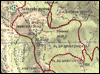
Along the route: Šmaver (118m), Pri stopnicah (203m), Napis TITO (485m),
Vrh sv. Valentina (538m),
Sabotin (609m),
Dom na Sabotinu (560m), Sv. Primož (405m), Lovska koča (400m), Vrhovlje pri Kojskem (385m), Za Lužo (478m), Za Slatno (634m), V trnju (666m), Škujevo (699m)
Photos:
 1
 2
 3
 4
 5
 6
 7
 8
 9
 10
 11
 12
 13
 14
 15
 16
 17
 18
 19
 20
 21
 22
 23
 24
 25
 26
 27
 28
 29
 30
 31
 32
 33
 34
 35
 36
 37
 38
 39
 40
 41
 42
 43
 44
 45
 46
 47
 48
 49
 50
 51
 52
 53
 54
 55
 56
 57
 58
 59
 60
 61
 62
 63
 64
 65
 66
 67
 68
 69
 70
 71
 72
 73
 74
 75
 76
 77
 78
 79
 80
 81
 82
 83
 84
 85
 86
 87
 88
 89
 90
 91
 92
 93
 94
 95
 96
 97
 98
 99
 100
 101
 102
 103
 104
 105
 106
 107
 108
 109
 110
 111
 112
 113
 114
 115
 116
 117
 118
 119
 120
 121
 122
 123
 124
 125
 126
 127
 128
 129
Discussion about the trip Solkan - Planinsko zavetišče na Koradi (southern way)
|
| mirank12. 11. 2026 08:26:43 |
It is followed by a descent to Plave and a return back to the starting point in Solkan by train, making it a solid tour. Otherwise, I think the time in the description is exaggerated.
|
|
|
|
| Tadej12. 11. 2026 10:23:38 |
I think the time is fairly realistic for an average hiker. According to PZS signs, it is 2 hours from Solkan to Sabotin, then another 10 minutes to Koča na Sabotinu, where the sign for Korada shows 3:30 (total 5:40 to the summit of Korada). According to the maPZS map, it is a total of 5:45 to the summit of Korada, and to the shelter it is approximately 5 minutes less according to both sources.
In the description, compared to PZS, I slightly shortened the section from Solkan to Sabotin and slightly lengthened the section from Vrhovelj to Korada, where there is approximately 6 km and around 470 meters of ascent. Of course, a well-prepared hiker can cover this distance faster without difficulty.
|
|
|
|
| mirank12. 11. 2026 17:37:53 |
Here on this portal the access to the hut is described with a time of 1.40; I don't exactly belong among the slow ones and I can easily get there in 1h15min. If you visit a couple of caverns in between, the matter can stretch into a whole day
|
|
|
To post a comment you must log in:
If you do not yet have a username, you must first
register.