Starting point: Somlóvásárhely (155 m)
| Latitude/Longitude: | 47,12516°N 17,37138°E |
| |
Walking time: 45 min
Difficulty: easy marked way
Elevation gain: 277 m
Elevation difference along the route: 290 m
Map:
Recommended equipment (summer):
Recommended equipment (winter):
Views: 179
 | 1 person like this post |
Access to starting point:
Leave the Pince-Tornyszentmiklos-Nagykanizsa-Budapest / Budapest motorway at the Balatonkeresztúr exit and head to the town of Keszthely (the motorway reached the town in 2005).
Bypass Keszthely and go towards Balatonfüred, but only as far as Balatonederics, where we continue slightly left towards Sopron, Sárvár. Follow this road all the way to the roundabout where we turn towards Budapest and Veszprém.
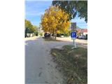
Continue driving until we reach the town of Somlóvásárhely. Signs direct right into the town, but we go left towards the former volcano and then park at one of the parking lots along the road.
Route description:
From the parking lot, we go north. The first markers can be seen on a tree in the form of a red-yellow stripe. Continue on asphalt, walking among vineyards. On this section, there is a characteristic large wall of basalt slabs on both sides of the path.
At the junction where the Taposó kút spring is located, go left, asphalt ends. A little further, go right and continue walking among vineyards, the path here is steeper. When we reach the second road, go right, after some more walking the road descends to a junction, where we go left east and start ascending again. Here, a path marked yellow plus from the starting point at Somlóvásárhely railway station joins from the right.
The path further leads us to the Szent Margit chapel, where there is also a parking lot. Here we finally leave the asphalt and go uphill among vineyards into the forest.
In the forest, the path becomes steeper, the ground more rocky, leading along the eastern slope of the volcano. When the path turns sharply left north, after one minute of further walking we reach a large meadow with no markers, but the path is clearly visible. Continuing through the forest, we also see a cross located a little below the summit.
When leaving the meadow, the path in the forest becomes steeper, the ground is interesting red soil. On this section, constructed wooden steps assist us.
When leaving the forest, we reach below the summit, where several benches and tables are placed. From here, one more minute of walking and we are at the top, where the Szent István kilátó viewpoint is located, open from Friday to Sunday.
Despite the relatively low elevation, the summit is an exceptional viewpoint due to its location in the heart of the plain.

Photos:
 1
1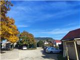 2
2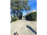 3
3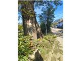 4
4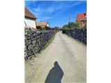 5
5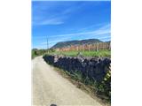 6
6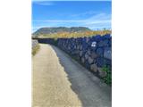 7
7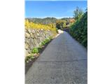 8
8 9
9 10
10 11
11 12
12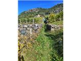 13
13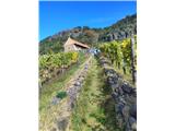 14
14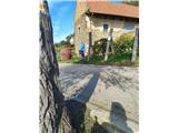 15
15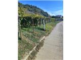 16
16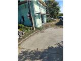 17
17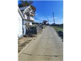 18
18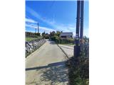 19
19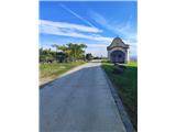 20
20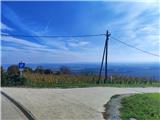 21
21 22
22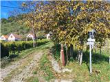 23
23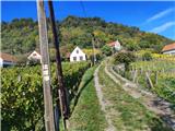 24
24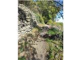 25
25 26
26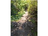 27
27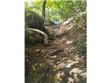 28
28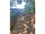 29
29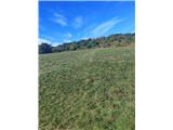 30
30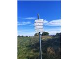 31
31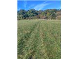 32
32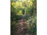 33
33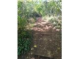 34
34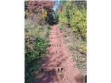 35
35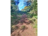 36
36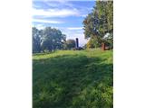 37
37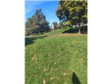 38
38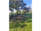 39
39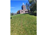 40
40
Discussion about the trip Somlóvásárhely - Somló
To post a comment you must log in:
If you do not yet have a username, you must first
register.