Sopot - Vrh Svetih Treh Kraljev (po cesti)
Starting point: Sopot (563 m)
| Latitude/Longitude: | 46,00073°N 14,15092°E |
| |
Route name: po cesti
Walking time: 1 h 45 min
Difficulty: easy marked way
Elevation gain: 321 m
Elevation difference along the route: 321 m
Map: Škofjeloško in Cerkljansko hribovje 1:50.000
Recommended equipment (summer):
Recommended equipment (winter):
Views: 4.085
 | 1 person like this post |
Access to starting point:
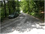
a) First we drive to Žiri, from where we follow the road towards Logatec. At the end of Žiri we cross the Sovra river, then continue along its left side (right bank). When the road towards Logatec after a good 5 km drive from Žiri crosses the Sovra river again, just before the bridge we leave the main road and continue straight. We drive only a few dozen meters more to the roadside parking lot, where we park.
b) Access is also possible from the Logatec side, from where we drive towards Žiri. Soon after the hamlet Brnikov Log we cross the Sovra river, then immediately after the bridge we turn sharply right and after a few dozen meters we park.
Route description:
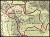
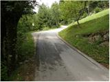
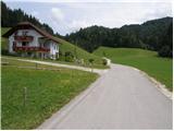
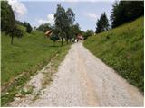
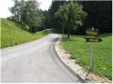
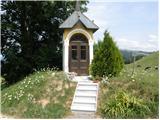
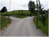
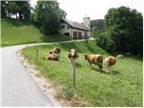
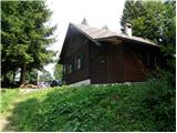
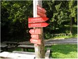
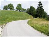
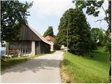
At the parking lot there is an intersection, where we turn onto the left upper road. The asphalted road, which initially rises quite steeply, soon brings us to an intersection, where we continue straight. The road on which the incline eases a bit further leads across a small hamlet of the village Hleviše. The road ahead rises through a small valley partly across meadows, partly through forest. Further on the road brings us to the next hamlet, where we continue in the direction of Vrh Svetih Treh Kraljev. The road then leads past a chapel into the village Vrh Svetih Treh Kraljev, where we continue right. This is followed by a gentle ascent past the fire station to the hut.
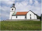
At the hut we turn onto the right road, which after a short ascent brings us out of the forest. This is followed by only a few minutes of walking on the increasingly scenic slope of the mountain. The summit on which the church stands is reached without difficulty in approximately ten minutes of gentle ascent from the mountain hut.
Photos:
 1
 2
 3
 4
 5
 6
 7
 8
 9
 10
 11
 12
 13
 14
Discussion about the trip Sopot - Vrh Svetih Treh Kraljev (po cesti)
|
| mirze18. 10. 2020 |
The real hiking tour (without walking on (asphalt) roads) is the marked trail shown on the "Nanos" map. Start is where described above, then the sign "Logaška pot" after a few meters of asphalt directs right to a well-marked mountain path. Asphalt appears only in front of some houses. We pass farms Pavle, Rodof and Čakovec and reach the road a few meters below the church. (Status: 18 October 2020.)
|
|
|
|
| GregorD21. 11. 2020 |
Today same starting point and same goal. For the trail I chose the one described by @mirze. Nice, short one. Moderate walk less than an hour.
|
|
|
To post a comment you must log in:
If you do not yet have a username, you must first
register.