Stavoli di Ajers - Monte Arvenis (circular path)
Starting point: Stavoli di Ajers (1240 m)
Route name: circular path
Walking time: 5 h 30 min
Difficulty: easy marked way
Elevation gain: 728 m
Elevation difference along the route: 730 m
Map: Tabacco 1:25000 St.13
Recommended equipment (summer):
Recommended equipment (winter): ice axe, crampons
Views: 1.310
 | 1 person like this post |
Access to starting point:
From the A23 highway, take the Carnia exit and head towards the settlement of Tolmezzo to the settlement of Villa Santina, here towards the place Sappada and after 3 km turn right towards Trava. In Trava, go left in the direction of Stavoli di Tarlessa (mountain asphalted road) to Stavoli di Ajers. Here we leave the car.
Route description:
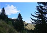
We start along a wide road by which cars also drive. To the mountain pasture or a little further, we will walk along path no. 166. Thus, after an hour and a half of walking, we arrive at the mountain pasture or alpine pasture Malga Claupa, where we can rest and also buy sheep cheese. The path further leads somewhat to the right, and to the top we have less than an hour of walking. We take the last steps before the summit more cautiously, due to the precipices.
From the top, we carefully descend to path no. 170. This is followed by a walk to the saddle, where path no. 157 joins.
We continue left, so that the Arvenis summit is always on our left side. The path ahead leads us past the alpine pasture Malga Arveni Alta, all the way to the junction along the wide alpine road, where we leave the path marked 157 and turn left, back towards Malga Claupa.
From here on, we return to the car along the already known path.

Along the route: Malga Claupa (1534m), Malga Arvenis Alta (1604m)
Photos:
 1
1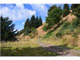 2
2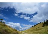 3
3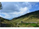 4
4 5
5 6
6 7
7 8
8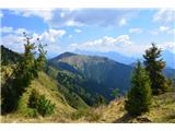 9
9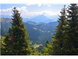 10
10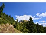 11
11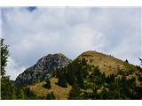 12
12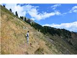 13
13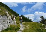 14
14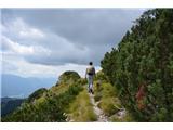 15
15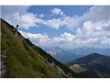 16
16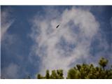 17
17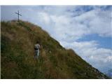 18
18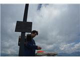 19
19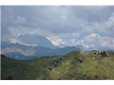 20
20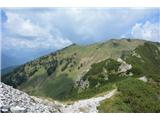 21
21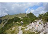 22
22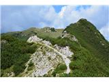 23
23 24
24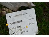 25
25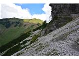 26
26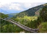 27
27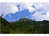 28
28
Discussion about the trip Stavoli di Ajers - Monte Arvenis (circular path)
To post a comment you must log in:
If you do not yet have a username, you must first
register.