Straßengel - Frauenkogel (path no. 1)
Starting point: Straßengel (450 m)
| Latitude/Longitude: | 47,11067°N 15,33977°E |
| |
Route name: path no. 1
Walking time: 45 min
Difficulty: easy marked way
Elevation gain: 233 m
Elevation difference along the route: 253 m
Map: https://www.bergfex.at
Recommended equipment (summer):
Recommended equipment (winter):
Views: 72
 | 1 person like this post |
Access to starting point:
From highway Maribor - Graz - Salzburg (A9) we go to the exit Gratkorn-Nord (2nd exit after the tunnel Plabutschtunnel). We turn right in the direction of Rein.
We drive through three roundabouts. In the first we choose the 1st exit, in the second the 2nd exit (straight), in the third again the 2nd exit (straight). After approximately 2.5 km, a crossroad follows (a gas station on the right), where we turn right.
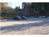
After 1 km, we leave the priority (straight) road and immediately turn left toward "Wallfahrtskirche Straßengel" (pilgrimage church). After a few hundred meters of steep hill, we arrive at the parking lot, where we can leave the car.
Route description:
From the parking lot, we head towards the nearby sign with a trail map, where the marked path number 1 begins in the direction of "Ruine Gösting". At the beginning, we walk along a wide macadam road. After approximately 300 meters, a trail blaze and signpost for "Frauenkogel" direct us to the right.
We follow a well-marked forest path, which higher up brings us back to the road. We cross it and continue along a steep forest path.
We reach a wider path, which quickly narrows again and, over quite steep terrain, brings us back to the road.
We continue along the road, first to the right, then immediately to the left, and after 50 meters, to the left again.
After a few hundred meters, we arrive at the indistinct peak of Frauenkogel, where a bench awaits for rest.
Photos:
 1
1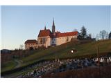 2
2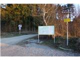 3
3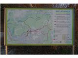 4
4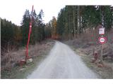 5
5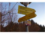 6
6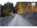 7
7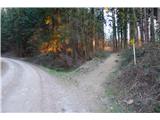 8
8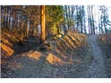 9
9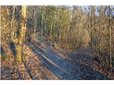 10
10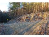 11
11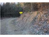 12
12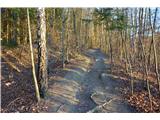 13
13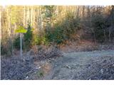 14
14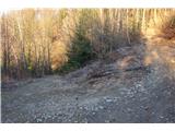 15
15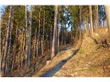 16
16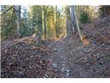 17
17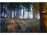 18
18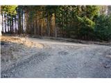 19
19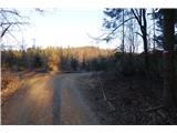 20
20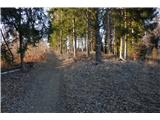 21
21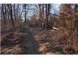 22
22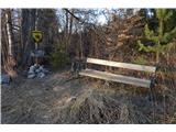 23
23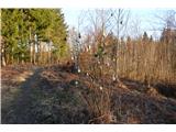 24
24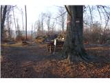 25
25 26
26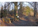 27
27 28
28
Discussion about the trip Straßengel - Frauenkogel (path no. 1)
To post a comment you must log in:
If you do not yet have a username, you must first
register.