Suha / Zauchen - Hochobir (Ojstrc) (via Božičev graben)
Starting point: Suha / Zauchen (509 m)
| Latitude/Longitude: | 46,51840°N 14,57720°E |
| |
Route name: via Božičev graben
Walking time: 5 h 5 min
Difficulty: partly demanding marked way
Elevation gain: 1630 m
Elevation difference along the route: 1650 m
Map: Karavanke - osrednji del 1:50.000
Recommended equipment (summer):
Recommended equipment (winter): ice axe, crampons
Views: 7.079
 | 1 person like this post |
Access to starting point:
A) From the Ljubljana-Jesenice highway, take the Kranj-east exit and follow the road ahead in the direction of Jezersko. From Zgornje Jezersko, continue driving over the alpine pass Jezerski vrh to Železna Kapla / Bad Eisenkappel and then through the valley of the river Bela to the settlement Suha / Zauchen. Here, at the junction before the bus stop, turn right and park in a suitable place by the river Bela.
B) From Štajerska, first drive to Mozirje, then continue driving towards Logarska dolina and later Pavličevo sedlo. From Pavličevo sedlo, descend to Bela / Bad Vellach, then continue driving towards Železna Kapla / Bad Eisenkappel and then through the valley of the river Bela to the settlement Suha / Zauchen, where at the junction before the bus stop turn right and park in a suitable place by the river Bela.
Route description:
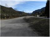
From the parking lot, first carefully cross the main road, then head to the road where we notice signs for "Hochobir". The path initially leads along an asphalt road ascending beside the Suha stream. After about half an hour of walking along the road, beside which there are a few individual farms, the path brings us to a small white-red barrier, beyond which we reach a small junction just before a small bridge. On the bridge is a yellow mountain signpost pointing straight ahead, but we continue right and ascend along a macadam road to the nearby house with a yellow facade. At the house the road makes a right turn, but right there we leave it and continue straight along a cart track that climbs under the power lines. A little higher the path enters the forest and gradually begins to ascend more steeply. A little higher we cross an asphalt road and continue the ascent along the marked mountain path No. 622. Ahead the path gradually leads onto very steep slopes, across which we ascend diagonally. The steep section, which is mainly dangerous for slipping due to leaves, ends after a few minutes, and higher up the path brings us back to the asphalt road.
Ahead the path crosses the aforementioned road several times, which leads to the Obir Dripstone Cave; we follow the marked path on a moderate ascent partly through forest, partly across panoramic slopes. Higher up the path brings us to an abandoned mine, and we continue along the ascending path, which higher up also follows forest roads. After a few minutes walking along the road, we leave it again and continue the ascent via marked shortcuts. After a while we return to the road and along it, with fine views of the pastures Svinja, Golica and Peca, walk to the pasture Zgornja Šefnarca. Along the macadam road we ascend along the edge of the pasture, and just a few minutes higher we arrive at a marked junction where the path through Kuneteov graben joins from the right.
Continue along the marked cart track in the direction of "Eisenkappler Hütte", which after a few more minutes of walking brings us to the panoramic saddle Počula, at the edge of which stands a chapel.
To the right of the chapel the path enters the forest and begins to ascend moderately to steeply. After a few minutes the steepness eases and the path takes us to the grazing areas of the pasture Na jezercah. Here continue somewhat to the right, then, when the view also opens towards Košuta, the path begins to descend moderately along a wide cart track. After a few minutes' descent we arrive at Kapelška koča / Eisenkappler Hütte.
From the hut continue along the marked path towards the summit Ojstrc / Hochobir. Soon above the hut the path enters the forest, through which it ascends for a while. Higher up, along which we notice a large number of educational-nature signs, the path levels out and leads us from the forest into the dwarf pine belt. A few more minutes of easy walking follow, and the path brings us to benches on the panoramic summit Kraguljše.
From Kraguljše, from which there is a fine view of Ojstrc, the path first descends slightly, then past a small animal watering hole brings us onto a broad ridge. Once on the ridge, the wide marked path turns left and then ascends diagonally to the left. After a short ascent we reach the pass "Kalte Quelle", after which the path continues diagonally ascending to the left for a while. Higher up it turns right and climbs along the edge of a small valley to the ruins of the former hut at 2040 m (Rainer Schutzhaus). Ahead the path climbs to a small saddle in the main Obir ridge, where the path from the saddle Šajda / Zell-Schaida joins from the left; we continue right along and beside the increasingly panoramic ridge, which is especially dangerous for slipping in snow, up to the 2139 m high summit.

Along the route: Planina Zgornja Šefnarca (1415m), Počula (1461m), Na Jezercah (1580m), Eisenkappler Hutte (1553m),
Kraguljše (1828m), Rainer Schutz Hütte (2040m)
Photos:
 1
1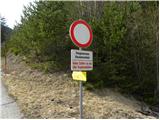 2
2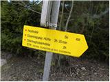 3
3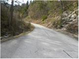 4
4 5
5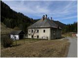 6
6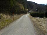 7
7 8
8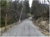 9
9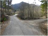 10
10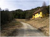 11
11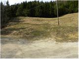 12
12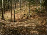 13
13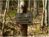 14
14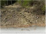 15
15 16
16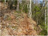 17
17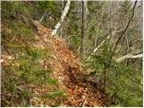 18
18 19
19 20
20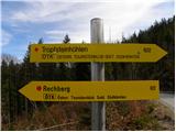 21
21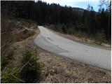 22
22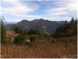 23
23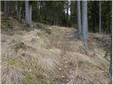 24
24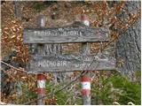 25
25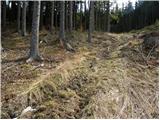 26
26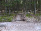 27
27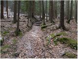 28
28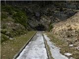 29
29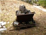 30
30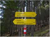 31
31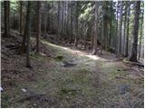 32
32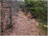 33
33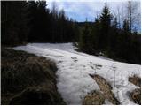 34
34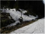 35
35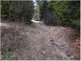 36
36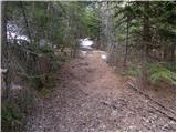 37
37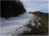 38
38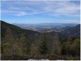 39
39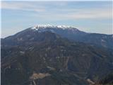 40
40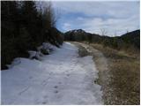 41
41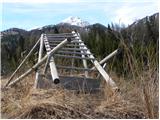 42
42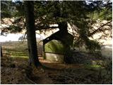 43
43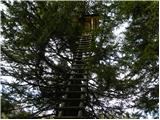 44
44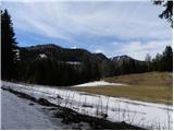 45
45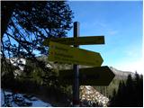 46
46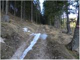 47
47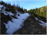 48
48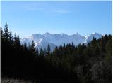 49
49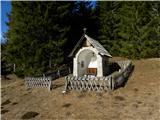 50
50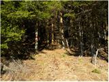 51
51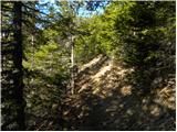 52
52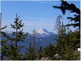 53
53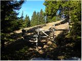 54
54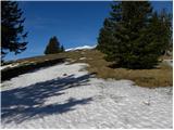 55
55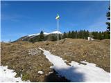 56
56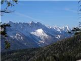 57
57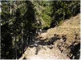 58
58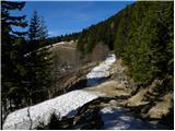 59
59 60
60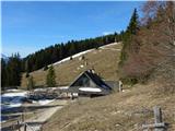 61
61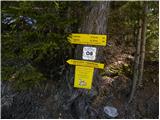 62
62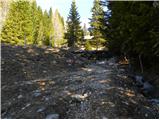 63
63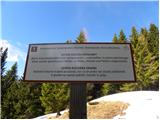 64
64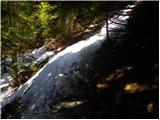 65
65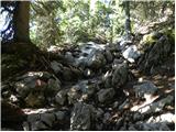 66
66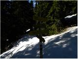 67
67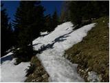 68
68 69
69 70
70 71
71 72
72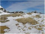 73
73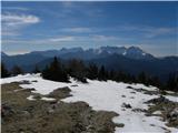 74
74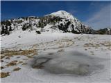 75
75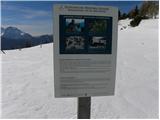 76
76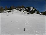 77
77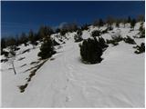 78
78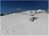 79
79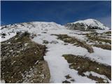 80
80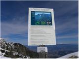 81
81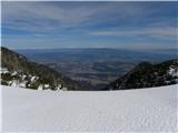 82
82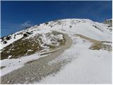 83
83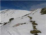 84
84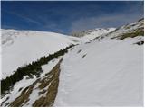 85
85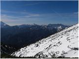 86
86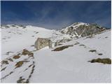 87
87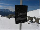 88
88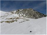 89
89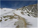 90
90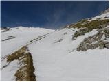 91
91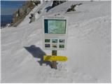 92
92 93
93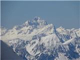 94
94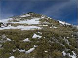 95
95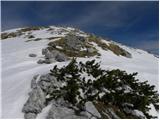 96
96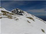 97
97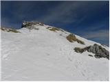 98
98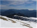 99
99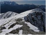 100
100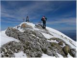 101
101 102
102 103
103 104
104
Discussion about the trip Suha / Zauchen - Hochobir (Ojstrc) (via Božičev graben)
To post a comment you must log in:
If you do not yet have a username, you must first
register.