Svino - Monte Mataiur/Matajur (slovenska smer)
Starting point: Svino (250 m)
| Latitude/Longitude: | 46,24240°N 13,56900°E |
| |
Route name: slovenska smer
Walking time: 4 h
Difficulty: easy marked way
Elevation gain: 1392 m
Elevation difference along the route: 1400 m
Map: Julijske Alpe - zahodni del 1:50.000
Recommended equipment (summer):
Recommended equipment (winter): ice axe, crampons
Views: 4.301
 | 1 person like this post |
Access to starting point:
a) From the direction of Tolmin: From Tolmin we drive towards Kobarid. Before the town center itself we turn left onto the turnoff for the village of Svino. We follow this road to the point where it starts to ascend, and park at a suitable spot by the road. There are no designated parking spaces in the village of Svino itself, so we do not continue driving to the village.
b) From the direction of Bovec: From Bovec we drive towards Tolmin. On the bypass before Kobarid we continue right in the direction of the international border crossing Robič and the town center. Before the center of Kobarid we turn left towards the village of Svino, then follow the road to the point where it starts to ascend, and park at a suitable spot by it. There are no designated parking spaces in the village.
c) From the direction of the border crossing Robič: From the former border crossing Robič we drive towards Kobarid. At the intersection in Kobarid we continue right in the direction of Tolmin, then after a few dozen meters turn right towards the village of Svino. We park at a suitable spot by the road, before it ascends to the village itself, as there are no designated parking spaces there.
Route description:
From the starting point we continue along the road where we parked, and after a good five minutes of walking we arrive in the village of Svino. Here we notice signs for Matajur, which direct us left (right Sužid). We continue left between the houses, where the signs for Matajur are initially less noticeable. The correct path leads somewhat more to the left and takes us past the houses across pastures, after which we enter the forest. Further on the markings become more frequent, so orientation is also easier.
The path then begins to ascend more steeply and after about half an hour of walking brings us to a wider cart track that comes from the village of Sužid. For some time we ascend along the cart track, which has quite a few junctions, but the path is well marked. Before a dilapidated old military hut the markings for Matajur direct us left upwards. Here the cart track turns into a steep mule track that ascends across a rather steep slope, higher up the terrain levels out somewhat. The path then brings us to a newer forest road, which we merely cross. On the other side we climb a few steps and already see the shepherd's huts on Svinska planina before us.
On the mountain pasture we notice signs for the direction left (Idrska planina) and right (planina Sužid). There is no sign for Matajur at this point, but the path ahead is marked. We find the continuation of the path among the huts on the pasture, from where it ascends moderately along a smaller indistinct valley. Despite the markings the trail is in places less visible and somewhat overgrown in spots. After about 15 minutes of walking from the pasture we reach a water reservoir, near which we notice mountain direction signs. Here we continue straight in the direction of Matajur along a still less visible but marked path. The path leads us across an overgrown meadow, above which we join a well-trodden path that comes from the villages of Avsa or Livka.
We head right towards Matajur. A few minutes of traversing ascent follow, then we already arrive at the next junction below Glava, where we leave the usual path to Matajur and continue straight in the direction of Visoka glava (left leads the usual path to Matajur). A fairly gentle walk follows along a path that runs north of the eastern Matajur ridge and is, except in dry periods, quite muddy. As we approach the northern ridge of Matajur, we cross the state border almost imperceptibly, then in a traversing ascent to the right reach the mentioned ridge (Sedlo). Here we join a better-trodden path, which we follow to the left. For a short time we still ascend gently to moderately, then the path becomes quite steep and in wet conditions also quite slippery. After about 10 minutes the trail levels out, then in a moderate ascent and with beautiful views we reach the summit of Matajur.
Starting point - Svinska planina - 2:40, Svinska planina - Matajur 1:20.

Photos:
 1
1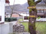 2
2 3
3 4
4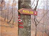 5
5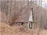 6
6 7
7 8
8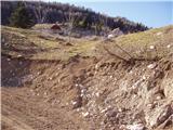 9
9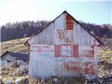 10
10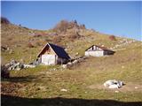 11
11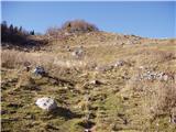 12
12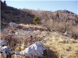 13
13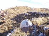 14
14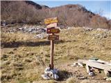 15
15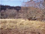 16
16 17
17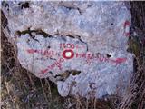 18
18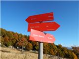 19
19 20
20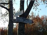 21
21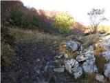 22
22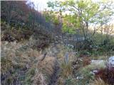 23
23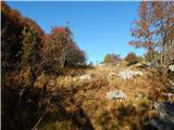 24
24 25
25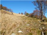 26
26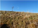 27
27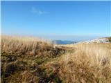 28
28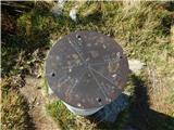 29
29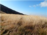 30
30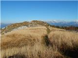 31
31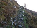 32
32 33
33 34
34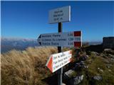 35
35 36
36 37
37
Discussion about the trip Svino - Monte Mataiur/Matajur (slovenska smer)
To post a comment you must log in:
If you do not yet have a username, you must first
register.