Tam na Meji - Rifugio A.N.A. Monteaperta
Starting point: Tam na Meji (850 m)
| Latitude/Longitude: | 46,30698°N 13,35112°E |
| |
Walking time: 2 h 10 min
Difficulty: easy marked way
Elevation gain: 615 m
Elevation difference along the route: 620 m
Map: Tabacco 26 1:25.000
Recommended equipment (summer):
Recommended equipment (winter): ice axe, crampons
Views: 159
 | 2 people like this post |
Access to starting point:
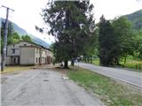
From the Kobarid – Bovec road in the village Žaga we turn towards the border crossing Učja. On the Italian side at the intersection where the road branches right towards the Karnica saddle and Resia, we continue left or straight in the direction of the town Videm/Udine. When the road crosses Beli potok / Rio Bianco, we follow it for a few hundred meters, then the road levels out and on the right side we notice a larger building. On the right where a short road branches off we park. We do not park in front of the mentioned private building where it is marked that parking is prohibited. The starting point is located less than a kilometer before the pass Tam na Meji / Passo Tanamea.
Route description:
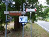
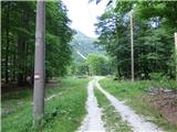
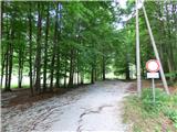
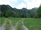
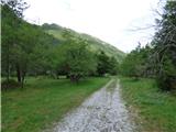
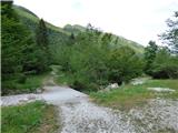
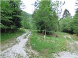
Near the starting point we will notice signs for trail no. 711 which we follow. First we cross the road and head onto the cart track closed to traffic. We continue on the gentle cart track which we follow for about 200 meters then turn left onto the cart track along which the markings continue. When we get close to the Meja stream (Torrente Mea) we continue right, then soon cross the stream and reach a junction.
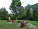
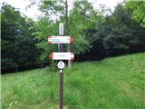
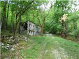
Right along the stream continues the circular path Percorso Fuori, but we turn left onto the cart track along which we can already see signs and information boards. At the signs we continue straight in the direction of the shelter Ricovero ANA and the Križ saddle. Here the path turns into the forest and first leads past the dilapidated hut Casera di Menon. For a short time we still follow the poorer cart track, which crosses the torrent bed and brings us to a junction. Here we leave the cart track and turn left onto a narrower path for the signs Rifugio ANA.
For some time we then climb quite steeply through the forest, then reach a marked junction. Straight ahead continues the path towards the Križ saddle (Sella Kriz), but we turn sharply left in the direction of the hut Rifugio ANA.
From the junction the path becomes somewhat less steep and runs in an easterly direction. The path then brings us to a junction where right upwards leads the path marked with blue dots, but we continue straight ahead and follow the usual red-white markings. For some time we still cross the slopes to the east, then reach signs where the path turns decisively to the right. At this place there is also a less visible junction, straight ahead continues an unmarked path.
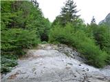
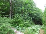
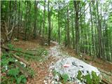
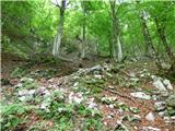
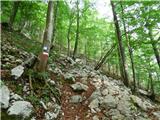
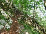
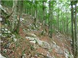
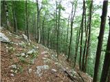
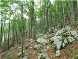
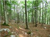
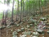
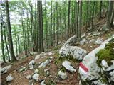
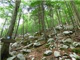
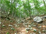
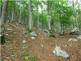
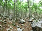
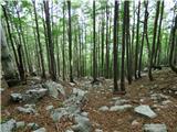
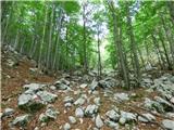
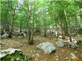
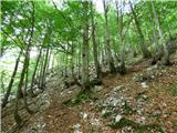
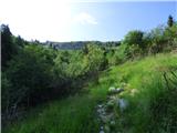
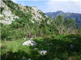
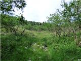
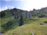
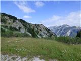
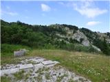
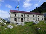
We continue on the marked path, which starts to climb somewhat more steeply again. Here we climb through the forest in which there are many rocks, so the trail is occasionally somewhat less obvious. However, there are many markings along the path, so there are no major problems with orientation. For some more time we climb through the forest, then the path brings us to slopes mostly overgrown with grass and shrubs. Here beautiful views of the surrounding peaks start to open up. Such a path then soon brings us to the hut Rifugio A.N.A Monteaperta or in Slovenian shelter Viškoroša.

Photos:
 1
 2
 3
 4
 5
 6
 7
 8
 9
 10
 11
 12
 13
 14
 15
 16
 17
 18
 19
 20
 21
 22
 23
 24
 25
 26
 27
 28
 29
 30
 31
 32
 33
 34
 35
 36
 37
 38
 39
Discussion about the trip Tam na Meji - Rifugio A.N.A. Monteaperta
To post a comment you must log in:
If you do not yet have a username, you must first
register.