Topla (Burjak) - Mala Peca
Starting point: Topla (Burjak) (830 m)
| Latitude/Longitude: | 46,47340°N 14,78200°E |
| |
Walking time: 2 h 30 min
Difficulty: easy marked way
Elevation gain: 901 m
Elevation difference along the route: 901 m
Map: Koroška 1:50.000
Recommended equipment (summer):
Recommended equipment (winter): ice axe, crampons
Views: 839
 | 1 person like this post |
Access to starting point:
a) We drive to Črna na Koroškem, where from the roundabout in the center of the town we take the exit towards Koprivna. At the next intersection we go slightly right, so that we cross the Meža river via a bridge, and then continue driving along it. Črna na Koroškem then ends, and we continue along the main road to TIC Topla, where we turn right into the Topla valley. We continue driving through the Topla valley, where the road makes two hairpin bends, then a little further from the climbing area in Topla (Burjakove peči climbing area) we emerge from the forest, and we drive to a small chapel located near the Burjak farm. We park in a suitable place nearby.
b) We drive to Solčava, then follow the signs for Črna na Koroškem. This is followed by an ascent to the Spodnje Sleme pass, then a descent towards Koprivna. Lower down we drive along the Meža river and continue driving in the direction of Črna na Koroškem. When the road to the Topla valley branches off to the left, we continue left, then continue driving through the Topla valley, where the road makes two hairpin bends, then a little further from the climbing area in Topla (Burjakove peči climbing area) we emerge from the forest, and we drive to a small chapel located near the Burjak farm. We park in a suitable place nearby.
Route description:
Warning: The path is no longer in the PZS register and is no longer maintained.
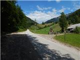
At the chapel we continue right onto a side road, which takes us across a bridge to the Burjak farm. We bypass the building on the right side and then begin to ascend across the meadows. Higher up the path leads us to the next farm, and a little further we reach an asphalt road leading to the nearby Florin farm. Behind the houses the asphalt ends, and the markings direct us right onto a cart track, where we also see mountain signs for Dom na Peci. We continue along the initially still scenic cart track, then the path enters the forest. We soon leave the cart track, as the markings direct us onto a footpath, which higher up crosses the cart track several more times. Higher up we walk through the forest for quite some time and cross an old, partly already collapsed pasture fence, after which we step onto the abandoned Javorje alpine pasture, which is today overgrown with ferns. On the pasture, where we cross the cart track again, there is a hunting hut, and we continue along an overgrown trail that bypasses the mentioned hut on the right side. Above the hut we cross the cart track two more times, then continue along a trail no longer overgrown with ferns but with tall grasses. Orientation in this section is quite difficult, and we mainly ascend upwards and slightly to the right. At the upper part of the overgrown section we notice a large wooden marking, and at it the path goes right into the forest, where it becomes easier to follow. This is followed by an ascent through the forest, and behind the collapsed hut we step onto the cart track again, which we cross several more times, and higher up the marked path leads us slightly left of it. When the path higher up leads us to a wooden log cabin, we bypass it on the right side and continue ascending along a fairly overgrown path to the marked path that starts at the mine in Topla and leads towards Dom na Peci.
We follow the well-trodden marked path to the right, which quickly levels out and leads us across a larger clearing to a marked junction.
We continue left in the direction of Mala Peca (straight ahead Dom na Peci, right the Kralja Matjaža cave, both approximately 5 minutes) onto the path, along which we ascend in a few minutes to the spacious summit of Mala Peca.
Burjak - planina Javorje 1:30, planina Javorje - Mala Peca 1:00.
The description and photos refer to the situation in July 2018 (the last 5 photos are more recent).

Along the route: Florin (930m), Planina Javorje (1330m)
Photos:
 1
1 2
2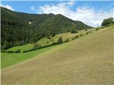 3
3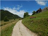 4
4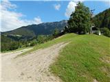 5
5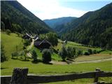 6
6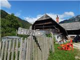 7
7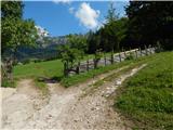 8
8 9
9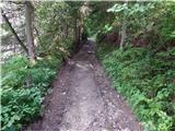 10
10 11
11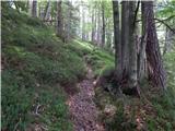 12
12 13
13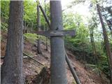 14
14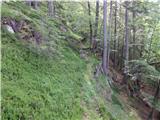 15
15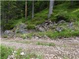 16
16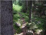 17
17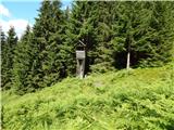 18
18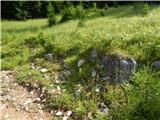 19
19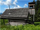 20
20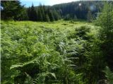 21
21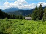 22
22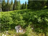 23
23 24
24 25
25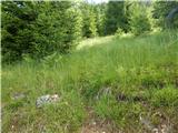 26
26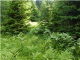 27
27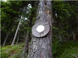 28
28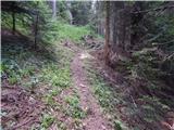 29
29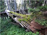 30
30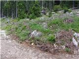 31
31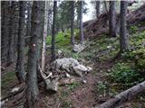 32
32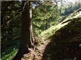 33
33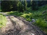 34
34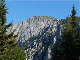 35
35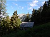 36
36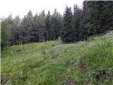 37
37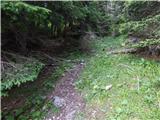 38
38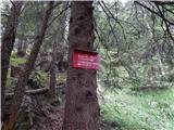 39
39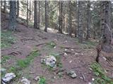 40
40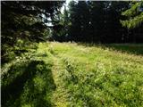 41
41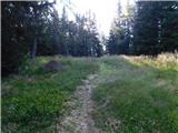 42
42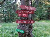 43
43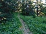 44
44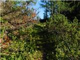 45
45 46
46
Discussion about the trip Topla (Burjak) - Mala Peca
To post a comment you must log in:
If you do not yet have a username, you must first
register.