Trebuša (plinska postaja) - Koželj
Starting point: Trebuša (plinska postaja) (405 m)
Walking time: 30 min
Difficulty: easy marked way
Elevation gain: 185 m
Elevation difference along the route: 185 m
Map: Šaleška dolina z okolico 1:50000
Recommended equipment (summer):
Recommended equipment (winter):
Views: 2.943
 | 1 person like this post |
Access to starting point:
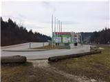
A) From the highway Ljubljana - Maribor we go to the exit Žalec, and then we continue driving in the direction of Velenje. The starting point of our path is still before Velenje, namely at the beginning of the shopping center Velenjka, at the gas station Trebuša. Parking options are at the shopping center or at the nearby gas station Petrol on the right side of the road.
B) From Koroška we drive through Slovenj Gradec towards Velenje. In the main roundabout (1st roundabout) in Velenje, below the ski jumping hill, we continue in the direction of Celje - Ljubljana (4th exit). At the next roundabout we drive towards the shopping center Velenjka and we park at the very end of the shopping center, or we continue straight and we park at the nearby gas station Petrol on the left side of the road.
Route description:
The starting point of our path is at the very beginning of the shopping center Velenjka, viewed from the direction of Celje towards Velenje, at the gas station Trebuša. We go over a small bridge and turn left. We can already see from afar at the edge of the forest a standing descriptive board. The board describes the musician Fran Korun Koželjski and shows the course of three marked paths on Koželj.
We continue right into the forest. We follow the yellow-green markings. First we walk on a wide forest path towards the foot of the slope and then to the left we cross the slope. The steep path brings us to the ridge. We continue right, to the left leads a path to Mali Koželj.
From here a steep zig-zag path along the ridge brings us to the highest point of Koželj, at 590 m. After approximately 100 m we come to tables and benches and a box with the logbook.
Here a wonderful view opens up on Velenje Castle, the town of Velenje and on the hills that surround it on the north and west. Especially prominent is the view on Uršlja gora and Peca. The path from the gas station Trebuša is the second most visited path on Koželj, but at the same time also the steepest.

Photos:
 1
1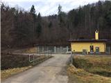 2
2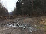 3
3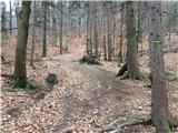 4
4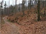 5
5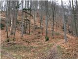 6
6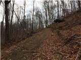 7
7 8
8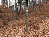 9
9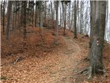 10
10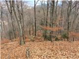 11
11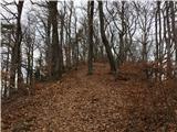 12
12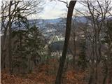 13
13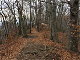 14
14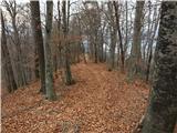 15
15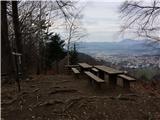 16
16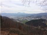 17
17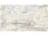 18
18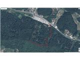 19
19
Discussion about the trip Trebuša (plinska postaja) - Koželj
To post a comment you must log in:
If you do not yet have a username, you must first
register.