Trnovska vas - Grmada (at Vurberk) - southeastern peak
Starting point: Trnovska vas (247 m)
| Latitude/Longitude: | 46,52015°N 15,88555°E |
| |
Walking time: 2 h 55 min
Difficulty: easy marked way, easy unmarked way
Elevation gain: 210 m
Elevation difference along the route: 450 m
Map:
Recommended equipment (summer):
Recommended equipment (winter): ice axe, crampons
Views: 202
 | 1 person like this post |
Access to starting point:
a) Leave the Pomurska motorway at the Sveta Trojica exit, then follow the signs for Ptuj. When arriving in the settlement Trnovska vas, turn right towards the cemetery, and shortly after the intersection park at the marked parking lot.
b) Drive to Ptuj, then follow the signs for Gornja Radgono and Sveta Trojica. In the settlement Trnovska vas at the roundabout notice the red hiking signposts, from the roundabout continue "straight", then go left towards the cemetery, and shortly after the intersection park at the marked parking lot.
Route description:
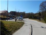
From the parking lot return to the main road, then continue right to the nearby roundabout, where we notice the first markings and also the first hiking signposts. Continue right towards Vurberk (left Vitomarci), passing first by a few houses, after which Trnovska vas ends. The path ahead leads along the sidewalk and cycle path, from the mentioned path go right into the forest after the memorial plaque, where markings direct us. Walk through the forest for a few minutes, then return to the cycle path, along which we ascend to the settlement Bišečki Vrh and also to the settlement Trnovski Vrh. Continue past a few houses, when the cycle path turns right, go left onto the side road along which markings continue. There follow some intersections, where we follow the markings; when the road makes a left bend go right onto the side gravel road. There follows some descent through the forest, upon leaving the forest arrive at the intersection by the meadow, where go left (right Črmlja). There follows a gentle ascent, at the hunting observation post go right onto the cart track which begins to ascend through the forest, along which markings are sparser. Higher the path levels and turns slightly right, briefly crossing the slopes to the right, then from the cart track go left and ascend to the asphalt road, follow it left uphill, which quickly brings us to the intersection where we go right.
Go right also at the next intersection, then ascend further to the nearby transmitter located on the 386 m high peak.
From here there follows descent along the asphalt road, descending more than 100 elevation meters. In the valley upon reaching a somewhat wider road go right, after the bus stop go left onto the side road towards Gomila and Vurberk.
Continue a few minutes through the forest, upon leaving the forest arrive in the settlement Gomila, from where beautiful views open to the surroundings. Higher the asphalt road levels, we leave it at a small intersection and continue straight onto the poorer gravel road, along which we first ascend, then past a few houses in gentle ascent cross the slopes to the right. When houses end go right and continue along the gravel road with the path, which quickly brings us to the asphalt road where we go straight. Immediately after the intersection arrive in the settlement Krčevina pri Vurberku, at the bus stop go straight. After the settlement asphalt ends, we continue the path along the gravel road which first descends slightly, then ascends to the marked junction at Črna tabla.
Continue left towards Grmada and Vurberk and along the asphalt road with the path, which we soon leave continuing left onto the gravel road, from which soon go right onto the footpath. The path first ascends gently, then reaches the ridge where it becomes steep. Below the summit the path levels and we arrive at the logbook box located just a few steps below the tower on Grmada.
From the northwest peak of Grmada descend along the marked path towards Vurberk, upon reaching the saddle between both Grmadas the marked path turns slightly right and continues descending, we continue straight along the unmarked cart track. There follows a short steep ascent, when the path levels reach the indistinct southeast peak of Grmada.
Trnovska vas - northwest peak of Grmada 2:45, northwest peak of Grmada - southeast peak of Grmada 0:10.
Description and photos refer to the state in March 2022.

Photos:
 1
1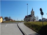 2
2 3
3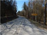 4
4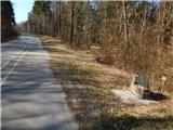 5
5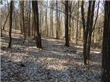 6
6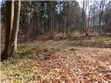 7
7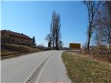 8
8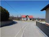 9
9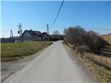 10
10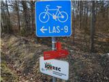 11
11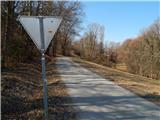 12
12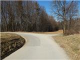 13
13 14
14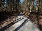 15
15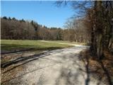 16
16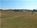 17
17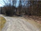 18
18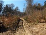 19
19 20
20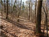 21
21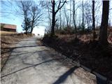 22
22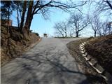 23
23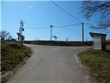 24
24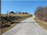 25
25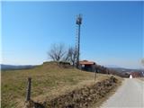 26
26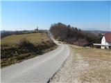 27
27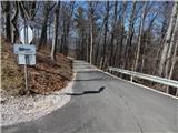 28
28 29
29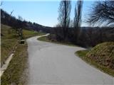 30
30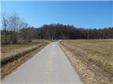 31
31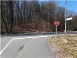 32
32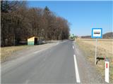 33
33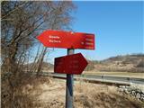 34
34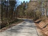 35
35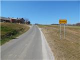 36
36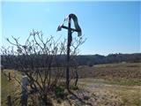 37
37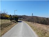 38
38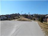 39
39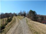 40
40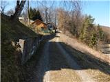 41
41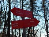 42
42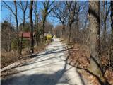 43
43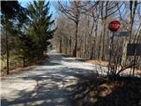 44
44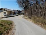 45
45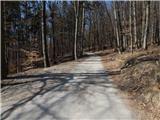 46
46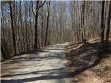 47
47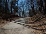 48
48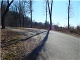 49
49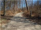 50
50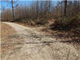 51
51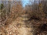 52
52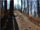 53
53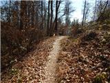 54
54 55
55 56
56 57
57 58
58 59
59 60
60 61
61 62
62 63
63 64
64
Discussion about the trip Trnovska vas - Grmada (at Vurberk) - southeastern peak
To post a comment you must log in:
If you do not yet have a username, you must first
register.