Tržič - Zavetišče v Gozdu
Starting point: Tržič (520 m)
| Latitude/Longitude: | 46,35450°N 14,29860°E |
| |
Walking time: 1 h 15 min
Difficulty: easy marked way
Elevation gain: 371 m
Elevation difference along the route: 371 m
Map: Karavanke - osrednji del 1:50.000
Recommended equipment (summer):
Recommended equipment (winter): ice axe, crampons
Views: 2.110
 | 1 person like this post |
Access to starting point:
A) From the Ljubljana - Jesenice highway, take the Naklo exit, then continue driving towards the settlements Žeje, Spodnje and Zgornje Duplje to the settlement Retnje, where we turn right towards the settlement Križe. At the crossroad a little after the parish church, continue left in the direction of Pristava, and when Pristava ends we arrive in Tržič. Park approximately 100 meters ahead on the parking lot on the left side of the road.
B) From the Jesenice - Ljubljana highway, take the Podbrezje exit, then continue driving towards Ljubelj and Tržič. Before the Petrol gas station in Bistrica pri Tržiču, turn right, then at the traffic light right towards Križe. Follows driving on a somewhat narrower road, then, when the road widens at the crossroad, continue left in the direction of Pristava. In Pristava from a somewhat larger crossroad at the stop sign, continue left in the direction of Pristava, and when Pristava ends we arrive in Tržič. Park approximately 100 meters ahead on the parking lot on the left side of the road.
Route description:
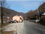
From the parking lot we continue a few dozen steps along the road, then continue right onto a side road in the direction of Gozd and Kriška gora. A little further ahead, before the last house we leave the road and continue the ascent left onto a marked footpath, which begins to ascend through the forest. Further on follow several junctions, where we follow the marked path, higher up we reach a macadam road, which we follow to the right. We quickly leave the road as the signs for Gozd and Kriška gora direct us left again onto the mountain path. Follows a few minutes of ascent, then the path temporarily levels out and brings us to a cart track, along which we continue the ascent. Follows walking along the cart track, where at the junctions we follow the blazes, and higher from the cart track a path branches off to the left to the NOB Čevdrci monument, while we continue straight on the marked path. Follows a few minutes of flat path, then to the left we cross the asphalt road that leads to the village Gozd. Further we walk on a poorer macadam road, which after the water trough changes into an ascending cart track. The cart track higher temporarily touches the asphalt road, and we continue right off the road. Follows still a few minutes of gentle ascent through the forest and the path brings us to Zavetišče v Gozdu.
Description and pictures refer to the condition in 2017 (January).

Photos:
 1
1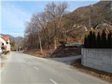 2
2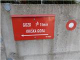 3
3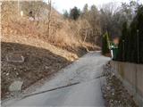 4
4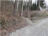 5
5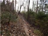 6
6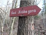 7
7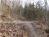 8
8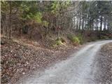 9
9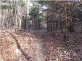 10
10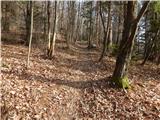 11
11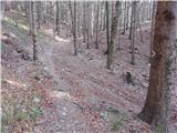 12
12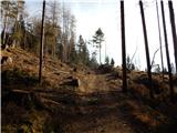 13
13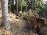 14
14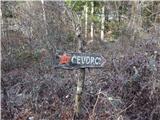 15
15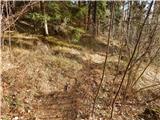 16
16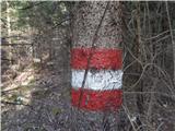 17
17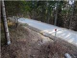 18
18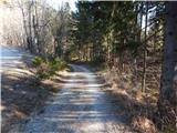 19
19 20
20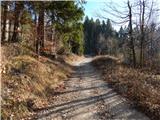 21
21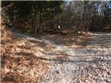 22
22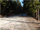 23
23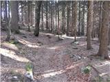 24
24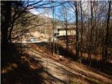 25
25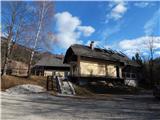 26
26
Discussion about the trip Tržič - Zavetišče v Gozdu
To post a comment you must log in:
If you do not yet have a username, you must first
register.