Starting point: Turški klanec (1101 m)
| Latitude/Longitude: | 45,98880°N 13,81460°E |
| |
Walking time: 1 h 30 min
Difficulty: easy marked way
Elevation gain: 309 m
Elevation difference along the route: 350 m
Map: Goriška 1:50.000
Recommended equipment (summer):
Recommended equipment (winter): ice axe, crampons
Views: 12.587
 | 1 person like this post |
Access to starting point:
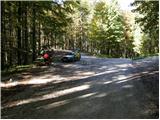
First, we drive to Lokve (to here from Nova Gorica or Most na Soči), and then we continue driving in the direction of Predmeja. Soon after the road goes into the forest, we will get to a crossroad, by which we notice a bench, a table and some waste containers. Here we park at an appropriate place by the crossroad.
Access from the direction of Predmeja is also possible. In this case, we drive along the road in the direction of the village Lokve, and a little after we have driven through Mala Lazna we pay attention, because we will soon get to a crossroad by which we park (the crossroad is located at the road marker between 8 and 8.5 km).
Route description:
Just a few meters away from the table and the bench, by a side road we will notice signs for Mrzovec, which direct us left onto a cart track. We ascend the mentioned cart track, which soon splits into two parts. We continue on the right cart track, following it only 5 meters, then on a tree we notice faded signs, which direct us left onto a somewhat narrower but quite steep cart track. After a few minutes of ascent, the path flattens, and we continue right on the marked path, which proceeds with some shorter ascents and descents. The path ahead runs through dense forest, then moderately ascends and brings us to the nearby forest road. We follow the road left, walking along it to the first crossroad, where the blazes direct us right onto a narrower and grass-overgrown road. We walk along the mentioned road to its end, then on the left side of the turning area we notice the start of the forest path leading to Mrzovec. We head onto the mentioned footpath, which first moderately, then ever more steeply ascends.
Next follows approximately half an hour of very steep ascent, then the path brings us to a quite overgrown cart track, which we follow to the right. Along the mentioned cart track we walk only a short time, as the blazes then direct us slightly left onto a footpath, which begins to ascend toward the summit of Mrzovec. After less than 5 minutes of further walking, we step out of the forest onto an overgrown clearing, across which we just stroll to the trigonometric tower on the summit of Mrzovec.

Photos:
 1
1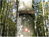 2
2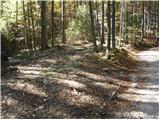 3
3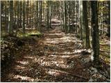 4
4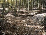 5
5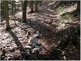 6
6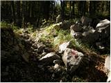 7
7 8
8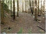 9
9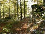 10
10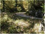 11
11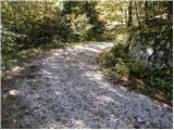 12
12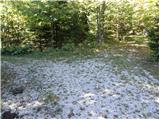 13
13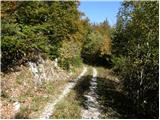 14
14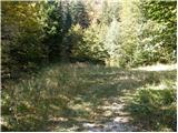 15
15 16
16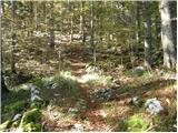 17
17 18
18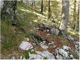 19
19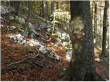 20
20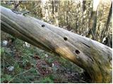 21
21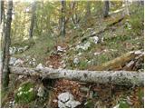 22
22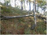 23
23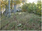 24
24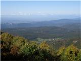 25
25 26
26 27
27 28
28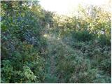 29
29 30
30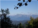 31
31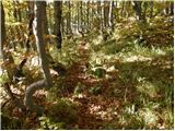 32
32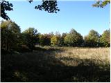 33
33 34
34 35
35
Discussion about the trip Turški klanec - Mrzovec
|
| klemen7329. 10. 2010 |
... that on the 25th picture is still the Trnovska planota. Banjša is a bit further to the right.
|
|
|
|
| kiki8024. 06. 2015 |
I'd like to supplement the path description from Lokev. The bench, table and containers mentioned in the description are not right where the road enters the forest, but you need to drive about a kilometer into the forest towards Predmeja by car. Alternatively, you can leave the car at the larger parking lot before the forest, which also has a bench, table and containers, and walk that kilometer on foot.
|
|
|
To post a comment you must log in:
If you do not yet have a username, you must first
register.