Ukanc - Meja (via Žagarjev graben and Konjsko sedlo)
Starting point: Ukanc (570 m)
| Latitude/Longitude: | 46,27580°N 13,83580°E |
| |
Route name: via Žagarjev graben and Konjsko sedlo
Walking time: 5 h 20 min
Difficulty: easy pathless terrain
Elevation gain: 1426 m
Elevation difference along the route: 1520 m
Map: TNP 1:50.000
Recommended equipment (summer): helmet
Recommended equipment (winter): helmet, ice axe, crampons
Views: 473
 | 1 person like this post |
Access to starting point:
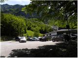
A) From the highway Ljubljana - Jesenice, we take the Lesce exit and follow the road towards Bled, Bohinjska Bistrica, Ribčev Laz and Vogel ski centre. The path starts at a large well-maintained parking lot at the bottom station of the cableway on Vogel.
B) From Primorska, we first drive to Bohinjska Bistrica, and then we follow the signs for Lake Bohinj and Vogel. The path starts at the parking lot at the bottom station of the cable car on Vogel.
Route description:
Below the bottom station of the cableway on Vogel we notice a forest road (in winter a ski slope), which starts moderately ascending towards the west. The path ahead continues gently to moderately ascending for some time, then brings us out of the forest onto a panoramic slope, from where a beautiful view opens up on Komarča, Pršivec and Lake Bohinj.
After that the road starts turning more and more to the left and becoming steeper and steeper. Higher we continue on a relatively steep ski slope, along which a worse and gravelly transport-rescue road leads us all the time. After a while the road or ski slope temporarily levels out, then turns right and continues along the lower part of the Žagarjev graben valley. On the part where the road or ski slope slightly descends and brings us into a small valley, we leave it and a few steps to the right in the forest notice an old mule track along which we continue parallel to the ski slope.
The path ahead leads us along the mule track, beside which we notice quite frequent older blazes; at a smaller junction we go right in the direction of Globoko. The path soon turns back to the left and we gradually start ascending transversely across steep slopes, where the mule track is damaged in several places, but there are no more difficult spots. When the slope flattens somewhat, the signs for Globoko and Vogel direct us left from the mule track, where we quickly arrive in a small valley (straight ahead the mule track, which reaches the marked path Ski hotel Vogel - Dom na Komni only a little before we reach it along the path described further on, but parts of it are completely overgrown and difficult to pass), where the trail starts to disappear among lush vegetation. Here at first it is somewhat more difficult to follow the old blazes and the trail, which can be seen under the overgrown section. The direction of the further ascent is fairly similar, namely we mainly ascend along or slightly left of the Žagarjev graben valley. Higher up the terrain becomes somewhat less overgrown, and it is easier to follow the blazes and trail. After the cairn on the rock we join a maintained and better-trodden path leading from the Ski hotel on Vogel towards Dom na Komni.
We follow the mentioned path to the right; after a short ascent we reach a marked junction.
We continue straight in the direction of Komna (left Globoko pass), where after a few minutes of further ascent we reach the plateau-like terrain south of Konjski vrh (1558 m), from where we descend along a pleasant little trail towards a smaller valley, where on the left we notice an interesting swamp that turns into a small lake during heavier rain. We continue for a few minutes along the valley; at an indistinct spur the path turns slightly to the left and ascends the slope of Rušnati vrh or Meja. Still before the slope becomes steeper, the path turns sharply to the right, then ascends transversely all the way to Konjsko sedlo, which we reach with fine views of Bohinjski Migovec (1896 m) and neighbouring Konjski vrh (1739 m).
From Konjsko sedlo, located below the summit of nearly 2000 m high Meja, we continue left following the signs »Vogel«. The path then crosses the slopes below the summit of Meja (1996 m). When we start approaching the neighbouring summit – Rušnati vrh (1915 m), the slopes above us will become somewhat less steep. Here we leave the marked path and start ascending the scree to the right upwards. The slope becomes quite steep, but we reach the ridge without climbing slightly right of Rušnati vrh. On the ridge, where we come onto an unmarked little trail, we continue to the right (left Rušnati vrh). The path ahead first follows the ridge, but in the final part it moves away from the ridge to the south side and ascends along the rocky ridge towards the summit.
Ukanc - Konjsko sedlo 3:50, Konjsko sedlo - Meja 1:30.

Along the route: Konjsko sedlo (1782m)
Photos:
 1
1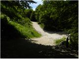 2
2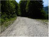 3
3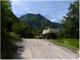 4
4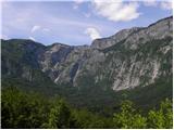 5
5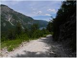 6
6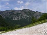 7
7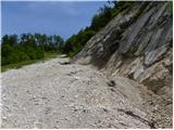 8
8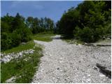 9
9 10
10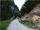 11
11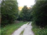 12
12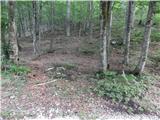 13
13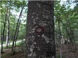 14
14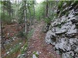 15
15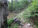 16
16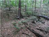 17
17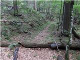 18
18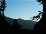 19
19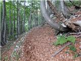 20
20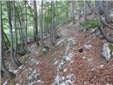 21
21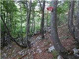 22
22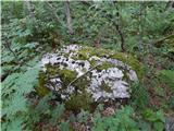 23
23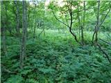 24
24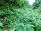 25
25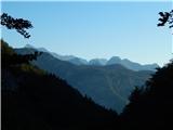 26
26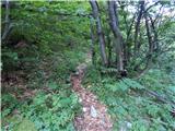 27
27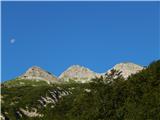 28
28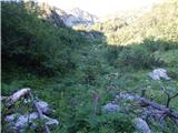 29
29 30
30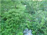 31
31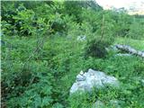 32
32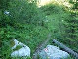 33
33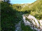 34
34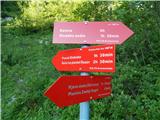 35
35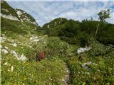 36
36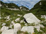 37
37 38
38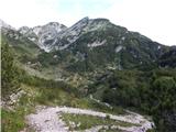 39
39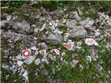 40
40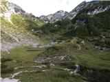 41
41 42
42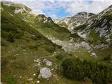 43
43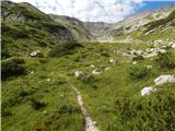 44
44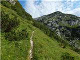 45
45 46
46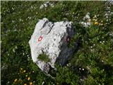 47
47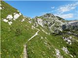 48
48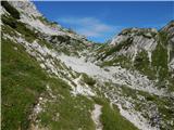 49
49 50
50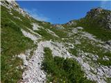 51
51 52
52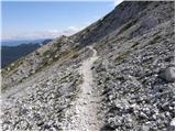 53
53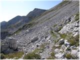 54
54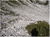 55
55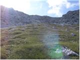 56
56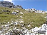 57
57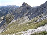 58
58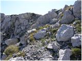 59
59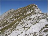 60
60 61
61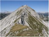 62
62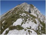 63
63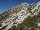 64
64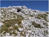 65
65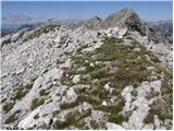 66
66
Discussion about the trip Ukanc - Meja (via Žagarjev graben and Konjsko sedlo)
To post a comment you must log in:
If you do not yet have a username, you must first
register.