Valvasorjev dom pod Stolom - Ajdna (easy path)
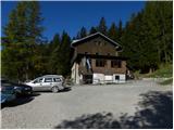
Starting point: Valvasorjev dom pod Stolom (1181 m)
| Latitude/Longitude: | 46,42600°N 14,14680°E |
| |
Route name: easy path
Walking time: 45 min
Difficulty: easy marked way
Elevation gain: -135 m
Elevation difference along the route: 55 m
Map: Karavanke - osrednji del 1:50.000
Recommended equipment (summer): helmet
Recommended equipment (winter): helmet, ice axe, crampons
Views: 20.426
 | 1 person like this post |
Access to starting point:
From the highway Ljubljana - Jesenice, take the Lesce exit and follow the road ahead in the direction of Žirovnica and Jesenice. After a few km of driving, we will get to a crossroad, where the road to Žirovnica and Moste branches off to the right (from the direction of Jesenice left). Only a few meters ahead, at the next crossroad, we turn left into Moste (right Žirovnica). Further, we drive past a monument to fallen fighters, where the road starts ascending a hill under the railway track. At the top of the slope, we turn right (at the sign Vila Karin), but we continue ahead towards Završniško jezero and Valvasorjev dom. The road then flattens and brings us to a crossroad, where the road to Valvasorjev dom branches off to the left. We take the mentioned road (straight to Koča pri izviru Završnice), which starts gently at first, then steeper and steeper, ascending an occasionally quite rough road (the steepest parts are asphalted). Higher up, the road brings us to a somewhat larger crossroad, where we continue left in the direction of Potoška planina (right Doslovška planina). The road then flattens and a little further brings us to the next crossroad. This time we continue slightly right in the direction of Valvasorjev dom (slightly left Ajdna and Potoška planina) and drive on a steeper road all the way to the mentioned hut. We park on one of the parking lots by the road near the mountain hut; parking in front of the mountain hut is allowed only for guests.
From Poljane (crossroad before Završniško jezero) to Valvasorjev dom is 5 km.
Route description:
From Valvasorjev dom we continue on the marked path in the direction of Ajdna. The path, which bypasses the mountain hut on the left side, quickly enters the forest, where it first crosses slopes towards the west, then starts to descend noticeably towards the nearby forest road leading to Potoška planina.
We reach the mentioned road right at a smaller crossroad, from which we continue right downwards in the direction of Ajdna. For a short time we continue on the mentioned road, then the signs for Ajdna direct us steeply left downwards. Further, we descend for some time on a poorer, partly rough cart track, then the path moves onto a ridge, where it gradually flattens. When the marked path leaves the ridge, it turns slightly right and descends to the saddle between Mala Ajdna and Ajdna.
At the mentioned saddle there is a marked junction, where we continue on the lower right and easier path. From the junction the path descends for some time more, thereby semicircularly bypassing the summit of Ajdna. When the path flattens, a path from the village Potoki joins almost unnoticeably from the right, and we continue left and gradually begin to ascend a relatively steep slope. After a few minutes of ascent, the path brings us to a scenic point, where it turns sharply left and flattens. The path further brings us to the archaeological site on Ajdna, and immediately behind the nicely arranged site we turn right steeply upwards. When we step onto the ridge we join the climbing path and continue right, where after a few steps we arrive at the panoramic summit.

Photos:
 1
1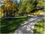 2
2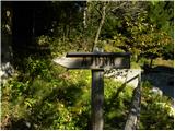 3
3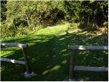 4
4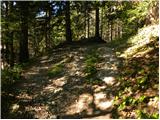 5
5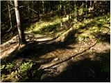 6
6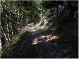 7
7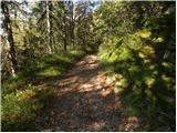 8
8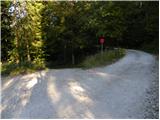 9
9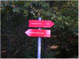 10
10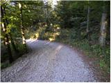 11
11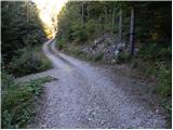 12
12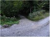 13
13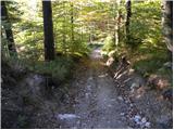 14
14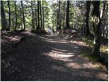 15
15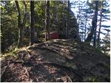 16
16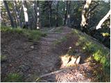 17
17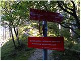 18
18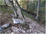 19
19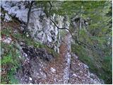 20
20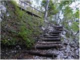 21
21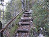 22
22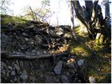 23
23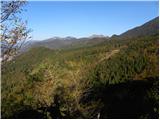 24
24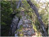 25
25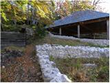 26
26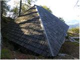 27
27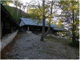 28
28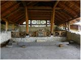 29
29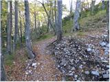 30
30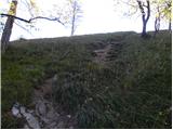 31
31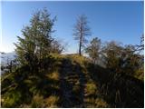 32
32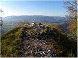 33
33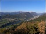 34
34
Discussion about the trip Valvasorjev dom pod Stolom - Ajdna (easy path)
To post a comment you must log in:
If you do not yet have a username, you must first
register.