Velika Varnica - Sveti Avguštin (steep path)
Starting point: Velika Varnica (264 m)
Route name: steep path
Walking time: 30 min
Difficulty: easy unmarked way
Elevation gain: 240 m
Elevation difference along the route: 240 m
Map:
Recommended equipment (summer):
Recommended equipment (winter):
Views: 5.906
 | 1 person like this post |
Access to starting point:
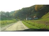
From the direction of Ptuj we drive on a regional road towards Trakoščan. In Videm pri Ptuju we cross the Dravinja and continue in the direction of travel through Zgornji Leskovec. Just before the border crossing Zgornji Leskovec, a small signpost directs us to the right, into a narrower valley. After approximately a kilometer, the asphalt ends and we continue on a good macadam road for approximately 500 m. When we notice a farm on the right and a chapel on the left side of the road, we park (by the road or on the courtyard of the farm).
Route description:
From the parking lot, we head past the chapel and across the pasture uphill. At the end of the pasture, the path leads into the forest. There follows a shorter ascent along a torrent bed, at the end of which we come to an overgrown meadow. The path goes into the forest again and ascends more steeply. After some time we come to the road. There we turn upwards and follow the road to the top.
The path in the forest splits several times, but do not worry, because it soon joins again, so that you can't get lost.
Photos:
 1
1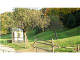 2
2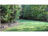 3
3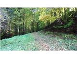 4
4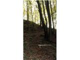 5
5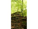 6
6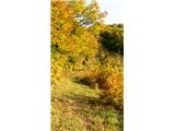 7
7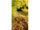 8
8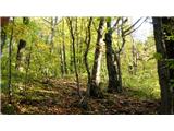 9
9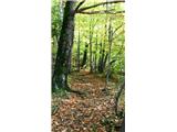 10
10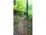 11
11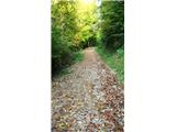 12
12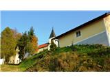 13
13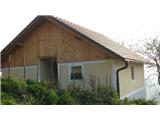 14
14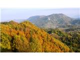 15
15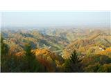 16
16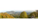 17
17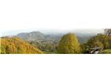 18
18
Discussion about the trip Velika Varnica - Sveti Avguštin (steep path)
|
| Hana27. 10. 2009 |
Beautiful afternoon excursion. Highly recommended!
|
|
|
|
| DomenV27. 10. 2009 |
If anyone has any questions about this "unknown" Haloze peak, feel free to contact me.
|
|
|
To post a comment you must log in:
If you do not yet have a username, you must first
register.