 | border crossing Sotina - Serdiški breg (Rdeči breg) (Austrian path)
Serdiški breg (Rdeči breg) is a 416 m high hill located right next to the Austrian border. From its grassy summit, which has a few benches and a ...
45 min |
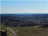 | Sotina - Sotinski breg (Kugla) (via Patrov Breg)
Sotinski breg (Kugla) is the highest peak of Prekmurje at 418 m. From the summit, which features a wooden observation tower with a bell and cross...
30 min |
 | border crossing Sotina - Sotinski breg (Kugla) (western path)
Sotinski breg (Kugla) is the highest peak of Prekmurje at 418 m. From the summit, which features a wooden observation tower with a bell and cross...
30 min |
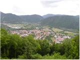 | Tolmin - Kozlov rob (Grajska pot)
Kozlov rob, or Grad as the locals call it, is a 426-meter-high hill located above Tolmin. From the summit, which features renovated ruins of the ...
30 min |
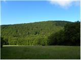 | Zagorica pri Dobrniču - Sveti Križ (Liška gora)
The Church of the Holy Cross is located east of the slightly higher, forested Lisec. From the church, near which there is a large meadow, there i...
40 min |
 | Podgrad - Castle Stari grad (Stari Osterberg) (via millstone quarry)
Stari grad, or Stari Osterberg, was first mentioned in the 12th century (less likely as early as 1015), at which time the castle belonged to the ...
45 min |
 | Podgrad - Murjevka
Murjevka is a 443-meter-high peak above the valley of the Besnica stream, south of Podgrad. The summit is located in the forest so it doesn't off...
40 min |
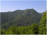 | Volče - Mengore
Mengore (453 m) rises between Most na Soči, Volče, and Tolmin. From the summit, where the Church of St. Mary stands alongside the St. Joseph's sh...
40 min |
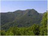 | Preval Poljance - Mengore (steep path)
Mengore (453 m) rises between Most na Soči, Volče, and Tolmin. From the summit, where the Church of St. Mary stands alongside the St. Joseph's sh...
30 min |
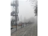 | Zlogonje - Vidikovac Vukovoj
Vidikovac Vukovoj is located on the eastern part of Ravna Gora. Built in 2025, it quickly became extremely popular among visitors and hikers from...
45 min |
 | Brezje pri Dobrovi - Vrhovčev grič (via Strmca)
Vrhovčev grič is an indistinct, forested peak located just a few meters off the marked trail between Debeli hrib and Strmca....
45 min |
 | Ruše - Kluže
Kluže (also Kluža) is a 496-meter-high hill situated between the right bank of the Drava and the left bank of the Lobnica. A short unmarked path ...
45 min |
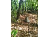 | Donja Višnjica - Kukelj (direct steep path)
Kukelj is an indistinct summit between the villages of Donja Višnjica, Zlogonje, and Goranec. Rising to 521 meters, it is the highest peak in the...
45 min |
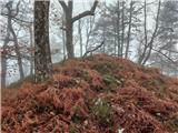 | Liboje - Kamčič (via organic farm Kralj - northern approach)
Kamčič is a wooded peak in the Posavje Hills, located north of Šmohor between Kotečnik to the left and Veliki Slomnik to the right. It is recogni...
45 min |
 | Ribnik - Debenji vrh
Debenji vrh, also known as Debni or Deben vrh, at 530 m, is the highest peak of Kašeljski grič, a small range located between the Besnica valley ...
40 min |
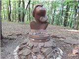 | Dragomer - Vrh (Debeli hrib)
Vrh is a 540-meter-high hill on the Debeli hrib ridge, which lies between the Ljubljana Marshes and the Horjulščica river valley. The view from t...
40 min |
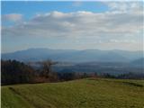 | Vrzdenec - Gradišče above Žažar (via Plesa)
Gradišče above Žažar is a panoramic peak topped by a large wooden cross. From the summit, which also has a summit logbook with a stamp, there is ...
45 min |
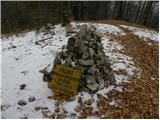 | Povodje - Veliki vrh (Rašica)
Veliki vrh is a 568-meter-high hill located west of Vrh Staneta Kosca. Just a few meters below the otherwise forested summit lies a small abyss n...
45 min |
 | Ruše - Lorbekov vrh
Lorbekov vrh is a 578-meter-high peak located southwest of Ruše. The summit lies in the forest, but from a meadow just below it, a nice view open...
45 min |