Vrzdenec - Gradišče above Žažar (via Plesa)
Starting point: Vrzdenec (341 m)
| Latitude/Longitude: | 46,01870°N 14,27600°E |
| |
Route name: via Plesa
Walking time: 45 min
Difficulty: easy unmarked way
Elevation gain: 206 m
Elevation difference along the route: 210 m
Map: Ljubljana - okolica 1:50.000
Recommended equipment (summer):
Recommended equipment (winter):
Views: 1.310
 | 1 person like this post |
Access to starting point:
A) We drive to Horjul, then continue driving towards Vrzdenec. The described path starts at the turn-off of the road towards ZOO park Rožman, which is situated at the beginning of the settlement Vrzdenec; we park at a suitable place nearby or further along the described path.
B) From Gorenja vas or Žiri we drive towards Horjul, and when we arrive at Vrzdenec we pay attention, since at the turn-off of the road to the right towards ZOO park Rožman, which is situated at the beginning of the settlement Vrzdenec, we park at a suitable place nearby or further along the described path.
Route description:
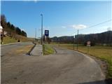
From the main road, we continue in the direction of ZOO park Rožman. At first, we walk parallel to the main road, then a little before the nearby house we continue right, also this time in the direction of ZOO park. A little further, from the crossroad at the hayrack we continue straight (left ZOO park Rožman), then after crossing Horjulka we continue on the upper right road. From the crossroad onwards, the road starts to ascend, higher up with nice views of the surrounding hills, on the left side we bypass a smaller hamlet. A little further from the hamlet the asphalt road turns right to the last homestead, but we continue straight onto the macadam road, which to the edge of the forest continues without major changes in elevation. At the edge of the forest the worse road turns right, we continue straight on the cart track; at the junction a few steps away we go left. There follows a short ascent through the forest, then across the meadow we reach another cart track, which we follow to the right into the forest. A little further we arrive at a junction of several cart tracks, and we continue straight. There follows a few minutes' ascent along the cart track, and when the forest ends, the cart track also ends. We continue across the meadow, where we follow a footpath that brings us to the summit of Gradišče amid ever more beautiful views.
Description and pictures refer to the condition in 2016 (December).

Photos:
 1
1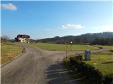 2
2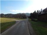 3
3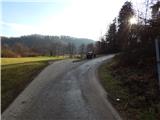 4
4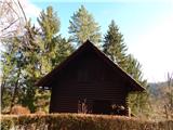 5
5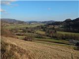 6
6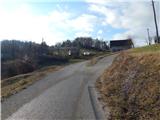 7
7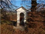 8
8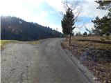 9
9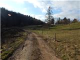 10
10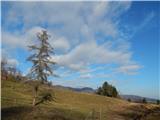 11
11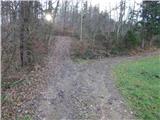 12
12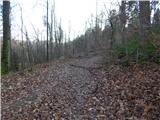 13
13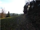 14
14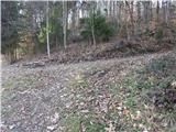 15
15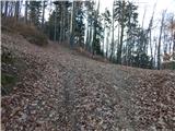 16
16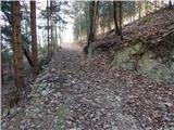 17
17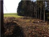 18
18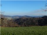 19
19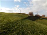 20
20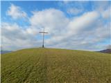 21
21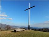 22
22 23
23
Discussion about the trip Vrzdenec - Gradišče above Žažar (via Plesa)
To post a comment you must log in:
If you do not yet have a username, you must first
register.