Veliko Ubeljsko - Vojkova koča na Nanosu (via Sveti Bric)
Starting point: Veliko Ubeljsko (589 m)
| Latitude/Longitude: | 45,77200°N 14,07810°E |
| |
Route name: via Sveti Bric
Walking time: 2 h 55 min
Difficulty: easy unmarked way, easy marked way
Elevation gain: 651 m
Elevation difference along the route: 740 m
Map: Nanos 1:50.000
Recommended equipment (summer):
Recommended equipment (winter): ice axe, crampons
Views: 3.980
 | 1 person like this post |
Access to starting point:
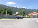
From the Ljubljana - Koper motorway we take the Razdrto exit and continue along the parallel old road towards Postojna. Soon we notice signs directing us left towards the villages Veliko Ubeljsko and Strane. In the village Malo Ubeljsko we reach the next junction, where we continue left (slightly right towards Strane) in the direction of Veliko Ubeljsko. We follow this road to the parking area by the cemetery, located just before the village Veliko Ubeljsko.
Route description:
From the well-maintained asphalted parking area by the cemetery we continue along the asphalt road, which quickly brings us to the village Veliko Ubeljsko. The path leads us past a few houses, a sports field somewhat away from the road and a NOB memorial to the parish church of St. Urh, which we bypass on the right side. At the junction above the church we notice the first mountain markings directing us straight onto the road that climbs above the village. At the end of the settlement we continue right past the water reservoir onto a gravel road that subsequently climbs transversely through the forest. A few minutes higher we reach a spacious turning area, where the marked path to Vojkova koča turns left onto an ascending cart track, while we continue straight along a gentle and subsequently unmarked cart track. A little further this temporarily leads us out of the forest or shrubbery onto a scenic slope surrounded by fenced pastures. Shrubs, including blackberry bushes (blackberries in this area usually ripen at the end of August and in September), are soon replaced by dense forest, through which we then climb transversely for quite some time along a mostly gentle cart track. When the forest thins out somewhat or when the mostly coniferous forest is replaced by mixed forest, the path levels out and becomes more overgrown. We walk for a few minutes along a well-traceable but occasionally denser path, then join the marked path leading from the village Strane towards Nanos.
When we reach the marked path we follow it to the left; it initially leads us along a fairly gentle and quite rocky cart track. The cart track quickly becomes quite steep, and at a few smaller junctions we follow it in the direction of the markings. Higher up the trail leads us past a small spring, then after a few more minutes of walking brings us to a marked junction where we continue right towards the chapel of St. Bric (straight ahead Vojkova koča na Nanosu and Suhi vrh).
From the junction there follows only a short, approximately two-minute transverse ascent that brings us to the chapel of St. Bric, from which there is no wider view due to the nearby forest.
From the chapel we return to the junction and then continue in the direction of Nanos. The path continues to climb transversely across a steeper slope, from which some views open through the tree crowns. Higher up a marked path branches off to the right towards the highest peak of Nanos – Suhi vrh, while we continue slightly left towards the hut. A little further the forest thins out, opening a fine view of the Postojna basin and the hills surrounding it. When the path returns to the forest, another path branches off to the right towards Suhi vrh, and again we continue left towards Vojkova koča.
From the junction onwards the path runs for some time through dense forest, then after a short ascent we step onto a ridge where we temporarily leave the forest crowns. From here we turn slightly right and descend towards a small valley (the area is called Lapuš). When we reach its edge the path turns left and then continues across overgrown meadows. A few more minutes of walking through the forest follow, after which we step onto a beautiful grassy plain near Vojkova koča, separated from it by only a short walk.
Starting point - Pod kamnom 0:20, Pod kamnom - Pri stajah 0:35, Pri stajah - sv. Bric 0:35, sv. Bric - Na vrhu skal 0:30, Na vrhu skal - Vojkova koča 0:55.
Description and photographs refer to the situation in August 2015.

Photos:
 1
1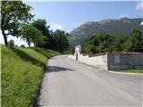 2
2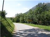 3
3 4
4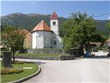 5
5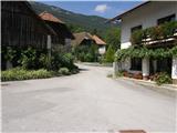 6
6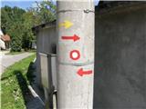 7
7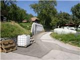 8
8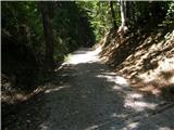 9
9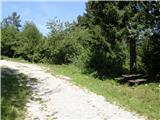 10
10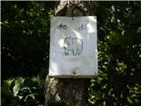 11
11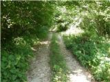 12
12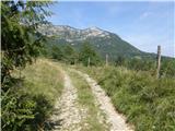 13
13 14
14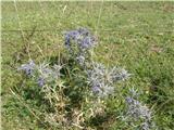 15
15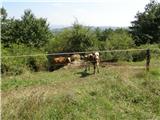 16
16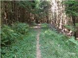 17
17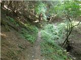 18
18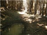 19
19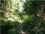 20
20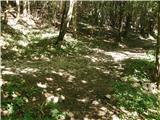 21
21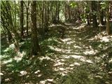 22
22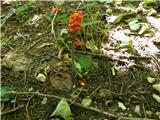 23
23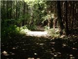 24
24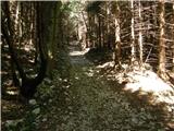 25
25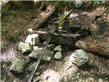 26
26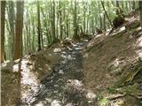 27
27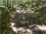 28
28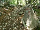 29
29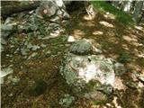 30
30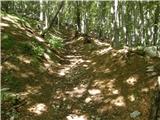 31
31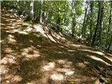 32
32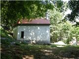 33
33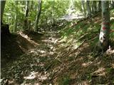 34
34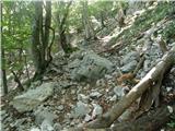 35
35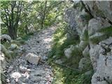 36
36 37
37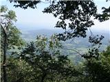 38
38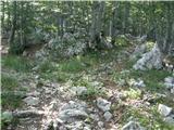 39
39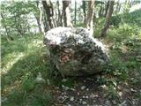 40
40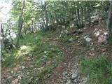 41
41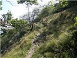 42
42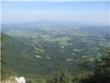 43
43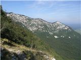 44
44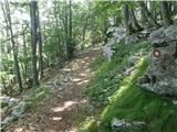 45
45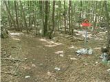 46
46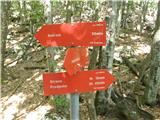 47
47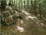 48
48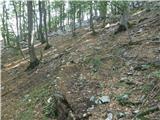 49
49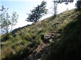 50
50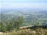 51
51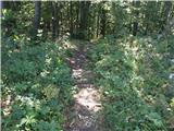 52
52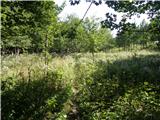 53
53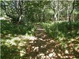 54
54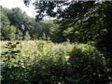 55
55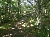 56
56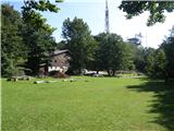 57
57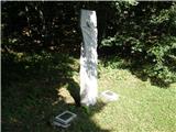 58
58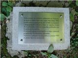 59
59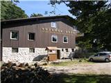 60
60
Discussion about the trip Veliko Ubeljsko - Vojkova koča na Nanosu (via Sveti Bric)
To post a comment you must log in:
If you do not yet have a username, you must first
register.