Starting point: Vipava (104 m)
| Latitude/Longitude: | 45,84780°N 13,95980°E |
| |
Walking time: 2 h
Difficulty: easy marked way
Elevation gain: 689 m
Elevation difference along the route: 689 m
Map: Nanos 1:50.000
Recommended equipment (summer):
Recommended equipment (winter):
Views: 34.538
 | 2 people like this post |
Access to starting point:
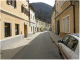
From Razdrto we drive on the highway towards Nova Gorica or vice versa and head to the Vipava exit. We follow the road ahead towards Vipava, where in its centre, near the church, we park.
Route description:
From the church, we continue on the road towards the southeast and then head onto the asphalt road following the signs »Nanos, Grad«. The road, which is marked with blazes, starts ascending past houses and then brings us to the end of the asphalt road. Here we turn right onto a footpath, which first leads along the fence, then turns left into the forest. After a short ascent through the forest we come to an unmarked junction, where we continue right, while left the path leads to Vipavski grad, which is only a few minutes' walk away.
We soon come again to a junction, where the »longer path« from Vipava joins from the left. The path then slightly ascends through the forest for quite some time; at the next junction we turn left following the signs »Nanos, Abram«. The path continues ascending through the forest and at the next junction as well we continue left following the signs »Nanos, Abram«. The path then turns right and brings us in a gentle ascent to the chapel (694m), where there is also a small bench as well as a logbook and stamp.
A little after the chapel there is a junction, where we continue right on the cart track following the signs »Gr. Tura«, while left the path leads towards Nanos. The path ahead is unmarked for some time.
We continue on the cart track, then in a gentle right bend go straight onto the footpath (number on the tree 145). The footpath then brings us to the mountain road, which soon ends. We continue on the cart track, which starts ascending through the forest. When we come out of the forest we are soon again at a junction, where we rejoin the marked path. We turn right onto the footpath following the signs »Gr. Tura«, while left the path leads towards Abram. The path brings us back into the forest and then turns slightly right. Only a short descent and ascent to the summit of Gradiška Tura follows.

Photos:
 1
1 2
2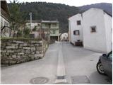 3
3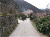 4
4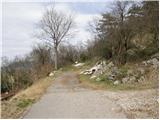 5
5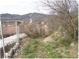 6
6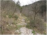 7
7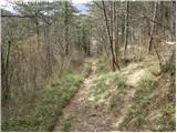 8
8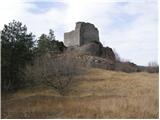 9
9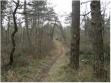 10
10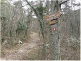 11
11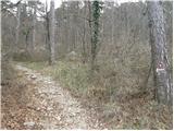 12
12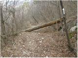 13
13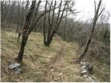 14
14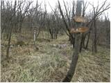 15
15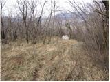 16
16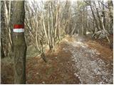 17
17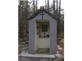 18
18 19
19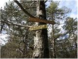 20
20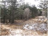 21
21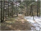 22
22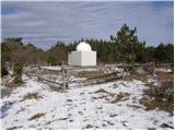 23
23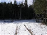 24
24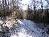 25
25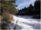 26
26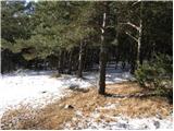 27
27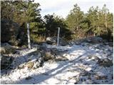 28
28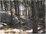 29
29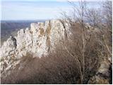 30
30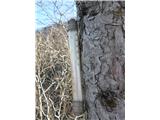 31
31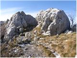 32
32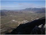 33
33
Discussion about the trip Vipava - Gradiška Tura
|
| Berstuk26. 12. 2020 |
Has anyone been up there today? How much snow?
|
|
|
|
| padez27. 12. 2020 |
Yes, all the way towards Abram...
|
|
|
To post a comment you must log in:
If you do not yet have a username, you must first
register.