Starting point: Vrh Bače (1273 m)
| Latitude/Longitude: | 46,23810°N 13,98040°E |
| |
Walking time: 3 h
Difficulty: easy unmarked way
Elevation gain: 513 m
Elevation difference along the route: 715 m
Map: Škofjeloško in Cerkljansko hribovje 1:50.000
Recommended equipment (summer): helmet
Recommended equipment (winter): helmet, ice axe, crampons
Views: 2.033
 | 2 people like this post |
Access to starting point:
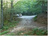
A) First, we drive to Bohinjska Bistrica, and then continue driving towards Soriška planina and Tolmin. Before we get to the parking lot below the ski center Soriška planina, i.e., about 400 m lower, a macadam road branches off to the right, which we follow to its end.
B) From Železniki or Podbrdo, we first drive to Soriška planina, and from there we start descending towards Bohinjska Bistrica. After about 400 m of descent, we need to pay attention to the left branch-off of the macadam road, because we will continue driving on it. We then follow this road to its end, where we also park.
Route description:
From the end of the road, we walk to the mountain signposts, from there continuing right in the direction of Črna prst. There follows a few-minute ascent through the forest, then the path flattens and brings us to the GRS hut. Further on there follows a short descent, and the path from the slopes of Šanc gradually transitions to the less vegetated slopes of Kobla. Here we first ascend through sparse forest, then the path brings us to a slightly exposed ridge, along which we begin to ascend steeply (in wet conditions there is a risk of slipping on some spots). Higher up the ridge flattens, the path turns right, which after one more minute of walking brings us to the indistinct summit of Kobla.
From Kobla there follows a gentle descent, then the path continues along a less steep ridge towards the neighbouring Krevl. Towards the summit of Krevl, a little further to the left, a marked path branches off in the direction of "Kobla žig", while we continue straight and bypass the summit on the right side, to which it is otherwise only a few dozen steps.
On the other side of Krevl the path starts descending again, this time to the nearby ski slope. When we reach the edge of the ski slope, we notice signs for Črna prst, which direct us left downwards. There follows some more descent, then we arrive at a small marsh Na Kalu, where there is also a less noticeable junction. We continue on the right path (to the left over a small saddle leads an old shepherd path that crosses the southern slopes of the lower Bohinj mountains, which later joins the path from Podbrdo towards Črna prst), which continues gently descending and a little lower brings us to a marked junction, where the path from the mountain pasture Za Črno goro joins from the right.
At the mentioned junction we continue slightly left, then we start moderately ascending through the forest. Higher up the trail makes a few long switchbacks, then from the increasingly sparse forest or shrub belt brings us to the scree below Rušni vrh. Here the path temporarily flattens, then on the other side of the scree starts steeply ascending up the grassy gully below the Home ridge. On this section in late spring there is an increased danger of falling rocks. Higher up the gully ends, and the path crosses a short steep slope, where snow can still persist into early summer. Above the steep section we join the path from Orožnova koča hut, just a few meters higher we step onto the ridge, which we reach at the Čez Suho saddle.
At the mentioned saddle we leave the marked path and continue the ascent left on an unmarked trail, which climbs the Rušni vrh ridge. The steepness quickly eases and the increasingly panoramic path brings us after 5 minutes of walking from the place where we left the markings to the little-visited summit.

Photos:
 1
1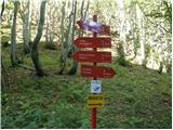 2
2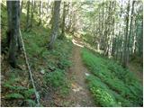 3
3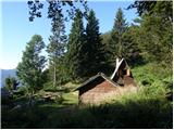 4
4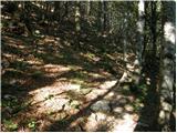 5
5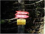 6
6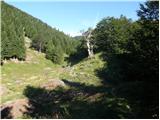 7
7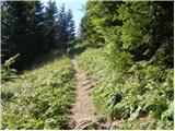 8
8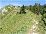 9
9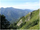 10
10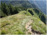 11
11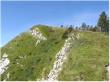 12
12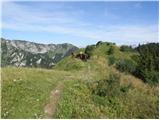 13
13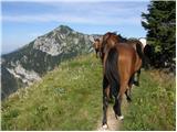 14
14 15
15 16
16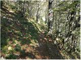 17
17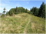 18
18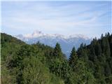 19
19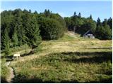 20
20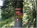 21
21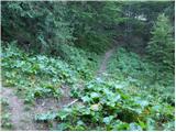 22
22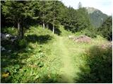 23
23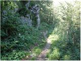 24
24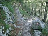 25
25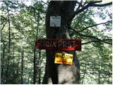 26
26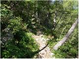 27
27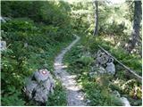 28
28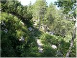 29
29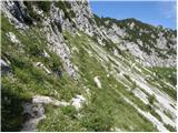 30
30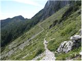 31
31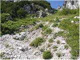 32
32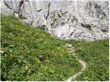 33
33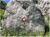 34
34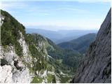 35
35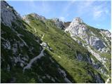 36
36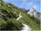 37
37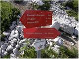 38
38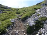 39
39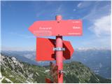 40
40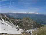 41
41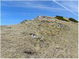 42
42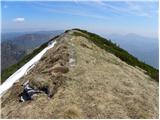 43
43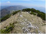 44
44 45
45
Discussion about the trip Vrh Bače - Rušni vrh
To post a comment you must log in:
If you do not yet have a username, you must first
register.