Waldheimhütte - Zirbitzkogel (via Wildsee)
Starting point: Waldheimhütte (1614 m)
| Latitude/Longitude: | 47,05620°N 14,63050°E |
| |
Route name: via Wildsee
Walking time: 3 h 32 min
Difficulty: easy marked way
Elevation gain: 782 m
Elevation difference along the route: 845 m
Map: WK 212 (Seetaler & Seckauer Alpen 1:50.000)
Recommended equipment (summer):
Recommended equipment (winter): ice axe, crampons
Views: 10.212
 | 2 people like this post |
Access to starting point:
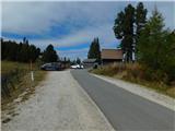
We leave the motorway Klagenfurt am Wörthersee – Graz at the exit Bad St. Leonhard im Lavanttal, and then we follow the signs for Zeltweg and Reichenfels. After the settlement Reichenfels we reach the state border between Austrian Carinthia / Kärnten and Styria / Steiermark, and a little further we arrive at the Obdacher Sattel pass, where we turn left towards the settlement St. Anna am Lavantegg. Next follows a steeper ascent to the mentioned settlement, from where we follow the signs for the Waldheimhütte mountain hut. In the last section we continue on a toll road; the toll is paid at the parking meter next to the Waldheimhütte mountain hut (the toll in 2025 was 3 euros for a passenger car).
Route description:
From the parking lot we walk past the mountain hut to a marked junction, from which we head slightly left onto the path towards Köhlerhütte (straight ahead Zirbitzkogel) and begin ascending diagonally along the forest road. The path along the road leads mostly through the forest and after a good 20 minutes of walking brings us to the chapel in the tree Maria in der Zirbe.
Further on, the road gradually turns into a wider cart track and then splits.
We continue along the lower path (the upper one leads to a nearby holiday cottage) and keep following the markings, gradually starting to ascend a bit more steeply. When a little further ahead we reach the indistinct ridge and the junction by Türkenkreuz, we continue straight onto the path towards Wildsee and Rohrerhütte (right Köhlerhütte).
Some diagonal descent down a slightly steeper slope follows, then we cross the Lavant river over a small bridge – the river after which the Lavanttal Alps are named. A gentle ascent follows, then past another cross we arrive at the next junction, where we turn right towards Wildsee and the summit of Zirbitzkogel (straight ahead Rohrerhütte).
Further on, the marked path is less distinct in places but remains fairly easy to follow throughout; in a moderate ascent across grassy slopes we reach the vicinity of the lake, from where the view of Wildsee already opens up.
We continue the ascent along the left side of the lake, then, when the path turns right onto the slope, we climb a bit more steeply along a faintly visible footpath. After approximately 20 minutes of ascent the path levels out and brings us to a junction on the broad southern ridge of Fuchskogel, from where we continue right towards Zirbitzkogel.
The path ahead ascends moderately; looking to the right, a beautiful view of lake Wildsee soon opens up. A little further on, the path flattens again and we reach a junction where a fairly short path branches off to the right to the summit of Fuchskogel (about 3 minutes). We continue left towards Zirbitzkogel.
The path gradually transitions onto a partly grassy ridge that connects Fuchskogel with Zirbitzkogel. At first we descend gently, then gradually begin to ascend along the southern ridge of Zirbitzkogel, where a path coming from the left joins us – the one that starts at Tonnerhütte.
We continue straight towards Zirbitzkogel (left Tonnerhütte, right lake Lavantsee) and follow the ridge. At first the ascent is still moderate, then come a few shorter steeper sections. As we approach the summit, the path leaves the ridge to the right, then in a traversing ascent reaches a cart track where the regular path from Waldheimhütte joins from the right.
We continue the ascent along the cart track, which quickly brings us to Zirbitzkogelhütte.
Here we go left and past a rocky chapel we quickly reach the panoramic peak, from which the view reaches all the way to Slovenian and Italian mountains.
Starting point – Wildsee 2:00, Wildsee – Fuchskogel 0:45, Fuchskogel – Zirbitzkogelhütte 0:45, Zirbitzkogelhütte – Zirbitzkogel 0:02.

Photos:
 1
1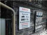 2
2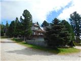 3
3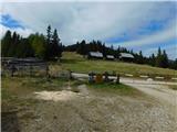 4
4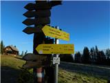 5
5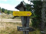 6
6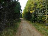 7
7 8
8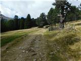 9
9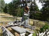 10
10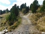 11
11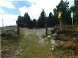 12
12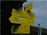 13
13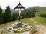 14
14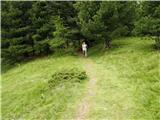 15
15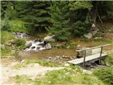 16
16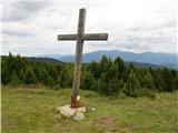 17
17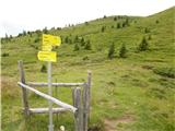 18
18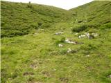 19
19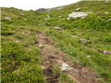 20
20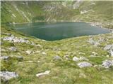 21
21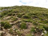 22
22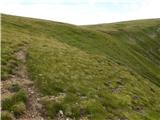 23
23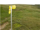 24
24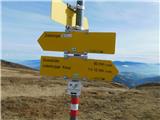 25
25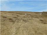 26
26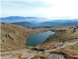 27
27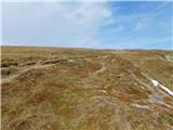 28
28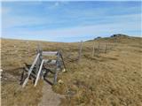 29
29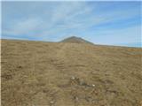 30
30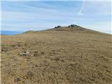 31
31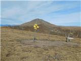 32
32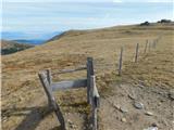 33
33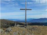 34
34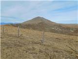 35
35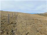 36
36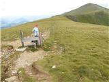 37
37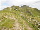 38
38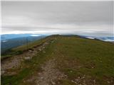 39
39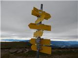 40
40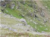 41
41 42
42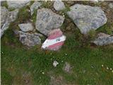 43
43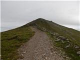 44
44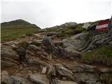 45
45 46
46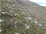 47
47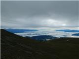 48
48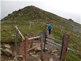 49
49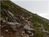 50
50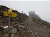 51
51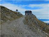 52
52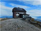 53
53 54
54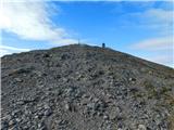 55
55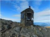 56
56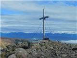 57
57 58
58
Discussion about the trip Waldheimhütte - Zirbitzkogel (via Wildsee)
|
| Gost15. 07. 2007 |
I had the opportunity to hike this tour and I can say that in summer it is wonderful, full of flowers.
|
|
|
To post a comment you must log in:
If you do not yet have a username, you must first
register.