Weißenbach - Spitzegel / Negal (25d)
Starting point: Weißenbach (960 m)
| Latitude/Longitude: | 46,68460°N 13,43897°E |
| |
Route name: 25d
Walking time: 3 h 40 min
Difficulty: partly demanding marked way
Elevation gain: 1159 m
Elevation difference along the route: 1165 m
Map:
Recommended equipment (summer):
Recommended equipment (winter):
Views: 1.250
 | 1 person like this post |
Access to starting point:
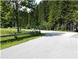
The small village Weißenbach (postal no. 9714) in the Austrian state of Carinthia is the starting point. Leave the highway from Villach towards Spittal at the exit Paternion. After that there are two options. First, via Stockenboi and then after approx. 4 kilometers follow the sign Farchtensee and turn left (straight ahead is lake Weißensee), drive a few minutes more and you arrive at the starting point. The second option is via Kreuzen and lake Farchtensee to the starting point. The starting point is recognized by a small crossroad with many signs (e.g. Fischeralm, Bodenalm, Jausenstation). Park by the road on the other side from the signs.
Route description:
From the starting point, turn onto the road that branches off from the regional road towards the mountain pasture Fischeralm (also Bodenalm or Jausenstation). The road soon becomes gravel. Higher up, a barrier appears on the road. Follow the well-marked road or track to Fischeralm (sometimes written as Fischer Alm).
Just before the pasture, signs direct to path 25d for Spitzegel. The path ascends along the stream bed and soon crosses it. The left turn-off across the stream bed is less visible, as straight ahead a track leads to the water intake (10 minutes walk aside).
After the turn-off, the path continues the ascent through the forest (recent logging) and winds increasingly eastward. When it reaches an indistinct ridge in a gentle slope, it starts returning westward again. Here, turn right following signs 25d (westward).
The forest becomes sparser ahead. Initially the path runs through larch forest, eventually replaced by dwarf pines, a few meters below the saddle grass.
The path changes its nature when it reaches the saddle west of Mount Vellacher Egel, 2108m. From here, it traverses the southern slopes of the ridge. Towards the summit of Negal (Spitzegel), it ascends steeply along a somewhat narrower ridge. Some very easy scrambling is required here (partly demanding section).
The summit is an excellent viewpoint over the Gail Valley and the western part of the Julian Alps. To the north, the large beautiful lake Weißensee is also visible. On the summit there is a cross, a summit register box, and a stamp for the Vrhovi prijateljstva transverzal.
Return is possible westward via pastures (Zgornja Belška planina, Radnigeralm and Bodenalm).

Photos:
 1
1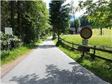 2
2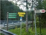 3
3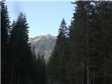 4
4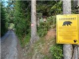 5
5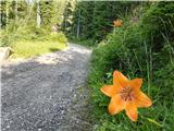 6
6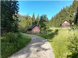 7
7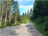 8
8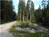 9
9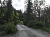 10
10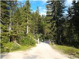 11
11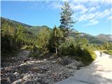 12
12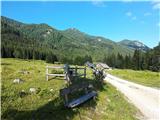 13
13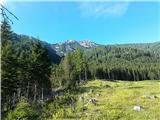 14
14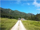 15
15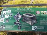 16
16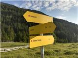 17
17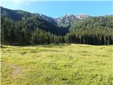 18
18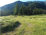 19
19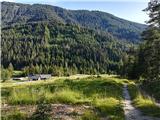 20
20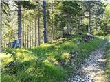 21
21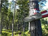 22
22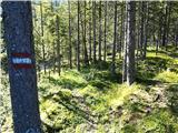 23
23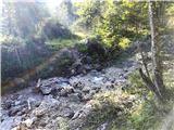 24
24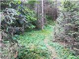 25
25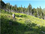 26
26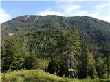 27
27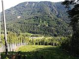 28
28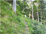 29
29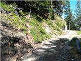 30
30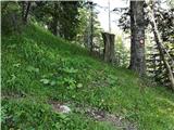 31
31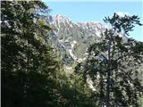 32
32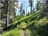 33
33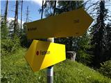 34
34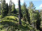 35
35 36
36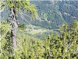 37
37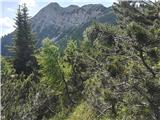 38
38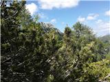 39
39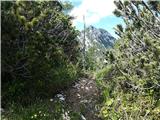 40
40 41
41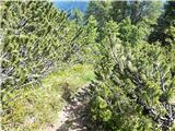 42
42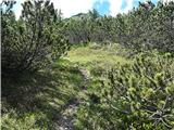 43
43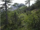 44
44 45
45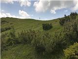 46
46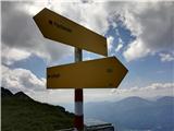 47
47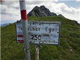 48
48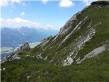 49
49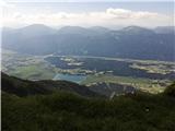 50
50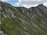 51
51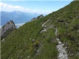 52
52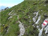 53
53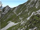 54
54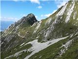 55
55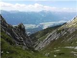 56
56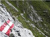 57
57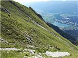 58
58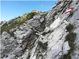 59
59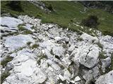 60
60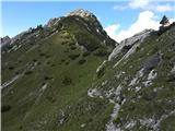 61
61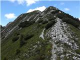 62
62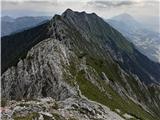 63
63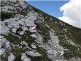 64
64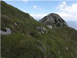 65
65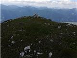 66
66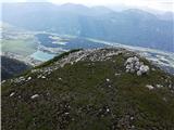 67
67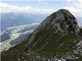 68
68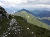 69
69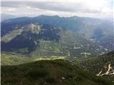 70
70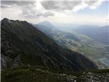 71
71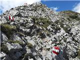 72
72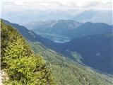 73
73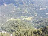 74
74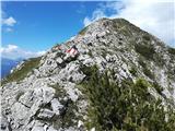 75
75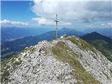 76
76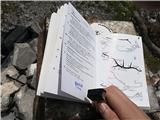 77
77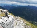 78
78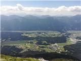 79
79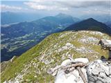 80
80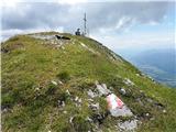 81
81
Discussion about the trip Weißenbach - Spitzegel / Negal (25d)
To post a comment you must log in:
If you do not yet have a username, you must first
register.