Starting point: Zabočevo (400 m)
| Latitude/Longitude: | 45,90950°N 14,40080°E |
| |
Walking time: 2 h
Difficulty: easy unmarked way
Elevation gain: 598 m
Elevation difference along the route: 615 m
Map: Ljubljana - okolica 1:50.000
Recommended equipment (summer):
Recommended equipment (winter):
Views: 6.584
 | 1 person like this post |
Access to starting point:
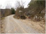
From the Ljubljana–Koper motorway, take the Vrhnika exit and follow the road ahead in the direction of Verd, Bistra, Borovnica and Podpeči. In Borovnica we come to a crossroads, where we continue right in the direction of Pekel. We follow the relatively narrow road ahead in the direction of Brezovica pri Borovnici, but only to the spot where signs for the village Zabočevo direct us to the left. The road soon brings us to the mentioned village, and we follow it a little further to the mountain signposts for Rakitna. We park on one of the parking lots by the road.
Route description:
From the starting point, by which there is also a warning sign that we are entering the bear area, we head onto the footpath in the direction of Rakitna. The path first leads along a wide cart track, which after good 10 minutes of moderate ascent brings us to a smaller clearing, where there is also a poorly marked junction.
Rare and occasionally quite faded blazes here direct us right onto a noticeably steeper cart track, which then continues ascending transversely. The path higher brings us to a forest road, which we merely cross, as signs for Rakitna and Krimšček direct us onto a cart track that continues ascending through the forest.
The increasingly gentle path, continuing towards the southeast, eventually brings us to a junction at the NOB monument.
We continue straight on the poorer forest road (left downhill to Rakitna) along which, besides the usual ones, we notice triangular blazes. Higher we reach an unmarked junction, where we continue along the left wider cart track, along which the triangular blazes continue (here the path with usual blazes turns right). The cart track, which is becoming worse, ascends more steeply higher up and brings us out of the forest onto grassy slopes, where we also arrive at a small saddle.
On the saddle, located between Novaška gora on the left and Krimšček on the right, we also leave the marked path and continue the ascent slightly left along an unmarked trail that begins to climb over the increasingly panoramic grassy slope. The path, from which a nice view opens onto Krim and the surrounding hills, higher enters the forest, where it then continues all the way to the top.

Photos:
 1
1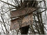 2
2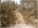 3
3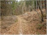 4
4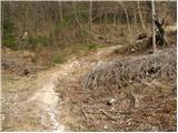 5
5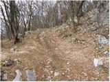 6
6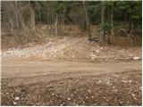 7
7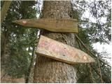 8
8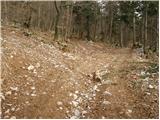 9
9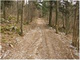 10
10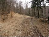 11
11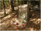 12
12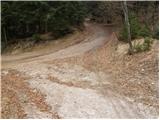 13
13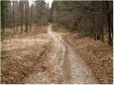 14
14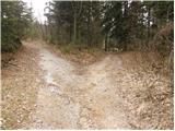 15
15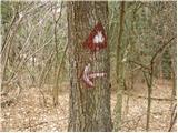 16
16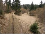 17
17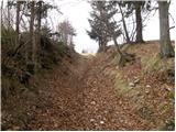 18
18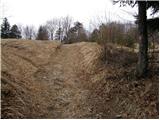 19
19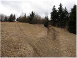 20
20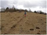 21
21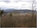 22
22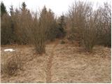 23
23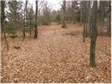 24
24 25
25
Discussion about the trip Zabočevo - Novaška gora
To post a comment you must log in:
If you do not yet have a username, you must first
register.